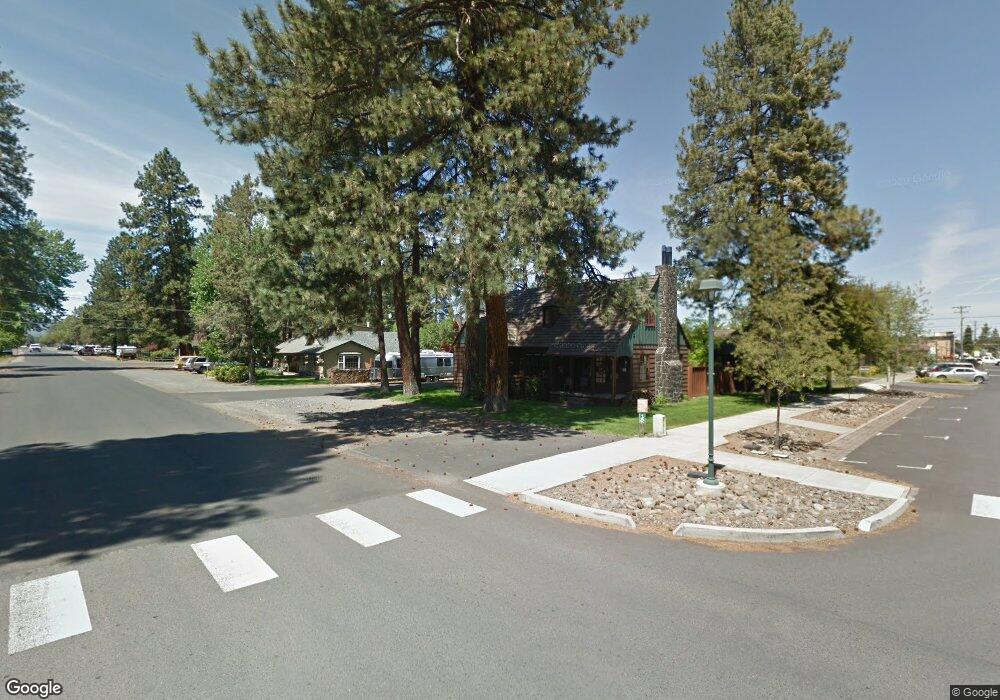
251 S Elm St Sisters, OR 97759
Estimated Value: $721,000 - $884,000
1
Bed
2
Baths
1,475
Sq Ft
$534/Sq Ft
Est. Value
About This Home
This home is located at 251 S Elm St, Sisters, OR 97759 and is currently estimated at $787,288, approximately $533 per square foot. 251 S Elm St is a home with nearby schools including Sisters Elementary School, Sisters Middle School, and Sisters High School.
Ownership History
Date
Name
Owned For
Owner Type
Purchase Details
Closed on
Jan 9, 2020
Sold by
Willitts William G and Willitts Patricia Z
Bought by
Lemire Joseph and Lemire Marcia
Current Estimated Value
Home Financials for this Owner
Home Financials are based on the most recent Mortgage that was taken out on this home.
Original Mortgage
$450,000
Outstanding Balance
$396,740
Interest Rate
3.6%
Mortgage Type
New Conventional
Estimated Equity
$390,548
Purchase Details
Closed on
Dec 12, 2012
Sold by
State Of Oregon
Bought by
Willitts William G and Willitts Patricia Z
Create a Home Valuation Report for This Property
The Home Valuation Report is an in-depth analysis detailing your home's value as well as a comparison with similar homes in the area
Home Values in the Area
Average Home Value in this Area
Purchase History
| Date | Buyer | Sale Price | Title Company |
|---|---|---|---|
| Lemire Joseph | $600,000 | Western Title & Escrow | |
| Willitts William G | $135,000 | Wstern Title |
Source: Public Records
Mortgage History
| Date | Status | Borrower | Loan Amount |
|---|---|---|---|
| Open | Lemire Joseph | $450,000 |
Source: Public Records
Tax History Compared to Growth
Tax History
| Year | Tax Paid | Tax Assessment Tax Assessment Total Assessment is a certain percentage of the fair market value that is determined by local assessors to be the total taxable value of land and additions on the property. | Land | Improvement |
|---|---|---|---|---|
| 2025 | $4,177 | $251,730 | -- | -- |
| 2024 | $4,047 | $244,400 | -- | -- |
| 2023 | $3,931 | $237,290 | $0 | $0 |
| 2022 | $3,654 | $223,670 | $0 | $0 |
| 2021 | $3,693 | $217,160 | $0 | $0 |
| 2020 | $3,511 | $217,160 | $0 | $0 |
| 2019 | $3,424 | $210,840 | $0 | $0 |
| 2018 | $3,314 | $204,700 | $0 | $0 |
| 2017 | $3,199 | $198,740 | $0 | $0 |
| 2016 | $3,154 | $192,960 | $0 | $0 |
| 2015 | $2,961 | $187,340 | $0 | $0 |
| 2014 | $2,864 | $181,890 | $0 | $0 |
Source: Public Records
Map
Nearby Homes
- 285 W Washington Ave
- 187 W Jefferson Ave
- 337 W Jefferson Ave
- 681 S Elm St
- 180 S Spruce St
- 471 W Cascade Ave
- 546 S Cottonwood St
- 0 N Spruce St
- Lot-500 Forest Service Loop Unit 1030 Rd
- 0 E Washington Ave Unit 5901 220193407
- 568 W Jefferson Ave
- 657 S Fir St
- 597 W Jefferson Ave
- 157 E Black Crater Ave
- 133 E Black Crater Ave
- 363 E Aspenwood Ave
- 707 S Cottonwood St
- 504 Sisters Park Dr Unit Lot 102
- 557 S Locust St
- 631 W Seedling Ln Unit Lot 152
- 174 W Washington Ave
- 220 S Ash St
- 138 W Hood Ave
- 231 S Ash St
- 252 S Elm St
- 123 E Hood Ave
- 171 S Elm St
- 529 Canopy Way
- 562 Sisters Woodland Way
- 749 Canopy Way Unit Lot 1
- 739 Canopy Way Unit 2
- 582 Sisters Woodland Way Unit 54
- 632 Sisters Woodland Way Unit 20
- 532 Sisters Woodland Way Unit 49
- 572 Sisters Woodland Way Unit 53
- 539 Canopy Way Unit Lot 27
- 549 Canopy Way Unit Lot 26
- 529 Canopy Way Unit Lot 28
- 1785 W Williamson Ave Unit Lot 129
- 579 Canopy Way