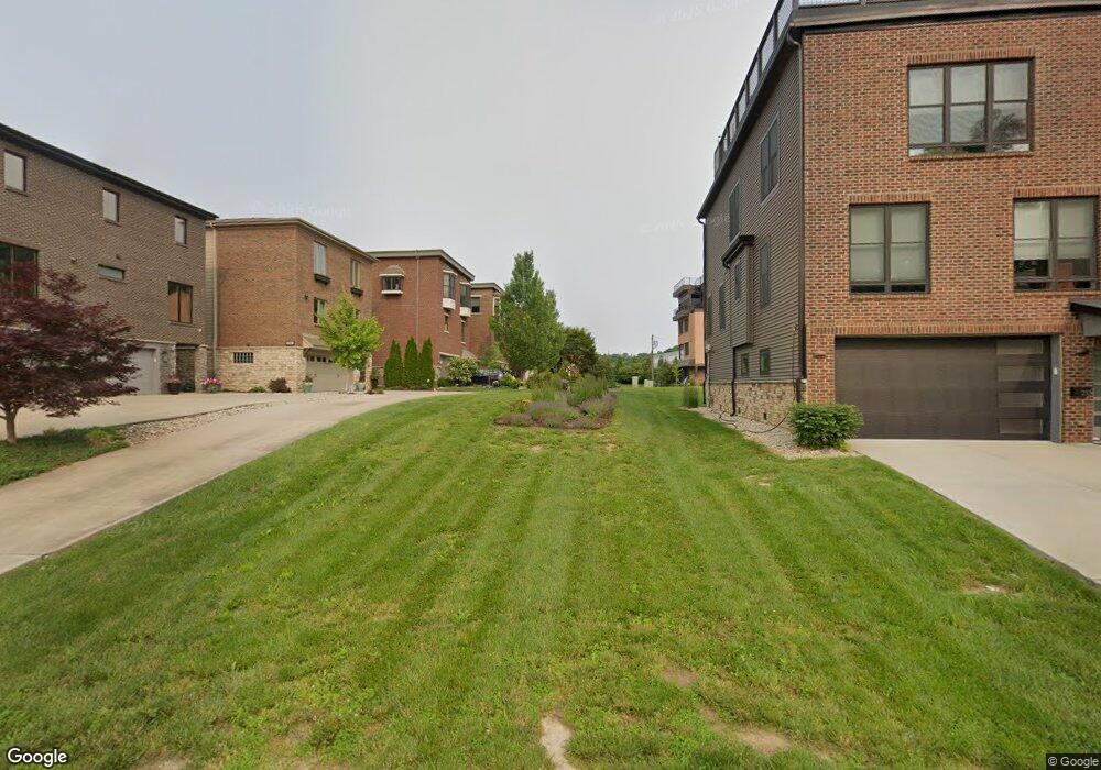
251 Saint Peters St Cincinnati, OH 45226
East End NeighborhoodEstimated Value: $146,841 - $470,000
4
Beds
4
Baths
--
Sq Ft
2,614
Sq Ft Lot
About This Home
This home is located at 251 Saint Peters St, Cincinnati, OH 45226 and is currently estimated at $308,421. 251 Saint Peters St is a home located in Hamilton County with nearby schools including Clark Montessori High School, Withrow University High School, and Robert A. Taft Information Technology High School.
Ownership History
Date
Name
Owned For
Owner Type
Purchase Details
Closed on
Feb 22, 2022
Sold by
Wendi Bukowitz
Bought by
Wendi R Bukowitz Amended Revocable Trust
Current Estimated Value
Purchase Details
Closed on
Dec 7, 2020
Sold by
Bukowitz Wendi
Bought by
Bukowitz Wendi and Stanton Craig
Purchase Details
Closed on
Oct 16, 2020
Sold by
West Philip A
Bought by
Bukowitz Wendi
Purchase Details
Closed on
May 22, 2017
Sold by
Goering Robert A and Fernbach Ruth E
Bought by
West Philip A
Purchase Details
Closed on
Jul 26, 2005
Sold by
Estate Of Paul E Fernbach Sr
Bought by
Fernbach Ruth E
Create a Home Valuation Report for This Property
The Home Valuation Report is an in-depth analysis detailing your home's value as well as a comparison with similar homes in the area
Home Values in the Area
Average Home Value in this Area
Purchase History
| Date | Buyer | Sale Price | Title Company |
|---|---|---|---|
| Wendi R Bukowitz Amended Revocable Trust | -- | Manley Burke Lpa | |
| Bukowitz Wendi | -- | None Available | |
| Bukowitz Wendi | $100,000 | None Available | |
| West Philip A | $10,000 | None Available | |
| Fernbach Ruth E | -- | None Available |
Source: Public Records
Tax History Compared to Growth
Tax History
| Year | Tax Paid | Tax Assessment Tax Assessment Total Assessment is a certain percentage of the fair market value that is determined by local assessors to be the total taxable value of land and additions on the property. | Land | Improvement |
|---|---|---|---|---|
| 2024 | $1,106 | $17,504 | $17,504 | -- |
| 2023 | $1,108 | $17,504 | $17,504 | $0 |
| 2022 | $825 | $11,732 | $11,732 | $0 |
| 2021 | $812 | $11,732 | $11,732 | $0 |
| 2020 | $814 | $11,732 | $11,732 | $0 |
| 2019 | $791 | $10,290 | $10,290 | $0 |
| 2018 | $792 | $10,290 | $10,290 | $0 |
| 2017 | $762 | $10,290 | $10,290 | $0 |
| 2016 | $270 | $3,500 | $3,500 | $0 |
| 2015 | $242 | $3,500 | $3,500 | $0 |
| 2014 | $243 | $3,500 | $3,500 | $0 |
| 2013 | $242 | $3,430 | $3,430 | $0 |
Source: Public Records
Map
Nearby Homes
- 2902 Corbin Park Ct
- 3219 Riverside Dr
- 3089 Walworth Ave Unit Lot 4
- 3095 Walworth Ave
- 2734 Hoff Ave
- 260 Watson St
- 3214 Walworth Ave
- 3206 Columbia Pkwy
- 259 Strader Ave
- 261 Strader Ave
- 263 Strader Ave
- 265 Strader Ave
- 267 Strader Ave
- 269 Strader Ave
- 271 Strader Ave
- 3412 Golden Ave
- 226 Worth St
- 3435 Golden Ave
- 1031 E Rookwood Dr
- 3441 Wool St
- L Saint Peters St
- 253 Saint Peters St
- 249 Saint Peters St
- 247 Saint Peters St
- 2908 Corbin Park Ct Unit Lt 5
- 2908 Corbin Park Ct
- 2904 Corbin Park Ct Unit Lt 7
- 2904 Corbin Park Ct
- 2907 Corbin Park Ct
- 2905 Corbin Park Ct
- 2906 Corbin Park Ct Unit Lt 6
- 2906 Corbin Park Ct
- 2908* Corbin Park Ct
- 2903 Corbin Park Ct
- 2929 Riverside Dr
- 2917 Riverside Dr
- 2902 Corbin Park Ct Unit Lt 8
- 2927 Riverside Dr
- 2915 Riverside Dr
- 2901 Corbin Park Ct