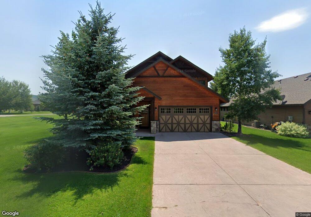
251 Swallow Tail Dr Victor, ID 83455
Estimated Value: $748,000 - $898,000
3
Beds
3
Baths
1,975
Sq Ft
$433/Sq Ft
Est. Value
About This Home
This home is located at 251 Swallow Tail Dr, Victor, ID 83455 and is currently estimated at $854,253, approximately $432 per square foot. 251 Swallow Tail Dr is a home located in Teton County with nearby schools including Driggs Elementary School, Teton High School, and The Learning Academy of Teton Valley.
Ownership History
Date
Name
Owned For
Owner Type
Purchase Details
Closed on
Apr 4, 2025
Sold by
Clinton John C and Clinton Julie A
Bought by
John And Julie Clinton Living Trust and Clinton
Current Estimated Value
Purchase Details
Closed on
Jul 31, 2024
Sold by
Bogard Family Trust and Bogard Carroll Allen
Bought by
Katherine Lynne Sugden Living Trust and Kline
Purchase Details
Closed on
Sep 28, 2017
Sold by
Horst Ronald L and Horst Marina E
Bought by
Bogard Carroll A and Bogard Elizabeth A
Home Financials for this Owner
Home Financials are based on the most recent Mortgage that was taken out on this home.
Original Mortgage
$190,000
Interest Rate
3.89%
Mortgage Type
New Conventional
Create a Home Valuation Report for This Property
The Home Valuation Report is an in-depth analysis detailing your home's value as well as a comparison with similar homes in the area
Home Values in the Area
Average Home Value in this Area
Purchase History
| Date | Buyer | Sale Price | Title Company |
|---|---|---|---|
| John And Julie Clinton Living Trust | -- | Alliance Title | |
| Katherine Lynne Sugden Living Trust | -- | Alliance Title | |
| Bogard Carroll A | $240,000 | Alliance Title - Driggs Offi |
Source: Public Records
Mortgage History
| Date | Status | Borrower | Loan Amount |
|---|---|---|---|
| Previous Owner | Bogard Carroll A | $190,000 |
Source: Public Records
Tax History Compared to Growth
Tax History
| Year | Tax Paid | Tax Assessment Tax Assessment Total Assessment is a certain percentage of the fair market value that is determined by local assessors to be the total taxable value of land and additions on the property. | Land | Improvement |
|---|---|---|---|---|
| 2025 | $2,166 | $806,893 | $80,000 | $726,893 |
| 2024 | $2,166 | $796,893 | $70,000 | $726,893 |
| 2023 | $2,166 | $723,684 | $60,000 | $663,684 |
| 2022 | $2,139 | $627,248 | $50,000 | $577,248 |
| 2021 | $3,112 | $456,460 | $15,000 | $441,460 |
| 2020 | $3,140 | $376,610 | $15,000 | $361,610 |
| 2019 | $3,080 | $376,610 | $15,000 | $361,610 |
| 2018 | $2,947 | $332,177 | $15,000 | $317,177 |
| 2017 | $2,675 | $332,177 | $15,000 | $317,177 |
| 2016 | $2,590 | $297,478 | $15,000 | $282,478 |
| 2015 | $2,512 | $249,292 | $15,000 | $234,292 |
| 2011 | -- | $10,000 | $10,000 | $0 |
Source: Public Records
Map
Nearby Homes
- 282 Harris Hawk Dr
- 146 Swallowtail
- 2 Bison Dr
- 443 Royal Elk Cir
- 623 Royal Elk Cir
- 5316 S 500 W
- 555 Silver Fox Ln
- 5335 Fox Creek Hollow Rd
- 6688 L30 Fox Meadows Dr
- 6688 Fox Meadows Dr
- 5459 S 1000 W
- 5171 Fox Creek Hollow Rd
- 408 Serviceberry Rd
- 6477 Trumpet Swan Cir
- 6503 Black Swan Cir
- 5014 S 400 W
- 6289 Fox Meadows Dr
- 615 Thistle Creek Dr
- 608 Thistle Creek Dr
- 179 Reed Rd
- 251&201 Swallowtail Dr
- 251 Swallowtail
- 261 Swallowtail
- 261 Swallow Tail Dr
- 281 Swallowtail
- 252 Harris Hawk Dr
- 262 Harris Hawk Dr
- 256 Swallowtail
- 266 Swallowtail
- 246 Swallowtail
- 276 Swallowtail
- 206 Swallowtail
- 236 Swallowtail
- 286 Swallowtail
- 226 Swallowtail
- 196 Swallowtail
- 003 Swallowtail Dr
- 292 Harris Hawk Dr
- 296 Swallowtail
- 321 Swallowtail