251 W Main Rd Little Compton, RI 02837
Estimated Value: $2,319,000 - $4,319,000
3
Beds
4
Baths
3,548
Sq Ft
$865/Sq Ft
Est. Value
About This Home
This home is located at 251 W Main Rd, Little Compton, RI 02837 and is currently estimated at $3,067,795, approximately $864 per square foot. 251 W Main Rd is a home located in Newport County with nearby schools including Wilbur & McMahon School.
Ownership History
Date
Name
Owned For
Owner Type
Purchase Details
Closed on
Mar 1, 2017
Sold by
Sedgwick Donna R
Bought by
Donna R Sedgwick Rt
Current Estimated Value
Purchase Details
Closed on
Sep 29, 2016
Sold by
Sedgwick Donna R
Bought by
Carolyn C Sedgwick T
Purchase Details
Closed on
Apr 12, 1996
Sold by
Taylor Donna and Scarborough Jocelyn B
Bought by
Sedgwick Philip F and Sedgwick Donna
Home Financials for this Owner
Home Financials are based on the most recent Mortgage that was taken out on this home.
Original Mortgage
$472,000
Interest Rate
7.39%
Create a Home Valuation Report for This Property
The Home Valuation Report is an in-depth analysis detailing your home's value as well as a comparison with similar homes in the area
Home Values in the Area
Average Home Value in this Area
Purchase History
| Date | Buyer | Sale Price | Title Company |
|---|---|---|---|
| Donna R Sedgwick Rt | -- | -- | |
| Carolyn C Sedgwick T | -- | -- | |
| Sedgwick Philip F | $590,000 | -- |
Source: Public Records
Mortgage History
| Date | Status | Borrower | Loan Amount |
|---|---|---|---|
| Previous Owner | Sedgwick Philip F | $275,000 | |
| Previous Owner | Sedgwick Philip F | $102,000 | |
| Previous Owner | Sedgwick Philip F | $472,000 |
Source: Public Records
Tax History
| Year | Tax Paid | Tax Assessment Tax Assessment Total Assessment is a certain percentage of the fair market value that is determined by local assessors to be the total taxable value of land and additions on the property. | Land | Improvement |
|---|---|---|---|---|
| 2025 | $15,239 | $3,181,500 | $2,533,900 | $647,600 |
| 2024 | $14,385 | $2,831,700 | $2,225,600 | $606,100 |
| 2023 | $14,045 | $2,831,700 | $2,225,600 | $606,100 |
| 2022 | $13,875 | $2,831,700 | $2,225,600 | $606,100 |
| 2021 | $13,918 | $2,304,300 | $1,785,400 | $518,900 |
| 2020 | $13,803 | $2,304,300 | $1,785,400 | $518,900 |
| 2019 | $13,664 | $2,304,300 | $1,785,400 | $518,900 |
| 2018 | $12,925 | $2,168,700 | $1,785,400 | $383,300 |
| 2016 | $12,222 | $2,155,500 | $1,785,400 | $370,100 |
| 2015 | $11,108 | $1,931,800 | $1,504,300 | $427,500 |
| 2014 | $10,895 | $1,931,800 | $1,504,300 | $427,500 |
Source: Public Records
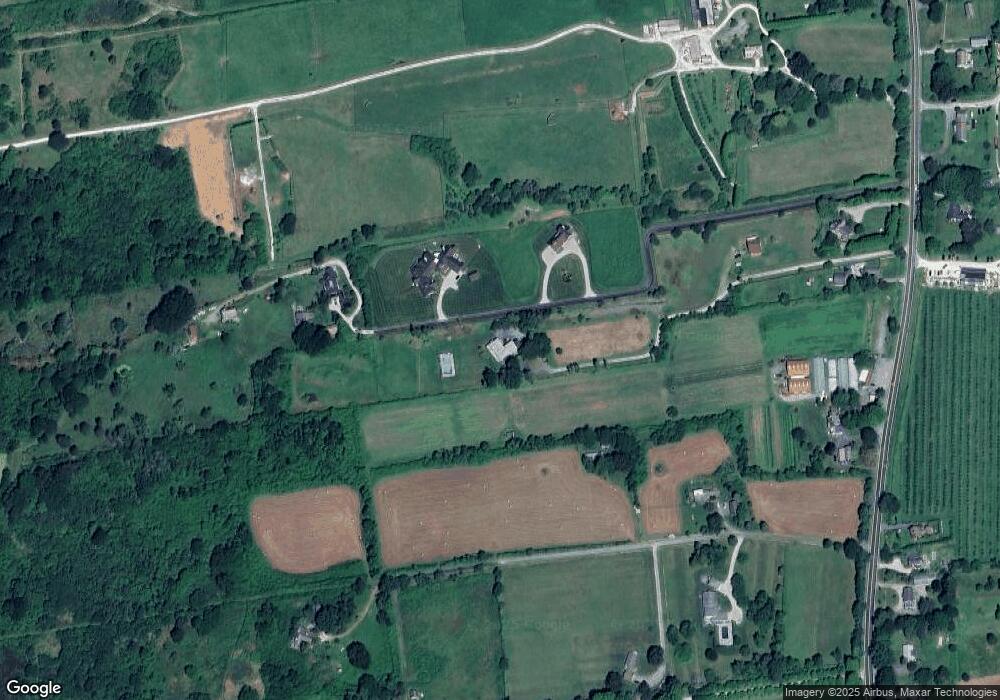
Map
Nearby Homes
- 269 W Main Rd
- 247C W Main Rd
- 247A W Main Rd
- 247 W Main Rd
- 247B W Main Rd
- 8 Brown Point Ln
- 6 Brown Point Ln
- 10 Brown Point Ln
- 20 Brown Point Ln
- 249 W Main Rd
- 253 W Main Rd
- 18 Brown Point Ln
- 285 W Main Rd
- 15 Sherer Cove
- 270 W Main Rd
- 276 W Main Rd
- 268 W Main Rd
- 291 W Main Rd
- 250 W Main Rd
- 21 Sherer Cove
Your Personal Tour Guide
Ask me questions while you tour the home.