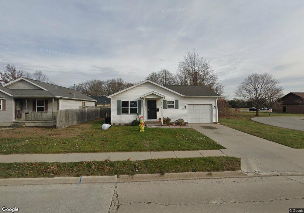
2510 16th St Port Huron, MI 48060
Estimated Value: $143,000 - $156,000
3
Beds
1
Bath
1,040
Sq Ft
$144/Sq Ft
Est. Value
About This Home
This home is located at 2510 16th St, Port Huron, MI 48060 and is currently estimated at $149,950, approximately $144 per square foot. 2510 16th St is a home located in St. Clair County with nearby schools including Michigamme Elementary School, Central Middle School, and Port Huron High School.
Ownership History
Date
Name
Owned For
Owner Type
Purchase Details
Closed on
Jun 26, 2019
Sold by
Anthony F Richards Living Trust
Bought by
Nelson Woodrow C and Nelson Penny N
Current Estimated Value
Purchase Details
Closed on
Jun 3, 2019
Sold by
Richards Trust
Bought by
Nelson Trust
Purchase Details
Closed on
May 15, 2014
Sold by
Richards Anthony F and Richards Althea D
Bought by
Anthony F Richards Living Trust
Purchase Details
Closed on
Jun 1, 2008
Sold by
Oldham Jacqueline M
Bought by
Richards Anthony F and Richards Althea D
Purchase Details
Closed on
Jul 1, 2006
Sold by
Richards Anthony F and Richards Althea D
Bought by
Oldham Jacqueline M
Create a Home Valuation Report for This Property
The Home Valuation Report is an in-depth analysis detailing your home's value as well as a comparison with similar homes in the area
Home Values in the Area
Average Home Value in this Area
Purchase History
| Date | Buyer | Sale Price | Title Company |
|---|---|---|---|
| Nelson Trust | -- | None Available | |
| Anthony F Richards Living Trust | -- | None Available | |
| Richards Anthony F | -- | None Available | |
| Oldham Jacqueline M | -- | None Available | |
| Nelson Woodrow C | -- | None Listed On Document |
Source: Public Records
Tax History Compared to Growth
Tax History
| Year | Tax Paid | Tax Assessment Tax Assessment Total Assessment is a certain percentage of the fair market value that is determined by local assessors to be the total taxable value of land and additions on the property. | Land | Improvement |
|---|---|---|---|---|
| 2025 | $2,370 | $65,200 | $0 | $0 |
| 2024 | $2,083 | $61,800 | $0 | $0 |
| 2023 | $1,972 | $55,200 | $0 | $0 |
| 2022 | $1,981 | $51,100 | $0 | $0 |
| 2021 | $1,892 | $44,200 | $0 | $0 |
| 2020 | $1,899 | $38,700 | $38,700 | $0 |
| 2019 | $1,865 | $27,300 | $0 | $0 |
| 2018 | $1,823 | $27,300 | $0 | $0 |
| 2017 | $1,562 | $25,800 | $0 | $0 |
| 2016 | $1,389 | $25,800 | $0 | $0 |
| 2015 | $1,427 | $25,800 | $25,800 | $0 |
| 2014 | $1,427 | $26,500 | $26,500 | $0 |
| 2013 | -- | $28,100 | $0 | $0 |
Source: Public Records
Map
Nearby Homes
- 1414 Beard St
- 1403 Catherine McAuley Dr
- 2718 Electric Ave
- 2710 Electric Ave
- 2815 Military St
- 2411 10th St
- 1319 Minnie St
- 2704 Military St
- 2724 Military St
- 9999 24th St
- Lot 3 24th St
- 1322 Division St
- 2203 VL Railroad St
- 2200 VL Railroad St
- 2627 24th St
- 1325 Division St
- 1112 Minnie St
- 1309 Division St
- 2977 Military St
- 1127 Minnie St
- 2504 16th St
- 1524 Columbus St
- 1516 Columbus St
- 2420 16th St
- 1523 Columbus St
- 2540 16th St
- 1508 Columbus St
- 1500 Columbus St
- 1534 Beard St
- 1522 Beard St
- 2400 16th St Unit 2414
- 1518 Beard St
- 1508 Beard St
- 1504 Beard St
- 1500 Beard St
- 1500 Beard St Unit 1535
- 1500 Beard St
- 1525 Beard St
- 1521 Beard St
- 1505 Beard St