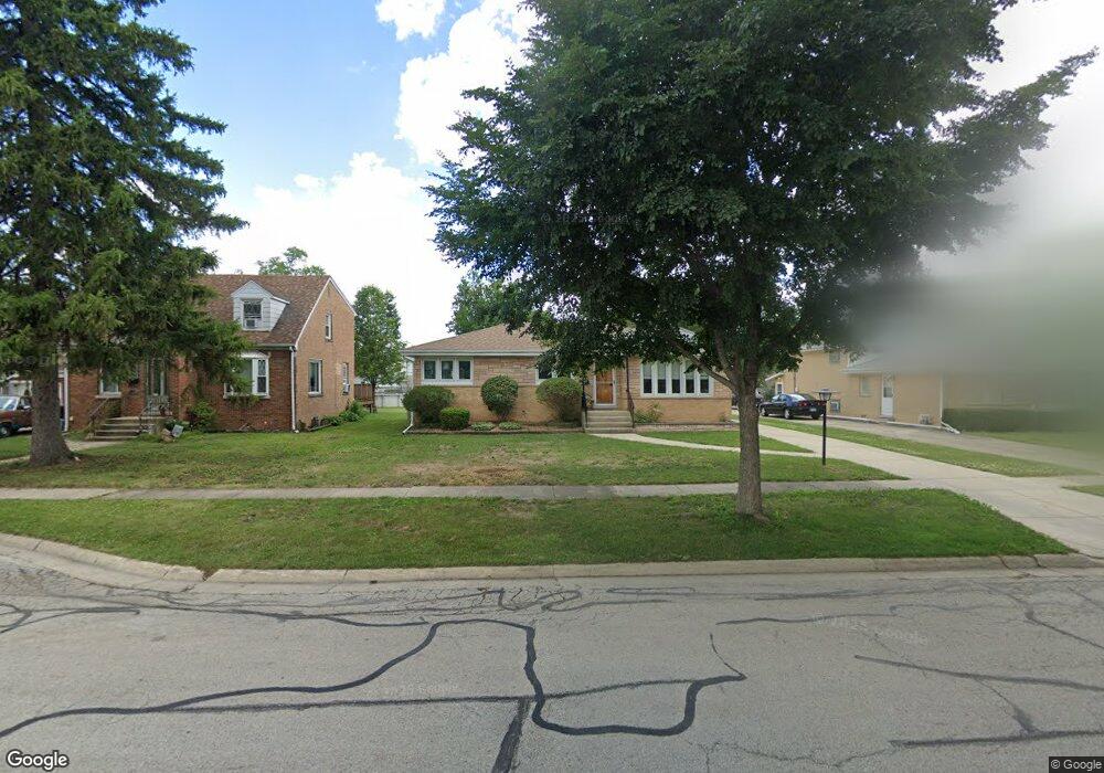
2510 Iris Ln Des Plaines, IL 60018
Estimated Value: $357,000 - $381,473
3
Beds
1
Bath
1,218
Sq Ft
$301/Sq Ft
Est. Value
About This Home
This home is located at 2510 Iris Ln, Des Plaines, IL 60018 and is currently estimated at $366,618, approximately $301 per square foot. 2510 Iris Ln is a home located in Cook County with nearby schools including Orchard Place Elementary School, Algonquin Middle School, and Maine West High School.
Ownership History
Date
Name
Owned For
Owner Type
Purchase Details
Closed on
Jan 23, 2015
Sold by
Zajac Peter
Bought by
Zajac Peter and Zajac Shannon Denise
Current Estimated Value
Purchase Details
Closed on
Jun 10, 1994
Sold by
Zajac Joseph R and Zajac Adeline
Bought by
Zajac Peter
Create a Home Valuation Report for This Property
The Home Valuation Report is an in-depth analysis detailing your home's value as well as a comparison with similar homes in the area
Home Values in the Area
Average Home Value in this Area
Purchase History
We collect this data history from publicly available records. To have your information removed, we recommend requesting removal directly through your county’s website.
| Date | Buyer | Sale Price | Title Company |
|---|---|---|---|
| Zajac Peter | -- | Attorney | |
| Zajac Peter | $229,500 | 1St American Title |
Source: Public Records
Tax History
| Year | Tax Paid | Tax Assessment Tax Assessment Total Assessment is a certain percentage of the fair market value that is determined by local assessors to be the total taxable value of land and additions on the property. | Land | Improvement |
|---|---|---|---|---|
| 2025 | $6,772 | $33,000 | $9,018 | $23,982 |
| 2024 | $6,772 | $29,000 | $7,515 | $21,485 |
| 2023 | $6,582 | $29,000 | $7,515 | $21,485 |
| 2022 | $6,582 | $29,000 | $7,515 | $21,485 |
| 2021 | $6,995 | $26,086 | $6,262 | $19,824 |
| 2020 | $6,946 | $26,086 | $6,262 | $19,824 |
| 2019 | $7,499 | $31,296 | $6,262 | $25,034 |
| 2018 | $5,772 | $22,735 | $5,511 | $17,224 |
| 2017 | $5,688 | $22,735 | $5,511 | $17,224 |
| 2016 | $5,624 | $22,735 | $5,511 | $17,224 |
| 2015 | $5,617 | $21,204 | $4,759 | $16,445 |
| 2014 | $5,515 | $21,204 | $4,759 | $16,445 |
| 2013 | $5,360 | $21,204 | $4,759 | $16,445 |
Source: Public Records
Map
Nearby Homes
- 2469 Parkwood Ln
- 2664 S Craig Dr
- 2659 Eisenhower Dr
- 38 E Touhy Ave
- 2067 Sherwin Ave
- 2646 Maple St
- 1789 Farwell Ave
- 1757 Farwell Ave
- 1641 E Touhy Ave
- 1629 E Touhy Ave
- 2993 Curtis St Unit 13
- 1738 Lunt Ave
- 44 Park Ln Unit 223
- 22 Park Ln Unit 404
- 22 Park Ln Unit 204
- 75 Boardwalk Place Unit 203
- 500 Thames Pkwy Unit 1F
- 2500 Archbury Ln Unit 1A
- 111 Murphy Lake Rd
- 400 Ascot Dr Unit 1M
Your Personal Tour Guide
Ask me questions while you tour the home.