2510 SE Ammon Rd Toledo, OR 97391
Estimated Value: $556,000 - $1,050,000
4
Beds
3
Baths
2,400
Sq Ft
$342/Sq Ft
Est. Value
About This Home
This home is located at 2510 SE Ammon Rd, Toledo, OR 97391 and is currently estimated at $821,126, approximately $342 per square foot. 2510 SE Ammon Rd is a home located in Lincoln County with nearby schools including Toledo Elementary School and Toledo Junior/Senior High School.
Ownership History
Date
Name
Owned For
Owner Type
Purchase Details
Closed on
Jul 27, 2012
Sold by
Swinea Robert W and Maccarone Cheryl M
Bought by
Henderson Bambie L and Henderson Walter R
Current Estimated Value
Home Financials for this Owner
Home Financials are based on the most recent Mortgage that was taken out on this home.
Original Mortgage
$379,050
Outstanding Balance
$262,341
Interest Rate
3.65%
Mortgage Type
New Conventional
Estimated Equity
$558,785
Purchase Details
Closed on
Feb 13, 2008
Sold by
Howard David John and Howard Tami Lea
Bought by
Swinea Robert W and Maccarone Cheryl M
Home Financials for this Owner
Home Financials are based on the most recent Mortgage that was taken out on this home.
Original Mortgage
$67,350
Interest Rate
5.64%
Mortgage Type
Stand Alone Second
Create a Home Valuation Report for This Property
The Home Valuation Report is an in-depth analysis detailing your home's value as well as a comparison with similar homes in the area
Home Values in the Area
Average Home Value in this Area
Purchase History
| Date | Buyer | Sale Price | Title Company |
|---|---|---|---|
| Henderson Bambie L | $399,000 | Western Title & Escrow | |
| Swinea Robert W | $449,000 | First American Title Ins Co |
Source: Public Records
Mortgage History
| Date | Status | Borrower | Loan Amount |
|---|---|---|---|
| Open | Henderson Bambie L | $379,050 | |
| Previous Owner | Swinea Robert W | $67,350 | |
| Previous Owner | Swinea Robert W | $359,200 |
Source: Public Records
Tax History Compared to Growth
Tax History
| Year | Tax Paid | Tax Assessment Tax Assessment Total Assessment is a certain percentage of the fair market value that is determined by local assessors to be the total taxable value of land and additions on the property. | Land | Improvement |
|---|---|---|---|---|
| 2024 | $4,213 | $352,700 | -- | -- |
| 2023 | $4,080 | $342,430 | $0 | $0 |
| 2022 | $3,955 | $332,460 | $0 | $0 |
| 2021 | $3,857 | $322,780 | $0 | $0 |
| 2020 | $3,783 | $313,380 | $0 | $0 |
| 2019 | $3,631 | $304,260 | $0 | $0 |
| 2018 | $3,568 | $295,400 | $0 | $0 |
| 2017 | $3,458 | $286,800 | $0 | $0 |
| 2016 | $3,149 | $278,450 | $0 | $0 |
| 2015 | $3,060 | $270,340 | $0 | $0 |
| 2014 | $2,979 | $262,470 | $0 | $0 |
| 2013 | -- | $254,830 | $0 | $0 |
Source: Public Records
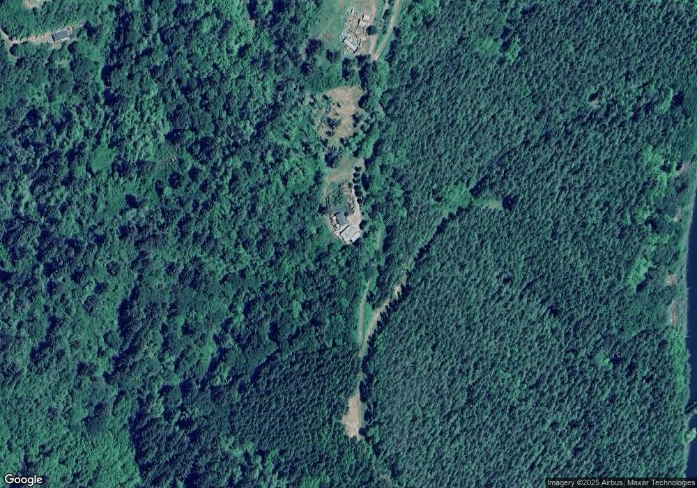
Map
Nearby Homes
- 2025 SE Alder Lane Dr
- 1651 SE Ammon Rd
- 1901 SE Kauri St
- 2009 SE Donelle Dr
- 811 SE 7th Place
- 763 SE 7th St
- 646 SE 8th St
- 749 SE 2nd St
- 492 SE 3rd St
- 0 Elk City Rd
- 380 E Graham St
- 330 S Bay Rd
- 662 NE 8th Place
- 193 E Graham St
- 254 NE 3rd St
- 935 NE Highway 20
- 231 NE 6th St
- 936 NE Highway 20
- 163 NE 6th St
- 146 NE 6th St
- 2300 SE Ammon Rd
- 2085 SE Alder Lane Dr
- 2261 SE Ammon Rd
- 2259 SE Ammon Rd
- 2115 SE Alder Lane Dr
- 1986 SE Alder Lane Dr
- 1931 SE Alder Lane Dr
- 2195 SE Ammon Rd
- 1236 SE Pine St
- 1911 SE Alder Lane Dr
- 1725 SE 16th Place
- 1944 SE Alder Lane Dr
- 2220 SE Ammon Rd
- 1922 SE Alder Lane Dr
- 1239 SE Pine St
- 2180 SE Ammon Rd
- 2280 SE Ammon Rd
- 1233 SE Pine St
- 2050 SE Ammon Rd
- 1660 SE 16th Place