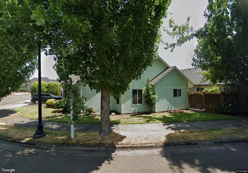
2510 Tracy Ln Woodburn, OR 97071
Estimated Value: $381,471 - $481,000
2
Beds
2
Baths
1,294
Sq Ft
$338/Sq Ft
Est. Value
About This Home
This home is located at 2510 Tracy Ln, Woodburn, OR 97071 and is currently estimated at $437,868, approximately $338 per square foot. 2510 Tracy Ln is a home located in Marion County with nearby schools including Lincoln Elementary School, French Prairie Middle School, and Woodburn Arthur Academy.
Ownership History
Date
Name
Owned For
Owner Type
Purchase Details
Closed on
Nov 16, 2016
Sold by
Wheelock Michael D and Wheelock Gina
Bought by
Cavanaugh Patricia
Current Estimated Value
Home Financials for this Owner
Home Financials are based on the most recent Mortgage that was taken out on this home.
Original Mortgage
$215,910
Outstanding Balance
$173,338
Interest Rate
3.42%
Mortgage Type
New Conventional
Estimated Equity
$264,530
Purchase Details
Closed on
Jan 21, 2016
Sold by
Johnson Kathy L and Deboard Darrell D
Bought by
Michael & Gina Wheelock Living Trust
Purchase Details
Closed on
Nov 2, 2006
Sold by
Deboard Valene D
Bought by
Johnson Kathy L and Deboard Darrell D
Purchase Details
Closed on
Mar 22, 2006
Sold by
Deboard Darrell D
Bought by
Deboard Valene D
Purchase Details
Closed on
Aug 29, 2005
Sold by
Joy Vanderwey Llc
Bought by
Deboard Darrell D and Deboard Pennie K
Create a Home Valuation Report for This Property
The Home Valuation Report is an in-depth analysis detailing your home's value as well as a comparison with similar homes in the area
Home Values in the Area
Average Home Value in this Area
Purchase History
| Date | Buyer | Sale Price | Title Company |
|---|---|---|---|
| Cavanaugh Patricia | $239,900 | Ticor Title Company Of Or | |
| Michael & Gina Wheelock Living Trust | $232,600 | First American | |
| Johnson Kathy L | -- | None Available | |
| Deboard Valene D | $198,900 | Accommodation | |
| Deboard Darrell D | $198,900 | Multiple |
Source: Public Records
Mortgage History
| Date | Status | Borrower | Loan Amount |
|---|---|---|---|
| Open | Cavanaugh Patricia | $215,910 |
Source: Public Records
Tax History Compared to Growth
Tax History
| Year | Tax Paid | Tax Assessment Tax Assessment Total Assessment is a certain percentage of the fair market value that is determined by local assessors to be the total taxable value of land and additions on the property. | Land | Improvement |
|---|---|---|---|---|
| 2024 | $4,657 | $240,870 | -- | -- |
| 2023 | $4,627 | $233,860 | $0 | $0 |
| 2022 | $4,383 | $227,050 | $0 | $0 |
| 2021 | $4,255 | $220,440 | $0 | $0 |
| 2020 | $4,128 | $214,020 | $0 | $0 |
| 2019 | $4,014 | $207,790 | $0 | $0 |
| 2018 | $3,929 | $0 | $0 | $0 |
| 2017 | $3,816 | $0 | $0 | $0 |
| 2016 | $3,702 | $0 | $0 | $0 |
| 2015 | $3,592 | $0 | $0 | $0 |
| 2014 | $3,373 | $0 | $0 | $0 |
Source: Public Records
Map
Nearby Homes
- 2386 Miller Farm Rd
- 2596 Jamestown St
- 1055 Tukwila Dr
- 2578 Concord St
- 854 Hazelnut Dr
- 2303 Miller Farm Rd
- 1273 Constitution Ave
- 2511 Patriot St
- 1126 Goose Creek Rd
- 2575 Boston St
- 791 Tukwila Dr
- 2787 Hazelnut Dr
- 2815 Hazelnut Dr
- 2515 Roanoke St
- 2803 Revere St
- 1191 Parkside Ave
- 1211 Parkside Ave
- 1102 Parkside Ave
- 1281 Parkside Ave
- 1435 Country Club Cir