25109 Maxfield Creek Rd Monmouth, OR 97361
Estimated Value: $591,000
3
Beds
1
Bath
864
Sq Ft
$684/Sq Ft
Est. Value
About This Home
This home is located at 25109 Maxfield Creek Rd, Monmouth, OR 97361 and is currently estimated at $591,000, approximately $684 per square foot. 25109 Maxfield Creek Rd is a home located in Benton County with nearby schools including Monmouth Elementary School, Talmadge Middle School, and Central High School.
Ownership History
Date
Name
Owned For
Owner Type
Purchase Details
Closed on
May 8, 2001
Sold by
Claire Margaret Ann and Goodmonson Paul N
Bought by
Molloy Brian and Molloy Vanita
Current Estimated Value
Home Financials for this Owner
Home Financials are based on the most recent Mortgage that was taken out on this home.
Original Mortgage
$137,050
Outstanding Balance
$49,418
Interest Rate
6.89%
Estimated Equity
$541,582
Create a Home Valuation Report for This Property
The Home Valuation Report is an in-depth analysis detailing your home's value as well as a comparison with similar homes in the area
Home Values in the Area
Average Home Value in this Area
Purchase History
| Date | Buyer | Sale Price | Title Company |
|---|---|---|---|
| Molloy Brian | $144,300 | Amerititle |
Source: Public Records
Mortgage History
| Date | Status | Borrower | Loan Amount |
|---|---|---|---|
| Open | Molloy Brian | $137,050 |
Source: Public Records
Tax History Compared to Growth
Tax History
| Year | Tax Paid | Tax Assessment Tax Assessment Total Assessment is a certain percentage of the fair market value that is determined by local assessors to be the total taxable value of land and additions on the property. | Land | Improvement |
|---|---|---|---|---|
| 2025 | $1,682 | $116,548 | -- | -- |
| 2024 | $1,682 | $113,156 | -- | -- |
| 2023 | $1,779 | $109,857 | $0 | $0 |
| 2022 | $1,597 | $106,660 | $0 | $0 |
| 2021 | $1,575 | $103,554 | $0 | $0 |
| 2020 | $31 | $2,480 | $0 | $0 |
| 2019 | $1,446 | $2,408 | $0 | $0 |
| 2018 | $1,451 | $94,766 | $0 | $0 |
| 2017 | $1,378 | $87,552 | $0 | $0 |
| 2016 | $1,327 | $82,371 | $0 | $0 |
| 2015 | -- | $83,061 | $0 | $0 |
| 2014 | -- | $81,943 | $0 | $0 |
Source: Public Records
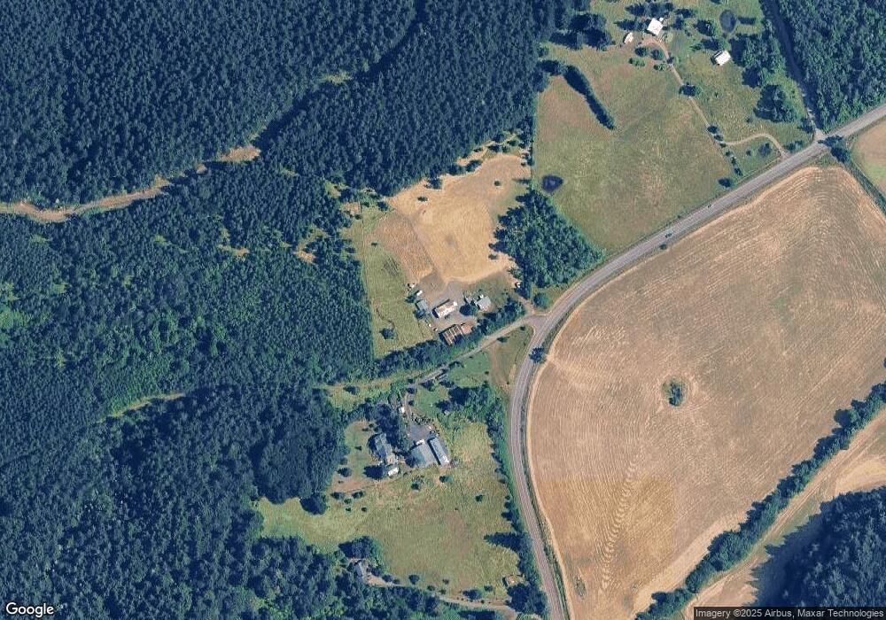
Map
Nearby Homes
- 0 Price Creek Rd
- 12676 Kings Valley Hwy
- 12621 Meadow Lane Rd
- 12700 Maxfield Creek Rd
- 23380 Hoskins Rd
- 0 Airlie Rd
- 14060 Simpson Rd
- 000 Kings Valley Hwy
- 37524 NW Soap Creek Rd
- 37524 Soap Creek Rd
- 0 Next To Airlie Rd Unit 220204700
- 0 Next To Airlie Rd Unit 830692
- 11090 Simpson Rd
- 6090 NW Rosewood Dr
- 16000 Airlie Rd
- 2790 NW Sulphur Springs Rd