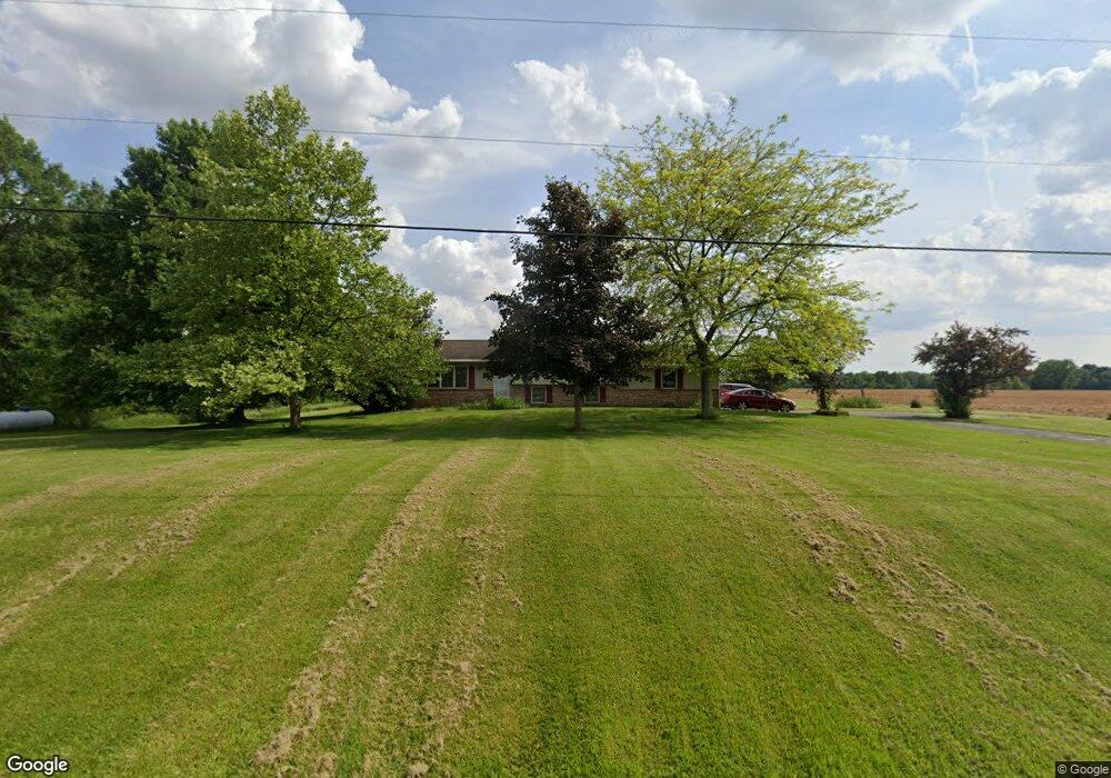
2511 County Highway 182 Nevada, OH 44849
Estimated Value: $180,000 - $299,000
3
Beds
2
Baths
1,254
Sq Ft
$186/Sq Ft
Est. Value
About This Home
This home is located at 2511 County Highway 182, Nevada, OH 44849 and is currently estimated at $233,486, approximately $186 per square foot. 2511 County Highway 182 is a home located in Wyandot County with nearby schools including Wynford Elementary School and Wynford High School.
Ownership History
Date
Name
Owned For
Owner Type
Purchase Details
Closed on
Jul 3, 2015
Sold by
Gaster Krishna and Shroll Kristina
Bought by
Schrolucke Dorothy L
Current Estimated Value
Purchase Details
Closed on
Apr 11, 2013
Sold by
Gaster Michael
Bought by
Gaster Kristina
Purchase Details
Closed on
Aug 18, 2009
Sold by
Eibling Jason L and Eibling Sherrie A
Bought by
Gaster Michael and Gaster Kristina
Home Financials for this Owner
Home Financials are based on the most recent Mortgage that was taken out on this home.
Original Mortgage
$162,993
Interest Rate
5.28%
Mortgage Type
FHA
Create a Home Valuation Report for This Property
The Home Valuation Report is an in-depth analysis detailing your home's value as well as a comparison with similar homes in the area
Home Values in the Area
Average Home Value in this Area
Purchase History
| Date | Buyer | Sale Price | Title Company |
|---|---|---|---|
| Schrolucke Dorothy L | $185,000 | None Available | |
| Gaster Kristina | -- | None Available | |
| Gaster Michael | $166,000 | None Available |
Source: Public Records
Mortgage History
| Date | Status | Borrower | Loan Amount |
|---|---|---|---|
| Previous Owner | Gaster Michael | $162,993 |
Source: Public Records
Tax History Compared to Growth
Tax History
| Year | Tax Paid | Tax Assessment Tax Assessment Total Assessment is a certain percentage of the fair market value that is determined by local assessors to be the total taxable value of land and additions on the property. | Land | Improvement |
|---|---|---|---|---|
| 2024 | $2,000 | $58,300 | $5,080 | $53,220 |
| 2023 | $2,000 | $58,300 | $5,080 | $53,220 |
| 2022 | $2,284 | $53,180 | $4,620 | $48,560 |
| 2021 | $2,206 | $53,180 | $4,620 | $48,560 |
| 2020 | $2,164 | $53,180 | $4,620 | $48,560 |
| 2019 | $2,169 | $53,180 | $4,620 | $48,560 |
| 2018 | $2,201 | $53,240 | $4,030 | $49,210 |
| 2017 | $2,194 | $53,240 | $4,030 | $49,210 |
| 2016 | $1,781 | $53,240 | $4,030 | $49,210 |
| 2015 | -- | $51,430 | $4,030 | $47,400 |
| 2014 | -- | $51,430 | $4,030 | $47,400 |
| 2013 | -- | $51,430 | $4,030 | $47,400 |
Source: Public Records
Map
Nearby Homes
- 405 N Main St
- 5506 Brookview Ln
- 0 E Wyandot Ave
- 4432 Marion Melmore Rd
- 109 Duck Pond Rd
- 210 Duck Pond Rd
- 212 Duck Pond Rd
- 101 Rivers Edge Ln
- 1773 Marion-Melmore Rd
- 7160 County Highway 47
- 109 Rivers Edge Ln Unit C
- 123 Rivers Edge Ln
- 435 Front St
- 955 Greenbrier Rd
- 900 Kimmel Ct
- 987 Greenbrier Rd Unit 101
- 620 Mission Dr
- 487 N 4th St
- 334 N 4th St
- 222 E Bigelow St
- 2511 County Highway 182
- 11640 Township Highway 133
- 11700 Township Highway 133
- 11507 Township Highway 133
- 11870 Township Highway 133
- 2821 County Highway 182
- 2162 Wyandot County Highway 182
- 11924 Township Highway 133
- 11000 Township Highway 133
- 11930 Township Highway 133
- 11942 Township Highway 133
- 11924 Twp Hwy
- 11951 Township Highway 133
- 12110 Township Highway 133
- 10896 Township Highway 133
- 3137 County Highway 182
- 10850 Township Highway 133
- 10850 Township Highway 133
- 1727 County Highway 182
- 2638 Township Highway 55