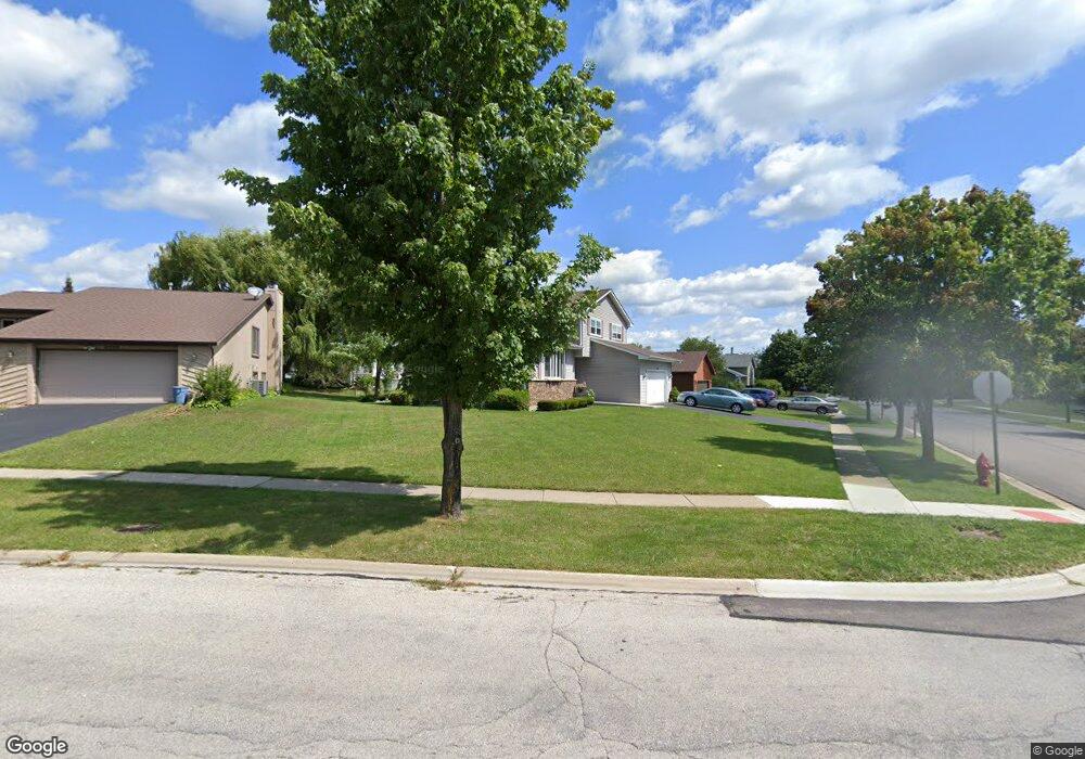
2511 Hamilton Dr Lindenhurst, IL 60046
Estimated Value: $342,000 - $365,520
3
Beds
3
Baths
1,672
Sq Ft
$212/Sq Ft
Est. Value
About This Home
This home is located at 2511 Hamilton Dr, Lindenhurst, IL 60046 and is currently estimated at $354,880, approximately $212 per square foot. 2511 Hamilton Dr is a home located in Lake County with nearby schools including Millburn Elementary School, Millburn Middle School, and Lakes Community High School.
Ownership History
Date
Name
Owned For
Owner Type
Purchase Details
Closed on
Jan 18, 2001
Sold by
Sobota James S and Sobota Lynn M
Bought by
Kuzma David A and Kuzma Suzanne F
Current Estimated Value
Home Financials for this Owner
Home Financials are based on the most recent Mortgage that was taken out on this home.
Original Mortgage
$130,000
Outstanding Balance
$46,433
Interest Rate
7.1%
Estimated Equity
$308,447
Create a Home Valuation Report for This Property
The Home Valuation Report is an in-depth analysis detailing your home's value as well as a comparison with similar homes in the area
Home Values in the Area
Average Home Value in this Area
Purchase History
| Date | Buyer | Sale Price | Title Company |
|---|---|---|---|
| Kuzma David A | $175,000 | -- |
Source: Public Records
Mortgage History
| Date | Status | Borrower | Loan Amount |
|---|---|---|---|
| Open | Kuzma David A | $130,000 |
Source: Public Records
Tax History Compared to Growth
Tax History
| Year | Tax Paid | Tax Assessment Tax Assessment Total Assessment is a certain percentage of the fair market value that is determined by local assessors to be the total taxable value of land and additions on the property. | Land | Improvement |
|---|---|---|---|---|
| 2024 | $8,783 | $97,437 | $14,151 | $83,286 |
| 2023 | $8,915 | $86,090 | $12,503 | $73,587 |
| 2022 | $8,915 | $72,025 | $9,444 | $62,581 |
| 2021 | $8,574 | $66,907 | $8,773 | $58,134 |
| 2020 | $8,778 | $68,437 | $8,973 | $59,464 |
| 2019 | $8,797 | $65,773 | $8,624 | $57,149 |
| 2018 | $8,460 | $67,527 | $14,682 | $52,845 |
| 2017 | $8,206 | $65,726 | $14,290 | $51,436 |
| 2016 | $8,153 | $63,064 | $13,711 | $49,353 |
| 2015 | $7,762 | $58,900 | $12,806 | $46,094 |
| 2014 | $8,282 | $56,859 | $12,866 | $43,993 |
| 2012 | $7,420 | $67,346 | $14,737 | $52,609 |
Source: Public Records
Map
Nearby Homes
- 692 Monroe Dr
- 694 Monroe Dr
- 2726 Providence Ln
- 590 Oxford Ln
- 586 Harvard Ct
- 691 N Autumn Cir
- 527 Northgate Rd Unit 28
- 1896 E Vista Terrace
- 1847 Natures Ct
- 418 Surrey Ln
- 1820 Prairie Ridge Cir
- 812 Auburn Ln
- 422 Northgate Rd
- 19135 W Millburn Rd
- 20215 W Miller Rd
- 807 Wedgewood Ct
- 1650 Natures Way
- 725 Porter Cir
- 705 Porter Cir
- 724 Porter Cir
- 2500 Penn Blvd
- 2521 Hamilton Dr
- 2476 Penn Blvd
- 2518 Hamilton Dr
- 2531 Hamilton Dr
- 2531 Colony Ave
- 2541 Colony Ave
- 768 Penn Blvd
- 2479 Penn Blvd
- 2521 Colony Ave
- 2528 Hamilton Dr
- 751 Penn Blvd
- 2468 Penn Blvd
- 760 Penn Blvd
- 785 Penn Ct
- 2513 Colony Ave
- 752 Colony Ave
- 741 Penn Blvd
- 755 Penn Ct
- 2460 Penn Blvd