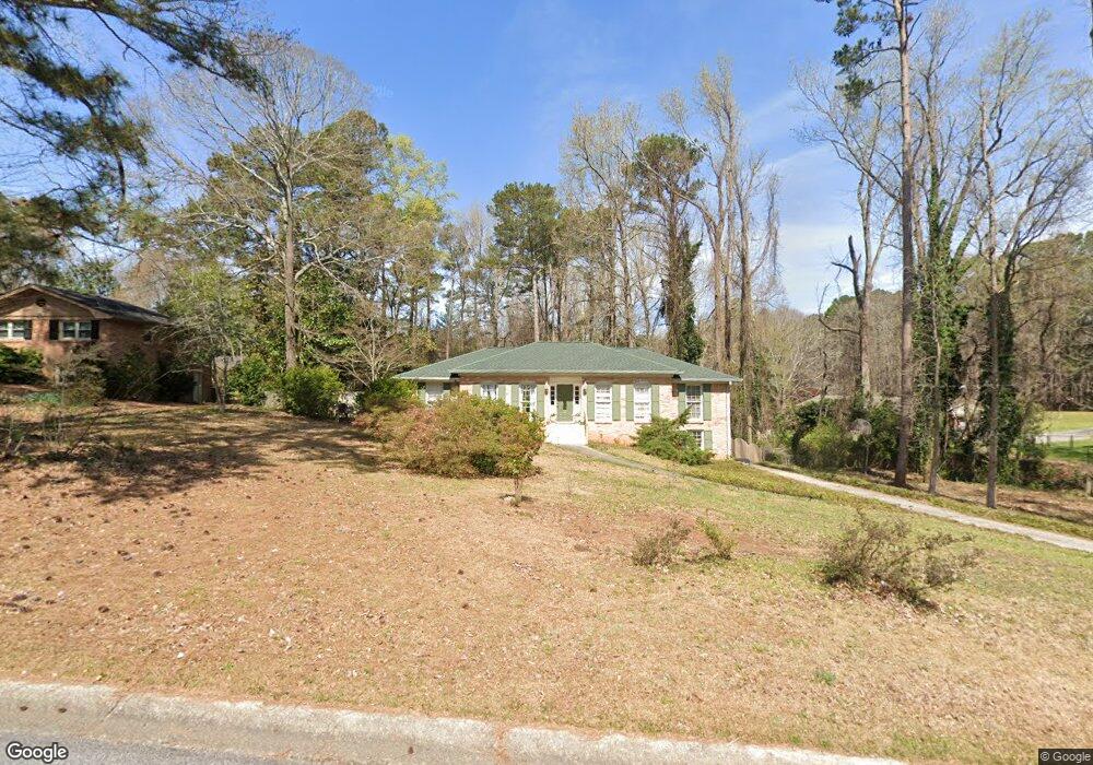
2511 Millbrook Dr Unit 1 Snellville, GA 30078
Estimated Value: $347,151 - $376,000
3
Beds
2
Baths
1,884
Sq Ft
$195/Sq Ft
Est. Value
About This Home
This home is located at 2511 Millbrook Dr Unit 1, Snellville, GA 30078 and is currently estimated at $367,038, approximately $194 per square foot. 2511 Millbrook Dr Unit 1 is a home located in Gwinnett County with nearby schools including Brookwood Elementary School, Alton C. Crews Middle School, and Brookwood High School.
Ownership History
Date
Name
Owned For
Owner Type
Purchase Details
Closed on
Jan 27, 2021
Sold by
Semerdjian Gloria
Bought by
Semerdjian Gloria and Semerdjian Jorge C
Current Estimated Value
Purchase Details
Closed on
Jun 25, 1999
Sold by
Spivey Matthew M and Spivey Jayme L
Bought by
Semerdjian Jorge C and Semerdjian Gloria
Home Financials for this Owner
Home Financials are based on the most recent Mortgage that was taken out on this home.
Original Mortgage
$121,984
Interest Rate
7.27%
Mortgage Type
FHA
Create a Home Valuation Report for This Property
The Home Valuation Report is an in-depth analysis detailing your home's value as well as a comparison with similar homes in the area
Home Values in the Area
Average Home Value in this Area
Purchase History
| Date | Buyer | Sale Price | Title Company |
|---|---|---|---|
| Semerdjian Gloria | -- | -- | |
| Semerdjian Jorge C | $123,000 | -- |
Source: Public Records
Mortgage History
| Date | Status | Borrower | Loan Amount |
|---|---|---|---|
| Previous Owner | Semerdjian Jorge C | $121,984 |
Source: Public Records
Tax History Compared to Growth
Tax History
| Year | Tax Paid | Tax Assessment Tax Assessment Total Assessment is a certain percentage of the fair market value that is determined by local assessors to be the total taxable value of land and additions on the property. | Land | Improvement |
|---|---|---|---|---|
| 2024 | $743 | $134,320 | $26,120 | $108,200 |
| 2023 | $743 | $120,440 | $26,000 | $94,440 |
| 2022 | $743 | $117,560 | $26,000 | $91,560 |
| 2021 | $743 | $89,720 | $18,400 | $71,320 |
| 2020 | $1,189 | $89,720 | $18,400 | $71,320 |
| 2019 | $2,914 | $89,720 | $18,400 | $71,320 |
| 2018 | $2,644 | $79,000 | $16,000 | $63,000 |
| 2016 | $2,101 | $63,280 | $14,400 | $48,880 |
| 2015 | $1,851 | $56,600 | $10,800 | $45,800 |
| 2014 | $1,863 | $56,600 | $10,800 | $45,800 |
Source: Public Records
Map
Nearby Homes
- 2055 Oak Rd
- 2532 Millbrook Dr
- 2031 Hemlock Trail SW
- 2103 Forest Ct
- 1609 Tielman Way
- 3381 Thurgood Ct Unit 6
- 3381 Thurgood Ct
- 3378 Chosen Blvd
- 1619 Tielman Way
- 2166 Tanglewood Dr Unit 1
- 2028 Harbour Oaks Dr
- 2015 Clipper Straits
- 2135 Masonwood Cir SW
- 2845 Long Shadow Ct
- 2141 Slick Stone Dr
- 1952 Colony Oaks Dr
- 2700 Norwich Trace
- 1864 Gloucester Ct
- 2521 Millbrook Dr
- 2065 Oak Rd
- 2075 Oak Rd
- 2075 Oak Rd SW
- 2531 Millbrook Dr
- 2524 Ferndale Ln Unit 1
- 2512 Millbrook Dr
- 2534 Ferndale Ln
- 2534 Ferndale Ln Unit 1
- 2095 Oak Rd
- 2522 Millbrook Dr
- 2045 Oak Rd
- 2544 Ferndale Ln
- 2541 Millbrook Dr
- 0 Ferndale Ln SW Unit 7442318
- 0 Ferndale Ln SW Unit 8689192
- 0 Ferndale Ln SW Unit 8199024
- 0 Ferndale Ln SW Unit 8985660
- 0 Ferndale Ln SW
- 2062 Hemlock Trail