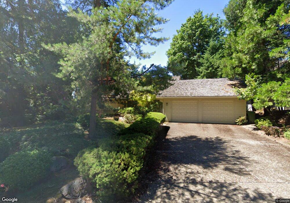
2511 Palisades Crest Dr Lake Oswego, OR 97034
Palisades NeighborhoodEstimated Value: $1,205,000 - $1,347,000
3
Beds
3
Baths
2,913
Sq Ft
$441/Sq Ft
Est. Value
About This Home
This home is located at 2511 Palisades Crest Dr, Lake Oswego, OR 97034 and is currently estimated at $1,283,430, approximately $440 per square foot. 2511 Palisades Crest Dr is a home located in Clackamas County with nearby schools including Lakeridge Middle School, Lakeridge High School, and Chinese American International School.
Ownership History
Date
Name
Owned For
Owner Type
Purchase Details
Closed on
Sep 30, 1996
Sold by
Milner David E and Milner Bonnie J
Bought by
Black Steven W and Black Melissa R
Current Estimated Value
Home Financials for this Owner
Home Financials are based on the most recent Mortgage that was taken out on this home.
Original Mortgage
$347,200
Outstanding Balance
$29,156
Interest Rate
7.95%
Estimated Equity
$1,254,274
Create a Home Valuation Report for This Property
The Home Valuation Report is an in-depth analysis detailing your home's value as well as a comparison with similar homes in the area
Home Values in the Area
Average Home Value in this Area
Purchase History
| Date | Buyer | Sale Price | Title Company |
|---|---|---|---|
| Black Steven W | $444,850 | Chicago Title Insurance Co |
Source: Public Records
Mortgage History
| Date | Status | Borrower | Loan Amount |
|---|---|---|---|
| Open | Black Steven W | $347,200 |
Source: Public Records
Tax History Compared to Growth
Tax History
| Year | Tax Paid | Tax Assessment Tax Assessment Total Assessment is a certain percentage of the fair market value that is determined by local assessors to be the total taxable value of land and additions on the property. | Land | Improvement |
|---|---|---|---|---|
| 2025 | $15,877 | $828,562 | -- | -- |
| 2024 | $15,454 | $804,430 | -- | -- |
| 2023 | $15,454 | $781,000 | $0 | $0 |
| 2022 | $14,555 | $758,253 | $0 | $0 |
| 2021 | $13,441 | $736,168 | $0 | $0 |
| 2020 | $13,104 | $714,727 | $0 | $0 |
| 2019 | $12,782 | $693,910 | $0 | $0 |
| 2018 | $12,154 | $673,699 | $0 | $0 |
| 2017 | $11,728 | $654,077 | $0 | $0 |
| 2016 | $10,675 | $635,026 | $0 | $0 |
| 2015 | $10,314 | $616,530 | $0 | $0 |
| 2014 | $10,087 | $598,573 | $0 | $0 |
Source: Public Records
Map
Nearby Homes
- 17677 Westview Dr
- 2306 Mayors Ln
- 12 Dover Way
- 2627 Park Rd
- 18300 Bryant Rd
- 17035 Westview Dr
- 18815 Hilltop Rd
- 3220 Southshore Blvd
- 1799 Atherton Dr
- 17210 Cedar Rd
- 18706 Bryant Rd
- 19229 35th Place
- 18100 Bryant Rd
- 4023 Melissa Dr
- 16878 Canyon Dr
- 17367 Canal Cir
- 17810 Sarah Hill Ln
- 4123 Chad Dr
- 2255 Glen Haven Rd
- 1951 Greentree Rd
- 2527 Palisades Crest Dr
- 2495 Palisades Crest Dr
- 2543 Palisades Crest Dr
- 2486 Palisades Crest Dr
- 2479 Palisades Crest Dr
- 2508 Palisades Crest Dr
- 18020 Gimley Ct
- 18014 Gimley Ct
- 2464 Palisades Crest Dr
- 18018 Gimley Ct
- 2530 Palisades Crest Dr
- 2559 Palisades Crest Dr
- 2463 Palisades Crest Dr
- 18120 Delenka Ln
- 18242 Anduin Terrace
- 18024 Gimley Ct
- 18137 Delenka Ln
- 2552 Palisades Crest Dr
- 18282 Anduin Terrace
- 2442 Palisades Crest Dr