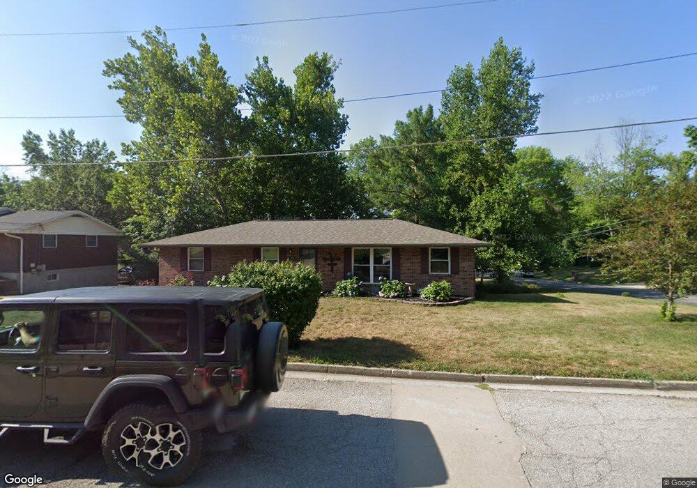
2511 Royal Air Dr Jefferson City, MO 65109
Estimated Value: $233,055 - $270,000
3
Beds
3
Baths
1,364
Sq Ft
$180/Sq Ft
Est. Value
About This Home
This home is located at 2511 Royal Air Dr, Jefferson City, MO 65109 and is currently estimated at $245,514, approximately $179 per square foot. 2511 Royal Air Dr is a home located in Cole County with nearby schools including Belair Elementary School, Thomas Jefferson Middle School, and Capital City High School.
Ownership History
Date
Name
Owned For
Owner Type
Purchase Details
Closed on
May 8, 2023
Sold by
Vanloo Lisa and Vanloo Brock
Bought by
Simpson Kyle and Forck Adrianne
Current Estimated Value
Home Financials for this Owner
Home Financials are based on the most recent Mortgage that was taken out on this home.
Original Mortgage
$199,323
Outstanding Balance
$193,811
Interest Rate
6.42%
Mortgage Type
FHA
Estimated Equity
$51,703
Create a Home Valuation Report for This Property
The Home Valuation Report is an in-depth analysis detailing your home's value as well as a comparison with similar homes in the area
Home Values in the Area
Average Home Value in this Area
Purchase History
| Date | Buyer | Sale Price | Title Company |
|---|---|---|---|
| Simpson Kyle | -- | None Listed On Document |
Source: Public Records
Mortgage History
| Date | Status | Borrower | Loan Amount |
|---|---|---|---|
| Open | Simpson Kyle | $199,323 |
Source: Public Records
Tax History Compared to Growth
Tax History
| Year | Tax Paid | Tax Assessment Tax Assessment Total Assessment is a certain percentage of the fair market value that is determined by local assessors to be the total taxable value of land and additions on the property. | Land | Improvement |
|---|---|---|---|---|
| 2025 | $1,297 | $21,750 | $3,040 | $18,710 |
| 2024 | $1,297 | $21,750 | $3,040 | $18,710 |
| 2023 | $1,297 | $21,750 | $3,040 | $18,710 |
| 2022 | $1,238 | $20,690 | $0 | $20,690 |
| 2021 | $1,245 | $20,690 | $0 | $20,690 |
| 2020 | $1,260 | $20,691 | $3,040 | $17,651 |
| 2019 | $1,200 | $21,698 | $3,040 | $18,658 |
| 2018 | $1,199 | $21,489 | $3,040 | $18,449 |
| 2017 | $1,170 | $20,273 | $3,040 | $17,233 |
| 2016 | -- | $20,273 | $3,040 | $17,233 |
| 2015 | $1,000 | $0 | $0 | $0 |
| 2014 | $1,000 | $20,273 | $3,040 | $17,233 |
Source: Public Records
Map
Nearby Homes
- 2628 Lola Dr
- 713 Belmont Dr
- 812 Boonville Rd
- 1128 Boonville Rd
- 604 Norris Dr
- 401 Norris Dr
- 2910 Sue Dr
- 301 Binder Dr
- 406 Meier Dr
- 325 Crest Dr
- 509 Sue Dr
- 0 Jaycee Dr
- 3050 Mercedes Ln
- 3046 Mercedes Ln
- 1452 Briar Village Ct
- 1435 Briar Village Ct
- 1934 Hayselton Dr
- 114 Douglas Dr
- 2016 W Main St
- 134 W Circle Dr
- 2507 Royal Air Dr
- 2516 Southern Air Dr
- 2514 Southern Air Dr
- 807 Airview Dr
- 2510 Royal Air Dr
- 2505 Royal Air Dr
- 809 Airview Dr
- 803 Airview Dr
- 2508 Royal Air Dr
- 2508 Southern Air Dr
- 813 Airview Dr
- 2503 Royal Air Dr
- 806 Eastern Air Dr
- 2506 Royal Air Dr
- 817 Airview Dr
- 2506 Southern Air Dr
- 808 Eastern Air Dr
- 818 Airview Dr
- 2504 Royal Air Dr
- 812 Eastern Air Dr