25113 245th St Lone Tree, IA 52755
Estimated Value: $290,000 - $560,000
3
Beds
2
Baths
2,448
Sq Ft
$184/Sq Ft
Est. Value
About This Home
This home is located at 25113 245th St, Lone Tree, IA 52755 and is currently estimated at $450,092, approximately $183 per square foot. 25113 245th St is a home located in Louisa County with nearby schools including Roundy Elementary School and Columbus Community High School.
Ownership History
Date
Name
Owned For
Owner Type
Purchase Details
Closed on
Jun 4, 2020
Sold by
Washington State Bank
Bought by
Forbes Trey A
Current Estimated Value
Home Financials for this Owner
Home Financials are based on the most recent Mortgage that was taken out on this home.
Original Mortgage
$265,120
Outstanding Balance
$234,489
Interest Rate
3.2%
Mortgage Type
Commercial
Estimated Equity
$215,603
Purchase Details
Closed on
Jan 25, 2006
Sold by
Forbes John J and Forbes Kelli D
Bought by
Forbes Neil E
Create a Home Valuation Report for This Property
The Home Valuation Report is an in-depth analysis detailing your home's value as well as a comparison with similar homes in the area
Purchase History
| Date | Buyer | Sale Price | Title Company |
|---|---|---|---|
| Forbes Trey A | $664,000 | None Available | |
| Forbes Neil E | $122,000 | None Available |
Source: Public Records
Mortgage History
| Date | Status | Borrower | Loan Amount |
|---|---|---|---|
| Open | Forbes Trey A | $265,120 |
Source: Public Records
Tax History
| Year | Tax Paid | Tax Assessment Tax Assessment Total Assessment is a certain percentage of the fair market value that is determined by local assessors to be the total taxable value of land and additions on the property. | Land | Improvement |
|---|---|---|---|---|
| 2025 | $3,342 | $316,090 | $66,580 | $249,510 |
| 2024 | $2,088 | $285,750 | $53,040 | $232,710 |
| 2023 | $1,566 | $176,420 | $53,040 | $123,380 |
| 2022 | $1,566 | $98,850 | $42,670 | $56,180 |
| 2021 | $1,602 | $98,850 | $42,670 | $56,180 |
| 2020 | $1,602 | $101,428 | $49,608 | $51,820 |
| 2019 | $1,656 | $101,460 | $49,640 | $51,820 |
| 2018 | $1,340 | $100,450 | $67,080 | $52,930 |
| 2017 | $1,342 | $97,168 | $0 | $0 |
| 2016 | $1,462 | $97,168 | $63,700 | $33,468 |
| 2015 | $1,462 | $97,168 | $63,700 | $33,468 |
| 2014 | $1,286 | $99,093 | $65,218 | $33,875 |
Source: Public Records
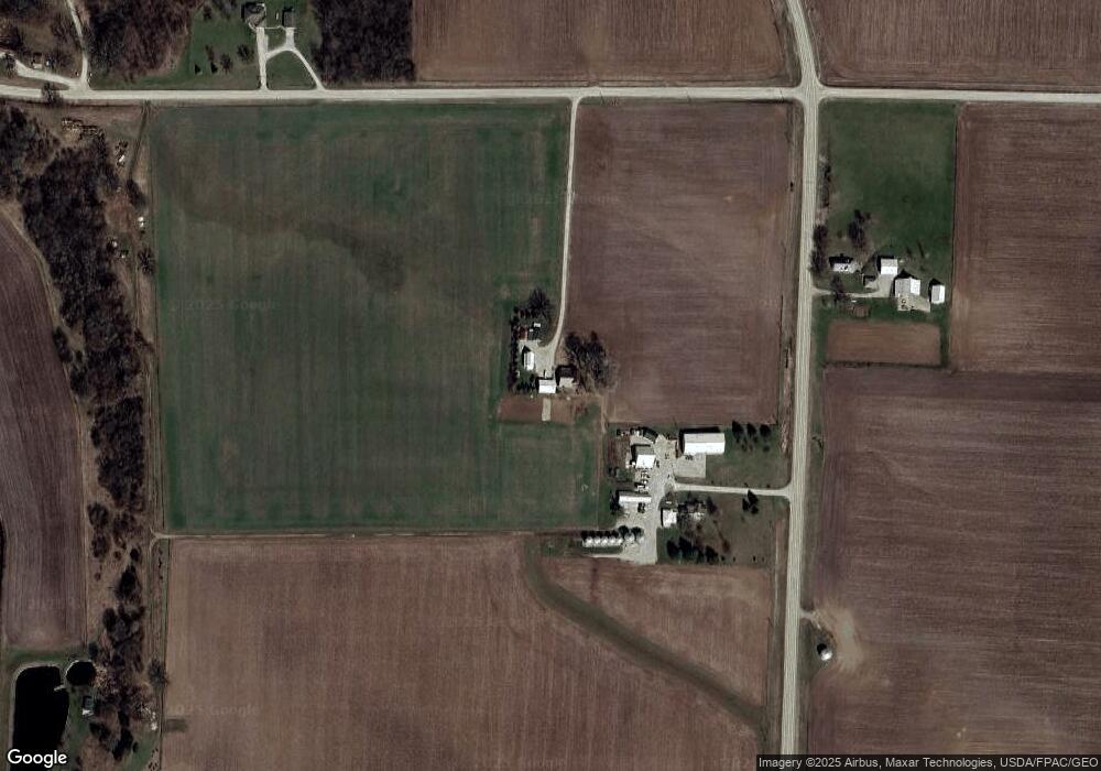
Map
Nearby Homes
- 25736 Golden Pond Ln Se Lot 17
- 25738 Golden Pond Ln Se Lot 16
- 25832 Golden Oak Ln Lot 12
- 25838 Golden Oak Ln Lot 7
- 25824 Golden Oak Ln Lot 9
- 25836 Golden Oak Ln Lot 8
- 25840 Golden Oak Ln Lot 1
- 0 Tri County Bridge Rd SE
- 4985 640th St SE
- 210 W Mapel Dr
- 500 S Center St
- 305 S Riggs St
- 407 E Elm St
- 221 W Commercial St
- 0 175th St
- 18416 Highway 70
- Lot 39 Walter Mapp Dr
- 207 Short St
- 3115 143rd Ln
- 1436 Vine Ave
- 24325 County Road X14
- 24439 County Road X14
- 25150 245th St
- 25350 245th St
- 25352 245th St
- 25566 245th St
- 25564 245th St
- 25562 245th St
- 24871 County Road X14
- 25561 245th St
- 25560 245th St
- 25684 245th St
- 25684 Golden Pond Rd SE
- 25682 Golden Pond Rd SE
- 25671 Golden Pond Rd SE
- 25674 Golden Pond Rd SE
- 25696 Golden Pond Rd SE
- 25676 Golden Pond Rd SE
- 25672 245th St
- 24813 County Road G28
Your Personal Tour Guide
Ask me questions while you tour the home.