2512 Charing Cross Rd NW Unit 45 Canton, OH 44708
Estimated Value: $295,444 - $405,000
2
Beds
3
Baths
2,428
Sq Ft
$140/Sq Ft
Est. Value
About This Home
This home is located at 2512 Charing Cross Rd NW Unit 45, Canton, OH 44708 and is currently estimated at $340,111, approximately $140 per square foot. 2512 Charing Cross Rd NW Unit 45 is a home located in Stark County with nearby schools including Avondale Elementary School, Oakwood Middle School, and GlenOak High School.
Ownership History
Date
Name
Owned For
Owner Type
Purchase Details
Closed on
Oct 22, 2015
Sold by
Addessi Paul F and Addessi Betty A
Bought by
Addessi Michael F and The Addessi Irrevocable Trust
Current Estimated Value
Purchase Details
Closed on
Aug 31, 2010
Sold by
Wolfe Teresa
Bought by
Addessi Paul F and Addessi Betty A
Purchase Details
Closed on
Jun 30, 2010
Sold by
Wolfe Teresa
Bought by
Addessi Paul F and Addessi Betty A
Home Financials for this Owner
Home Financials are based on the most recent Mortgage that was taken out on this home.
Original Mortgage
$139,000
Interest Rate
5%
Mortgage Type
Seller Take Back
Purchase Details
Closed on
Aug 5, 1999
Sold by
Wolfe Donald L and Wolfe Teresa
Bought by
The Terry Wolfe Living Trust and Wolfe Teresa
Purchase Details
Closed on
Sep 12, 1995
Sold by
Mckinley Dev Co
Bought by
Wolfe Donald L and Wolfe Teresa
Purchase Details
Closed on
May 6, 1994
Create a Home Valuation Report for This Property
The Home Valuation Report is an in-depth analysis detailing your home's value as well as a comparison with similar homes in the area
Home Values in the Area
Average Home Value in this Area
Purchase History
| Date | Buyer | Sale Price | Title Company |
|---|---|---|---|
| Addessi Michael F | -- | Attorney | |
| Addessi Paul F | $169,000 | Cornerstone Real Estate Titl | |
| Addessi Paul F | $169,000 | Attorney | |
| The Terry Wolfe Living Trust | -- | -- | |
| Wolfe Donald L | $155,900 | -- | |
| -- | -- | -- |
Source: Public Records
Mortgage History
| Date | Status | Borrower | Loan Amount |
|---|---|---|---|
| Closed | Addessi Paul F | $139,000 |
Source: Public Records
Tax History Compared to Growth
Tax History
| Year | Tax Paid | Tax Assessment Tax Assessment Total Assessment is a certain percentage of the fair market value that is determined by local assessors to be the total taxable value of land and additions on the property. | Land | Improvement |
|---|---|---|---|---|
| 2025 | -- | $94,050 | $17,850 | $76,200 |
| 2024 | -- | $94,050 | $17,850 | $76,200 |
| 2023 | $3,081 | $74,940 | $14,460 | $60,480 |
| 2022 | $3,091 | $74,940 | $14,460 | $60,480 |
| 2021 | $3,104 | $74,940 | $14,460 | $60,480 |
| 2020 | $3,189 | $68,680 | $12,360 | $56,320 |
| 2019 | $3,053 | $68,680 | $12,360 | $56,320 |
| 2018 | $3,014 | $68,680 | $12,360 | $56,320 |
| 2017 | $2,814 | $61,260 | $11,060 | $50,200 |
| 2016 | $2,822 | $61,260 | $11,060 | $50,200 |
| 2015 | $2,833 | $61,260 | $11,060 | $50,200 |
| 2014 | $490 | $53,310 | $12,110 | $41,200 |
| 2013 | $1,222 | $53,310 | $12,110 | $41,200 |
Source: Public Records
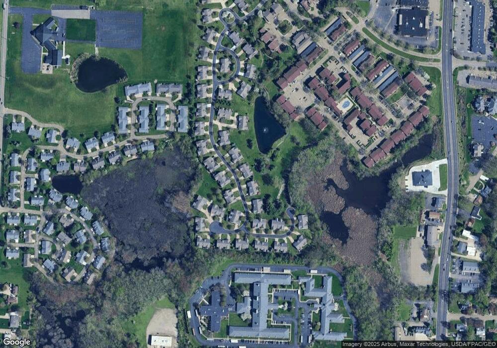
Map
Nearby Homes
- 2844 Marsh Ave NW Unit 49A
- 2520 Woodlawn Cir NW Unit 42B
- 4579 Morgate Cir NW
- 2887 Charing Cross Rd NW
- 4352 22nd St NW
- 2818 Marlin Ave NW
- 4703 Hills And Dales Rd NW Unit 304
- 1822 Woodlawn Ave NW
- 2622 Glenmont Rd NW
- 2450 Larchmoor Pkwy NW
- 4558 17th St NW
- 0 Dunkeith Dr NW Unit 5083845
- 3945 Arbor Creek Ave NW
- 4719 15th St NW
- 3431 Enfield Ave NW
- 4072 Lindbergh Ave NW
- 3878 36th St NW
- VL Woodlawn Ave NW
- 3222 25th St NW
- 3650 Overhill Dr NW
- 2514 Charing Cross Rd NW
- 2504 Charing Cross Rd NW Unit 44
- 2522 Charing Cross Rd NW
- 2511 Charing Cross Rd NW
- 2524 Charing Cross Rd NW
- 2513 Charing Cross Rd NW
- 2501 Charing Cross Rd NW Unit 42
- 2446 Charing Cross Rd NW Unit 55
- 2521 Charing Cross Rd NW Unit 38
- 2523 Charing Cross Rd NW Unit 37
- 2530 Charing Cross Rd NW
- 2530 Charing Cross Rd NW Unit 49
- 2439 Charing Cross Rd NW
- 2532 Charing Cross Rd NW Unit 50
- 2602 Charing Cross Rd NW Unit 27
- 2423 Charing Cross Rd NW Unit 79
- 2437 Charing Cross Rd NW Unit 81
- 2425 Charing Cross Rd NW Unit 80
- 2529 Charing Cross Rd NW
- 2531 Charing Cross Rd NW