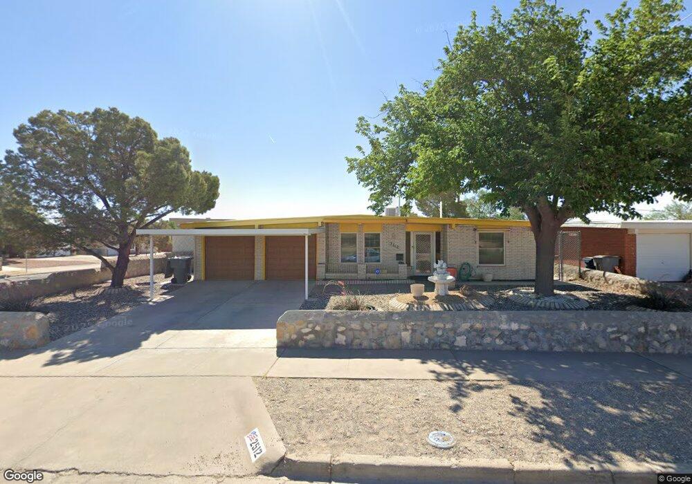
2512 Penwood Dr El Paso, TX 79935
Pico Norte NeighborhoodEstimated Value: $213,000 - $228,000
3
Beds
2
Baths
1,522
Sq Ft
$147/Sq Ft
Est. Value
About This Home
This home is located at 2512 Penwood Dr, El Paso, TX 79935 and is currently estimated at $223,804, approximately $147 per square foot. 2512 Penwood Dr is a home located in El Paso County with nearby schools including East Point Elementary School, Eastwood Middle School, and Eastwood High School.
Ownership History
Date
Name
Owned For
Owner Type
Purchase Details
Closed on
Mar 3, 2021
Sold by
Gromand Frederick Z
Bought by
Frederick and Gromand
Current Estimated Value
Purchase Details
Closed on
Feb 25, 2016
Sold by
Gromand Helga E
Bought by
Gromand Frederick Z
Purchase Details
Closed on
Jan 26, 2016
Sold by
William Z Gromand And Helga E Gromand Re
Bought by
Gromand Helga E
Purchase Details
Closed on
Feb 11, 2000
Sold by
Emma Gromand William Zolton and Emma Grommand Helga
Bought by
Gromand William Z and Gromand Revo E R
Create a Home Valuation Report for This Property
The Home Valuation Report is an in-depth analysis detailing your home's value as well as a comparison with similar homes in the area
Home Values in the Area
Average Home Value in this Area
Purchase History
| Date | Buyer | Sale Price | Title Company |
|---|---|---|---|
| Frederick | -- | None Listed On Document | |
| Gromand Frederick Z | -- | None Available | |
| Gromand Helga E | -- | None Available | |
| Gromand William Z | -- | -- |
Source: Public Records
Tax History Compared to Growth
Tax History
| Year | Tax Paid | Tax Assessment Tax Assessment Total Assessment is a certain percentage of the fair market value that is determined by local assessors to be the total taxable value of land and additions on the property. | Land | Improvement |
|---|---|---|---|---|
| 2025 | $2,618 | $205,000 | $46,194 | $158,806 |
| 2024 | $2,618 | $201,166 | -- | -- |
| 2023 | $2,618 | $182,878 | $0 | $0 |
| 2022 | $5,163 | $166,253 | $0 | $0 |
| 2021 | $4,913 | $151,139 | $25,138 | $126,001 |
| 2020 | $4,366 | $138,234 | $19,337 | $118,897 |
| 2018 | $4,264 | $137,134 | $19,337 | $117,797 |
| 2017 | $3,825 | $125,137 | $19,337 | $105,800 |
| 2016 | $3,689 | $120,682 | $19,337 | $101,345 |
| 2015 | $1,557 | $120,682 | $19,337 | $101,345 |
| 2014 | $1,557 | $130,772 | $19,337 | $111,435 |
Source: Public Records
Map
Nearby Homes
- 2412 Penwood Dr
- 10512 Album Ave
- 2701 Brady Place
- 2801 Brady Place
- 2912 Chaswood St
- 3000 Woodall St
- 10304 Blackwood Ave
- 2224 Escarpa Dr
- 3101 Vogue Dr
- 10309 Woodruff Ct
- 10304 Woodruff Ct
- 10301 Bayo Ave
- 3150 N Yarbrough Dr Unit A1
- 3112 Eads Place
- 10145 Singapore Ave
- 2105 Pacheco Dr
- 10140 Suez Dr
- 10145 Camwood Dr
- 2109 Febrero Dr
- 10313 Byway Dr
- 2508 Penwood Dr
- 2513 Ruewood Place
- 2509 Ruewood Place
- 2504 Penwood Dr
- 10405 Album Ave
- 2513 Penwood Dr
- 10409 Album Ave
- 2505 Ruewood Place
- 2509 Penwood Dr
- 2509 Penwood Dr Unit 1
- 2500 Penwood Dr
- 10413 Album Ave
- 2505 Penwood Dr
- 2505 Penwood Dr
- 2601 Penwood Dr
- 2501 Ruewood Place
- 2501 Ruewood Place Unit 1
- 10417 Album Ave
- 2501 Penwood Dr
- 2512 Ruewood Place