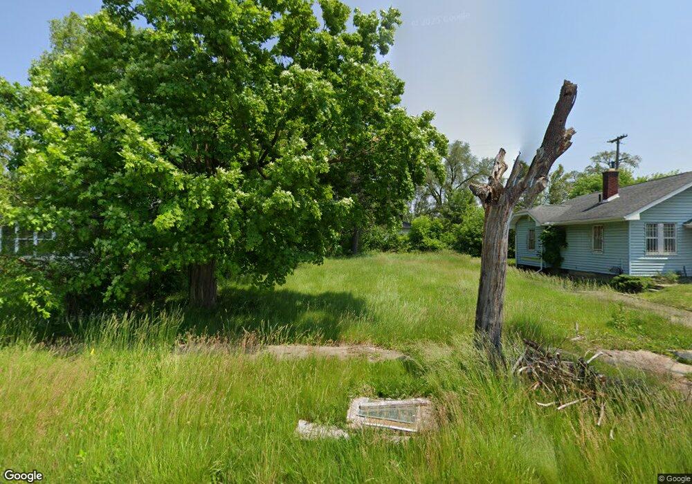
2512 Stevenson St Flint, MI 48504
Ballenger Square NeighborhoodEstimated Value: $38,000 - $220,000
2
Beds
1
Bath
1,080
Sq Ft
$92/Sq Ft
Est. Value
About This Home
This home is located at 2512 Stevenson St, Flint, MI 48504 and is currently estimated at $98,839, approximately $91 per square foot. 2512 Stevenson St is a home located in Genesee County with nearby schools including Durant-Tuuri-Mott Elementary School, St John Vianney Catholic School, and St. Paul Lutheran School.
Ownership History
Date
Name
Owned For
Owner Type
Purchase Details
Closed on
Dec 19, 2023
Sold by
Genesee County Treasurer
Bought by
Genesee Cnty Land Bk Authority
Current Estimated Value
Purchase Details
Closed on
Nov 14, 2014
Sold by
Stair Philip G
Bought by
Robertson Katie L
Purchase Details
Closed on
Nov 19, 2013
Sold by
State Of Michigan
Bought by
Genesee County Land Bank Authority
Purchase Details
Closed on
Nov 8, 2013
Sold by
Genesee County Land Bank Authority
Bought by
State Of Michigan and Land Bank Fast Track Authority
Purchase Details
Closed on
Dec 21, 2011
Sold by
Genesee County Treasurer
Bought by
Genesee County Land Bank
Create a Home Valuation Report for This Property
The Home Valuation Report is an in-depth analysis detailing your home's value as well as a comparison with similar homes in the area
Home Values in the Area
Average Home Value in this Area
Purchase History
| Date | Buyer | Sale Price | Title Company |
|---|---|---|---|
| Genesee Cnty Land Bk Authority | -- | None Listed On Document | |
| Robertson Katie L | -- | None Available | |
| Genesee County Land Bank Authority | -- | None Available | |
| State Of Michigan | -- | None Available | |
| Genesee County Land Bank | -- | None Available |
Source: Public Records
Tax History Compared to Growth
Tax History
| Year | Tax Paid | Tax Assessment Tax Assessment Total Assessment is a certain percentage of the fair market value that is determined by local assessors to be the total taxable value of land and additions on the property. | Land | Improvement |
|---|---|---|---|---|
| 2025 | -- | $0 | $0 | $0 |
| 2024 | $105 | $0 | $0 | $0 |
| 2023 | $102 | $2,500 | $0 | $0 |
| 2022 | $0 | $2,300 | $0 | $0 |
| 2021 | $132 | $2,000 | $0 | $0 |
| 2020 | $128 | $1,900 | $0 | $0 |
| 2019 | $136 | $1,800 | $0 | $0 |
| 2018 | $99 | $2,000 | $0 | $0 |
| 2017 | $27 | $0 | $0 | $0 |
| 2016 | $28 | $0 | $0 | $0 |
| 2015 | -- | $0 | $0 | $0 |
| 2014 | -- | $0 | $0 | $0 |
| 2012 | -- | $0 | $0 | $0 |
Source: Public Records
Map
Nearby Homes
- 2606 Stevenson St
- 1220 Forest Hill Ave
- 2410 Sloan St
- 2730 Berkley St
- 2536 Orchard Ln
- 2425 Clement St
- 2725 Prospect St
- 2001 Mackin Rd
- 2714 Barth St
- 2526 Concord St
- 2612 Concord St
- 2622 Concord St
- 1813 Stevenson St
- 2302 Mallery St
- 1802 Mackin Rd
- 2709 Mallery St
- 1717 Wolcott St
- 2713 Norbert St
- 2424 Begole St
- 2915 Berkley St
- 2508 Stevenson St
- 2516 Stevenson St
- 2513 Wolcott St
- 2502 Stevenson St
- 2520 Stevenson St
- 2517 Wolcott St
- 2509 Wolcott St
- 2521 Wolcott St
- 1315 Milbourne Ave
- 2509 Stevenson St
- 2513 Stevenson St
- 2527 Wolcott St
- 2517 Stevenson St
- 1265 Milbourne Ave
- 2534 Stevenson St
- 2528 Stevenson St
- 2521 Stevenson St
- 2529 Wolcott St
- 2527 Stevenson St
- 2518 Wolcott St