Estimated Value: $259,815 - $337,000
3
Beds
2
Baths
990
Sq Ft
$307/Sq Ft
Est. Value
About This Home
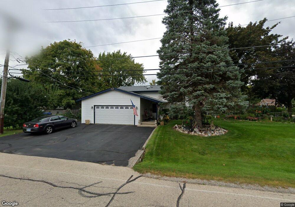
This home is located at 2512 Walnut St, Cary, IL 60013 and is currently estimated at $303,704, approximately $306 per square foot. 2512 Walnut St is a home located in McHenry County with nearby schools including Deer Path Elementary School, Cary Jr High School, and Cary-Grove High School.
Ownership History
Date
Name
Owned For
Owner Type
Purchase Details
Closed on
Dec 19, 2003
Sold by
Gordon Paula Jo
Bought by
Mcbeth Glenn A and Mcbeth Jeanette G
Current Estimated Value
Home Financials for this Owner
Home Financials are based on the most recent Mortgage that was taken out on this home.
Original Mortgage
$184,110
Outstanding Balance
$86,503
Interest Rate
6.08%
Mortgage Type
FHA
Estimated Equity
$217,201
Create a Home Valuation Report for This Property
The Home Valuation Report is an in-depth analysis detailing your home's value as well as a comparison with similar homes in the area
Home Values in the Area
Average Home Value in this Area
Purchase History
| Date | Buyer | Sale Price | Title Company |
|---|---|---|---|
| Mcbeth Glenn A | $187,000 | Pntn |
Source: Public Records
Mortgage History
| Date | Status | Borrower | Loan Amount |
|---|---|---|---|
| Open | Mcbeth Glenn A | $184,110 |
Source: Public Records
Tax History
| Year | Tax Paid | Tax Assessment Tax Assessment Total Assessment is a certain percentage of the fair market value that is determined by local assessors to be the total taxable value of land and additions on the property. | Land | Improvement |
|---|---|---|---|---|
| 2024 | $5,784 | $87,171 | $9,398 | $77,773 |
| 2023 | $5,640 | $77,963 | $8,405 | $69,558 |
| 2022 | $4,582 | $61,999 | $10,359 | $51,640 |
| 2021 | $4,354 | $57,760 | $9,651 | $48,109 |
| 2020 | $4,215 | $55,715 | $9,309 | $46,406 |
| 2019 | $4,125 | $53,326 | $8,910 | $44,416 |
| 2018 | $4,309 | $54,218 | $8,231 | $45,987 |
| 2017 | $4,216 | $51,077 | $7,754 | $43,323 |
| 2016 | $4,178 | $47,906 | $7,273 | $40,633 |
| 2013 | -- | $51,695 | $6,784 | $44,911 |
Source: Public Records
Map
Nearby Homes
- 6606 Silver Lake Rd
- 317 Sterling Cir
- 2819 Sun Valley Dr
- 6305 Robert Rd
- 5 Echo Hill Rd
- 16 Ash Dr
- 237 Foxford Dr
- 1293 W Lake Dr
- 3408 Royal Woods Dr
- 331 Parkstone Dr
- 134 Bright Oaks Cir
- Lot 10 Grove Ln
- Lot 11 Grove Ln
- 203 Valley Dr
- 211 Woody Way
- LOT 02 Three Oaks Rd
- 1141 Westlake Dr
- 1161 Amber Dr
- 6418 Carrie Ct
- 392 W Margaret Terrace
- 6605 Pheasant Trail
- 2513 Walnut St
- 6603 Pheasant Trail
- 6608 Pheasant Trail
- 6606 Pheasant Trail
- 6604 Silver Lake Rd
- 6703 Pheasant Trail
- 6604 Pheasant Trail
- 6601 Pheasant Trail
- 6704 Silver Lake Rd
- 6602 Silver Lake Rd
- 6602 Pheasant Trail
- 6704 Pheasant Trail
- 6705 Pheasant Trail
- 2507 Walnut St
- 6603 Wander Way
- 6706 Silver Lake Rd
- 6513 Pheasant Trail
- 6514 Pheasant Trail
- 2503 Walnut St
Your Personal Tour Guide
Ask me questions while you tour the home.