Estimated Value: $269,562 - $335,000
About This Home
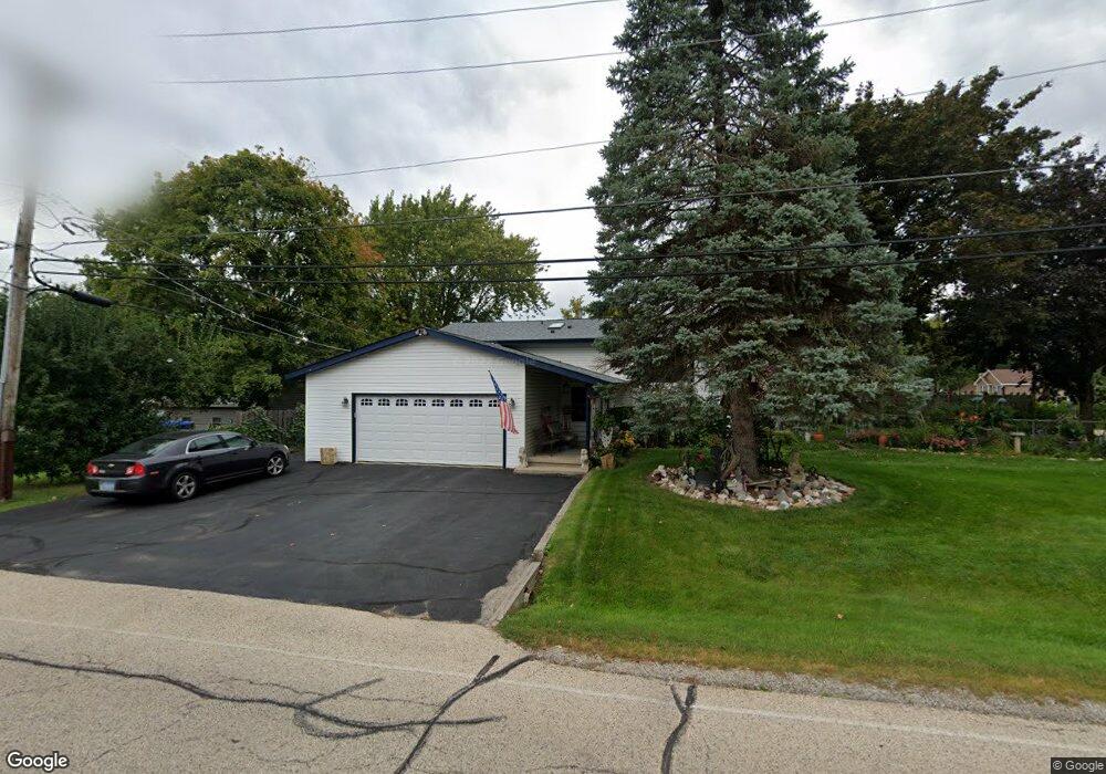
This home is located at 2512 Walnut St, Cary, IL 60013 and is currently estimated at $308,891, approximately $312 per square foot. 2512 Walnut St is a home located in McHenry County with nearby schools including Deer Path Elementary School, Cary Jr High School, and Cary-Grove High School.
Ownership History
We collect this data history from publicly available records. To have your information removed, we recommend requesting removal directly through your county’s website.
Purchase Details
Home Financials for this Owner
Home Financials are based on the most recent Mortgage that was taken out on this home.Home Values in the Area
Average Home Value in this Area
Purchase History
We collect this data history from publicly available records. To have your information removed, we recommend requesting removal directly through your county’s website.
| Date | Buyer | Sale Price | Title Company |
|---|---|---|---|
| $187,000 | Pntn |
Mortgage History
We collect this data history from publicly available records. To have your information removed, we recommend requesting removal directly through your county’s website.
| Date | Status | Borrower | Loan Amount |
|---|---|---|---|
| Open | $184,110 |
Tax History
We collect this data history from publicly available records. To have your information removed, we recommend requesting removal directly through your county’s website.
| Year | Tax Paid | Tax Assessment Tax Assessment Total Assessment is a certain percentage of the fair market value that is determined by local assessors to be the total taxable value of land and additions on the property. | Land | Improvement |
|---|---|---|---|---|
| 2024 | $5,784 | $87,171 | $9,398 | $77,773 |
| 2023 | $5,640 | $77,963 | $8,405 | $69,558 |
| 2022 | $4,582 | $61,999 | $10,359 | $51,640 |
| 2021 | $4,354 | $57,760 | $9,651 | $48,109 |
| 2020 | $4,215 | $55,715 | $9,309 | $46,406 |
| 2019 | $4,125 | $53,326 | $8,910 | $44,416 |
| 2018 | $4,309 | $54,218 | $8,231 | $45,987 |
| 2017 | $4,216 | $51,077 | $7,754 | $43,323 |
| 2016 | $4,178 | $47,906 | $7,273 | $40,633 |
| 2013 | -- | $51,695 | $6,784 | $44,911 |
Map
- 6705 Pheasant Trail
- 6415 Wood Dr
- 6314 Hillcrest Rd
- 6305 Robert Rd
- 6411 Londonderry Dr
- 2910 Killarney Dr
- 3013 Highland Dr
- 218 Foxford Dr
- 44 Willow Cir
- 102 Pine Cir
- 1164 Liberty Ave
- 902 Oak Valley Dr
- 361 Oakmont Dr
- 116 Valley Dr
- 1288 W Lake Dr
- 1260 W Lake Dr
- 3408 Royal Woods Dr
- 32 Bright Oaks Cir Unit 1
- 200 N Shore Dr
- 1181 W Lake Dr
- 6605 Pheasant Trail
- 2513 Walnut St
- 6603 Pheasant Trail
- 6608 Pheasant Trail
- 6606 Pheasant Trail
- 6604 Silver Lake Rd
- 6703 Pheasant Trail
- 6604 Pheasant Trail
- 6601 Pheasant Trail
- 6704 Silver Lake Rd
- 6602 Silver Lake Rd
- 6602 Pheasant Trail
- 6704 Pheasant Trail
- 2507 Walnut St
- 6603 Wander Way
- 6513 Pheasant Trail
- 6706 Silver Lake Rd
- 6514 Pheasant Trail
- 2503 Walnut St
- 6706 Pheasant Trail
Ask me questions while you tour the home.