25124 Turner Rd Monroe, OR 97456
Estimated Value: $559,000 - $635,000
3
Beds
2
Baths
1,706
Sq Ft
$350/Sq Ft
Est. Value
About This Home
This home is located at 25124 Turner Rd, Monroe, OR 97456 and is currently estimated at $596,323, approximately $349 per square foot. 25124 Turner Rd is a home located in Benton County with nearby schools including Monroe Grade School and Monroe High School.
Ownership History
Date
Name
Owned For
Owner Type
Purchase Details
Closed on
Jul 18, 2025
Sold by
Cutting Family Trust and Cutting Sally B
Bought by
Kester Chareen F and Kester Richard K
Current Estimated Value
Home Financials for this Owner
Home Financials are based on the most recent Mortgage that was taken out on this home.
Original Mortgage
$467,000
Outstanding Balance
$466,208
Interest Rate
6.84%
Mortgage Type
New Conventional
Estimated Equity
$130,115
Purchase Details
Closed on
Feb 21, 2006
Sold by
Cutting David W and Cutting Sally B
Bought by
Cutting David W and Cutting Sally B
Create a Home Valuation Report for This Property
The Home Valuation Report is an in-depth analysis detailing your home's value as well as a comparison with similar homes in the area
Home Values in the Area
Average Home Value in this Area
Purchase History
| Date | Buyer | Sale Price | Title Company |
|---|---|---|---|
| Kester Chareen F | $590,000 | First American Title | |
| Cutting David W | -- | None Available | |
| Cutting David W | -- | None Available |
Source: Public Records
Mortgage History
| Date | Status | Borrower | Loan Amount |
|---|---|---|---|
| Open | Kester Chareen F | $467,000 |
Source: Public Records
Tax History Compared to Growth
Tax History
| Year | Tax Paid | Tax Assessment Tax Assessment Total Assessment is a certain percentage of the fair market value that is determined by local assessors to be the total taxable value of land and additions on the property. | Land | Improvement |
|---|---|---|---|---|
| 2025 | $4,583 | $368,667 | -- | -- |
| 2024 | $4,583 | $357,929 | -- | -- |
| 2023 | $4,331 | $347,504 | $0 | $0 |
| 2022 | $4,213 | $337,383 | $0 | $0 |
| 2021 | $4,105 | $327,556 | $0 | $0 |
| 2020 | $4,162 | $318,016 | $0 | $0 |
| 2019 | $3,772 | $308,753 | $0 | $0 |
| 2018 | $4,105 | $299,760 | $0 | $0 |
| 2017 | $3,176 | $291,029 | $0 | $0 |
| 2016 | $2,699 | $258,079 | $0 | $0 |
| 2015 | $2,775 | $265,920 | $0 | $0 |
| 2014 | $3,371 | $274,770 | $0 | $0 |
| 2012 | -- | $216,517 | $0 | $0 |
Source: Public Records
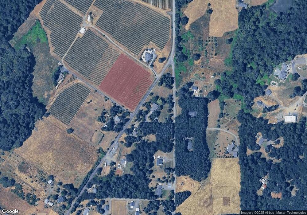
Map
Nearby Homes
- 710 N 8th St
- 0 8th Ave
- 991 Main St
- 26377 Cherry Creek Rd
- 24880 Orchard Tract Rd
- 0 Oak St
- 3 Orchard St
- 194 Oak St
- 580 S 10th St
- 0 Crandall
- 23900 Territorial Hwy
- 23900 Territorial Hwy Unit 3
- 25148 Smittys Place
- 25053 Larson Rd
- 23900 Territorial (Parcel 3) Hwy
- 0 Hwy 99 W
- 15511AA016 W Highway 99
- 15511AA017 W Highway 99
- 96470 Highway 99
- 25219 High Pass Rd
- 25120 Turner Rd
- 25150 Orchard Tract Rd
- 25119 Turner Rd
- 25169 Turner Rd
- 25192 Orchard Tract Rd
- 25192 Orchard Tract Rd
- 25115 Turner Rd
- 25108 Turner Rd
- 25114 Orchard Tract Rd
- 25084 Turner Rd
- 25117 Turner Rd
- 25158 Orchard Tract Rd
- 0 Alpine Orchard Tract Unit 624242
- 0 Alpine Orchard Tract Unit 601668
- 0 Alpine Orchard Tract Unit 8087516
- 0 Orchard Tract Rd
- 25111 Orchard Tract Rd
- 25058 Turner Rd
- 26625 Shady Oak Dr
- 26697 Shady Oak Dr