2513 Canopy Ct Marietta, GA 30066
Sandy Plains NeighborhoodEstimated Value: $1,295,000 - $1,556,500
5
Beds
8
Baths
5,543
Sq Ft
$259/Sq Ft
Est. Value
About This Home
This home is located at 2513 Canopy Ct, Marietta, GA 30066 and is currently estimated at $1,436,125, approximately $259 per square foot. 2513 Canopy Ct is a home located in Cobb County with nearby schools including Davis Elementary School, Mabry Middle School, and Lassiter High School.
Ownership History
Date
Name
Owned For
Owner Type
Purchase Details
Closed on
Jul 11, 2006
Sold by
Gary M Deppe Inc
Bought by
Hayes John S and Hayes Kimberly
Current Estimated Value
Home Financials for this Owner
Home Financials are based on the most recent Mortgage that was taken out on this home.
Original Mortgage
$650,000
Outstanding Balance
$382,788
Interest Rate
6.6%
Mortgage Type
New Conventional
Estimated Equity
$1,053,337
Purchase Details
Closed on
Aug 17, 2005
Sold by
Randall Communities Llc
Bought by
Gary M Deppe Inc
Home Financials for this Owner
Home Financials are based on the most recent Mortgage that was taken out on this home.
Original Mortgage
$637,500
Interest Rate
5.57%
Create a Home Valuation Report for This Property
The Home Valuation Report is an in-depth analysis detailing your home's value as well as a comparison with similar homes in the area
Home Values in the Area
Average Home Value in this Area
Purchase History
| Date | Buyer | Sale Price | Title Company |
|---|---|---|---|
| Hayes John S | $890,000 | -- | |
| Gary M Deppe Inc | $210,000 | -- |
Source: Public Records
Mortgage History
| Date | Status | Borrower | Loan Amount |
|---|---|---|---|
| Open | Hayes John S | $650,000 | |
| Previous Owner | Gary M Deppe Inc | $637,500 |
Source: Public Records
Tax History
| Year | Tax Paid | Tax Assessment Tax Assessment Total Assessment is a certain percentage of the fair market value that is determined by local assessors to be the total taxable value of land and additions on the property. | Land | Improvement |
|---|---|---|---|---|
| 2025 | $4,812 | $597,872 | $130,000 | $467,872 |
| 2024 | $4,533 | $500,672 | $82,000 | $418,672 |
| 2023 | $13,166 | $500,672 | $82,000 | $418,672 |
Source: Public Records
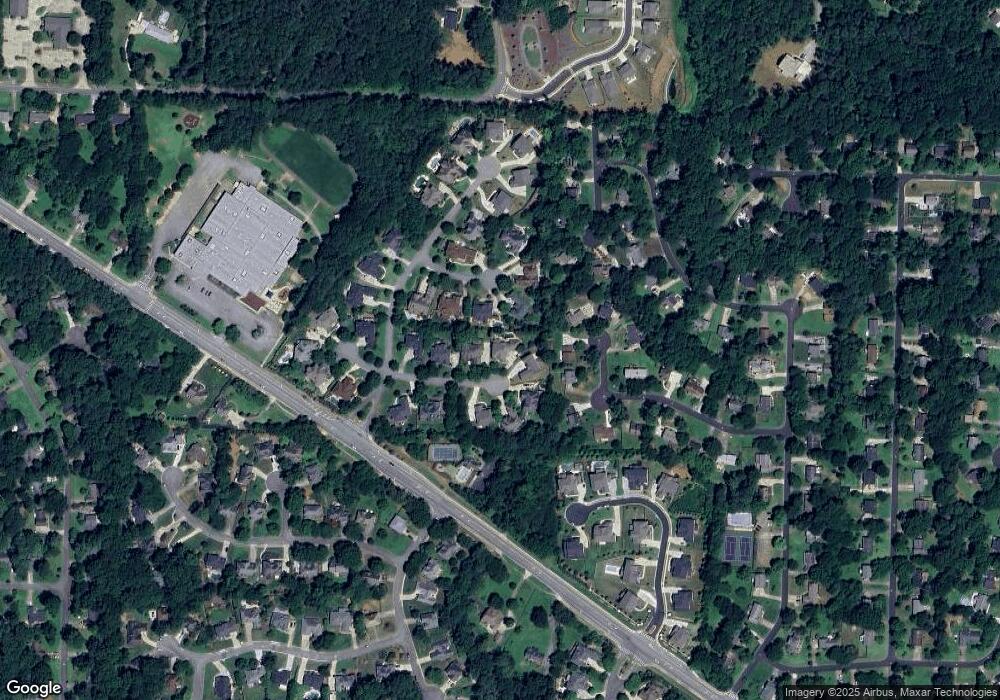
Map
Nearby Homes
- 2572 Chestea Dr NE
- 134 Spaulding Ln
- 2652 Forest Way NE
- 259 Wild Ginger Bend
- 255 Wild Ginger Bend
- 2677 Forest Way NE
- 251 Wild Ginger Bend
- 2662 Forest Way NE
- 209 Lakestone Pkwy
- 449 Maypop Ln
- 189 Lakestone Pkwy
- 231 Lakestone Pkwy
- 416 Maypop Ln
- 3025 S Cherokee Ln
- 4692 Bluffside Ct
- 2973 Forest Chase Terrace NE
- 2644 Forest Glen Dr NE Unit 2
- 301 Beebalm St
- 305 Beebalm St
Your Personal Tour Guide
Ask me questions while you tour the home.