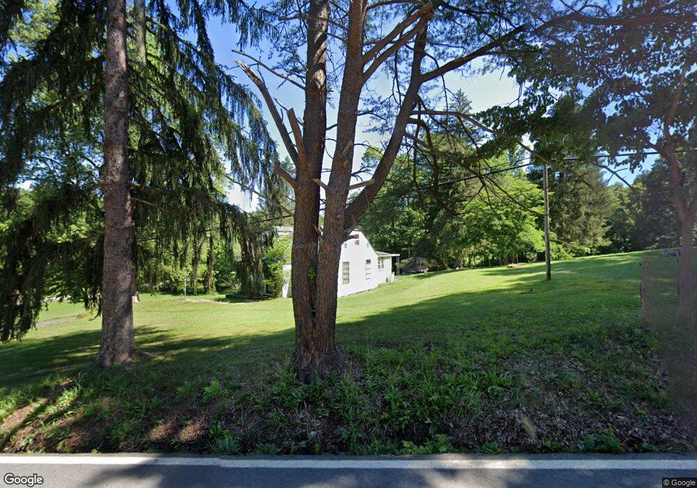
2513 E Grafton Rd Fairmont, WV 26554
Estimated Value: $167,000 - $195,000
3
Beds
1
Bath
1,330
Sq Ft
$139/Sq Ft
Est. Value
About This Home
This home is located at 2513 E Grafton Rd, Fairmont, WV 26554 and is currently estimated at $185,000, approximately $139 per square foot. 2513 E Grafton Rd is a home with nearby schools including East Dale Elementary School, East Fairmont High School, and East Fairmont Junior High School.
Ownership History
Date
Name
Owned For
Owner Type
Purchase Details
Closed on
May 29, 2024
Sold by
Smith Michael Scott and Smith Hayward Michael
Bought by
Lawson Lani and Smith Michael Scott
Current Estimated Value
Home Financials for this Owner
Home Financials are based on the most recent Mortgage that was taken out on this home.
Original Mortgage
$517,500
Outstanding Balance
$510,547
Interest Rate
6.75%
Mortgage Type
Construction
Estimated Equity
-$325,547
Create a Home Valuation Report for This Property
The Home Valuation Report is an in-depth analysis detailing your home's value as well as a comparison with similar homes in the area
Home Values in the Area
Average Home Value in this Area
Purchase History
| Date | Buyer | Sale Price | Title Company |
|---|---|---|---|
| Lawson Lani | -- | None Listed On Document |
Source: Public Records
Mortgage History
| Date | Status | Borrower | Loan Amount |
|---|---|---|---|
| Open | Lawson Lani | $517,500 |
Source: Public Records
Tax History Compared to Growth
Tax History
| Year | Tax Paid | Tax Assessment Tax Assessment Total Assessment is a certain percentage of the fair market value that is determined by local assessors to be the total taxable value of land and additions on the property. | Land | Improvement |
|---|---|---|---|---|
| 2024 | $42 | $61,320 | $20,640 | $40,680 |
| 2023 | $754 | $59,580 | $20,640 | $38,940 |
| 2022 | $698 | $56,400 | $20,640 | $35,760 |
| 2021 | $663 | $54,240 | $20,340 | $33,900 |
| 2020 | $638 | $51,960 | $19,680 | $32,280 |
| 2019 | $627 | $50,160 | $19,680 | $30,480 |
| 2018 | $617 | $49,680 | $22,200 | $27,480 |
| 2017 | $581 | $47,280 | $20,340 | $26,940 |
| 2016 | $585 | $47,760 | $21,720 | $26,040 |
| 2015 | $572 | $47,880 | $22,980 | $24,900 |
| 2014 | $572 | $46,320 | $21,720 | $24,600 |
Source: Public Records
Map
Nearby Homes
- 83 Burnt Cabin Rd
- 5 Burnt Cabin Rd
- 1938 E Grafton Rd
- 403 Valley Falls Rd
- 431 Valley Falls Rd
- 366 Samaria Rd
- 1690 Levels Rd
- TBD Levels Rd
- TBD Lynn Chapel Rd
- 0 Ice Linn Ln
- 42 Ice Linn Ln
- Tbd Levels Rd Unit Lot WP001
- 1116 E Grafton Rd
- 2180 Colfax Rd
- 52 Saint Josephs Trail
- 34 Guyses Run Rd
- 2108 Bunner Ridge Rd
- 306 White Island Rd
- 904 Pinchgut Hollow Rd
- 34 Sandy Beach Rd
- 2504 E Grafton Rd
- 2510 E Grafton Rd
- 40 Quiet Dell Ln
- 33 Strolling Ln
- 2488 E Grafton Rd
- 49 Quiet Dell Ln
- 2486 E Grafton Rd
- 29 Ricktree Dr
- 70 Quiet Dell Ln
- 67 Quiet Dell Ln
- 2447 E Grafton Rd
- 2588 E Grafton Rd
- 7 Serenity Ct
- 2594 E Grafton Rd
- 73 Quiet Dell Ln
- 12 Serenity Ct
- 42 Ricktree Dr
- 61 Quiet Dell Ln
- 2435 E Grafton Rd
- 28 Quiet Dell Ln