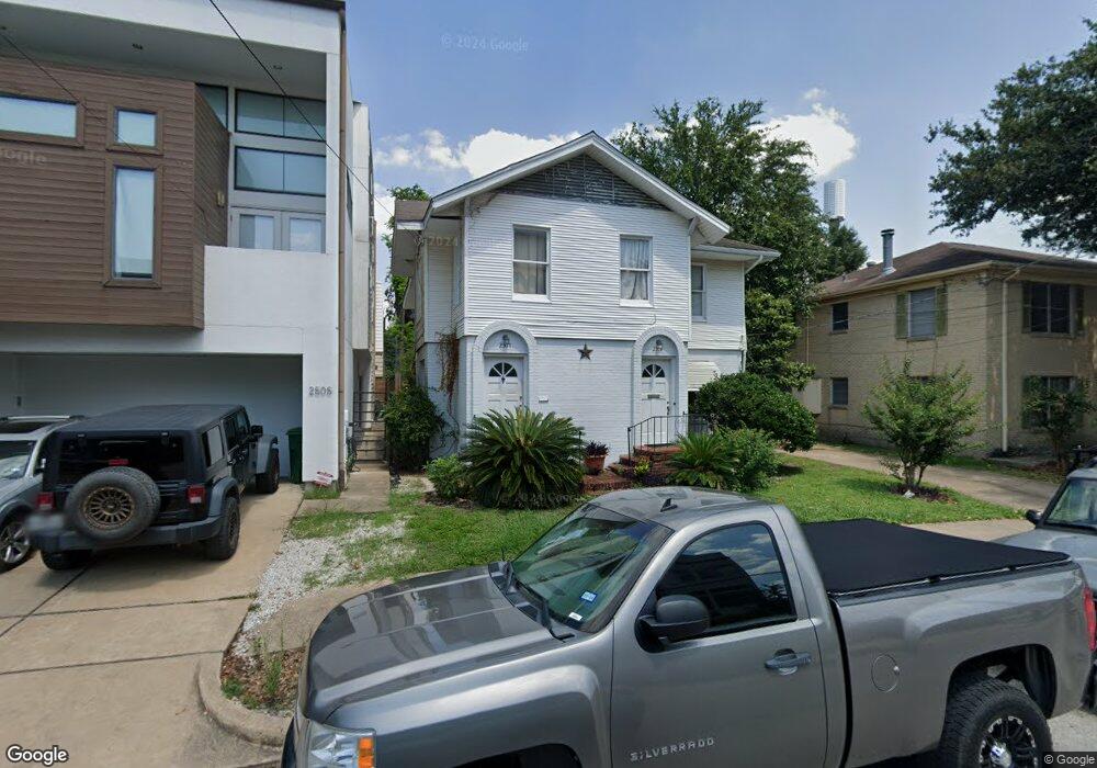
2513 Hazard St Houston, TX 77019
Montrose NeighborhoodEstimated Value: $709,000 - $921,000
4
Beds
2
Baths
2,460
Sq Ft
$328/Sq Ft
Est. Value
About This Home
This home is located at 2513 Hazard St, Houston, TX 77019 and is currently estimated at $807,042, approximately $328 per square foot. 2513 Hazard St is a home located in Harris County with nearby schools including Baker Montessori, Lanier Middle School, and Lamar High School.
Ownership History
Date
Name
Owned For
Owner Type
Purchase Details
Closed on
May 7, 2024
Sold by
Evelyn Bell Franklin Testamentary Trust and Franklin Gerald
Bought by
Franklin Gerald
Current Estimated Value
Purchase Details
Closed on
Sep 3, 2021
Sold by
Franklin Gerald and Estate Of Marguerite Fischer F
Bought by
Franklin Gerald
Purchase Details
Closed on
May 27, 2003
Sold by
Eason Donald Everette and Eason Evelyn Katherine
Bought by
Franklin Gerald and Franklin Evelyn Frances
Create a Home Valuation Report for This Property
The Home Valuation Report is an in-depth analysis detailing your home's value as well as a comparison with similar homes in the area
Home Values in the Area
Average Home Value in this Area
Purchase History
| Date | Buyer | Sale Price | Title Company |
|---|---|---|---|
| Franklin Gerald | -- | None Listed On Document | |
| Evelyn Bell Franklin Testamentary Trust | -- | None Listed On Document | |
| Franklin Gerald | -- | None Available | |
| Franklin Gerald | -- | -- |
Source: Public Records
Tax History Compared to Growth
Tax History
| Year | Tax Paid | Tax Assessment Tax Assessment Total Assessment is a certain percentage of the fair market value that is determined by local assessors to be the total taxable value of land and additions on the property. | Land | Improvement |
|---|---|---|---|---|
| 2025 | $13,313 | $636,275 | $625,000 | $11,275 |
| 2024 | $13,313 | $636,275 | $625,000 | $11,275 |
| 2023 | $12,820 | $636,275 | $625,000 | $11,275 |
| 2022 | $12,335 | $560,193 | $550,000 | $10,193 |
| 2021 | $11,299 | $484,819 | $475,000 | $9,819 |
| 2020 | $11,846 | $489,200 | $475,000 | $14,200 |
| 2019 | $12,379 | $489,200 | $475,000 | $14,200 |
| 2018 | $11,841 | $467,936 | $410,000 | $57,936 |
| 2017 | $11,585 | $436,600 | $410,000 | $26,600 |
| 2016 | $11,808 | $445,000 | $410,000 | $35,000 |
| 2015 | $10,540 | $445,000 | $410,000 | $35,000 |
| 2014 | $10,540 | $410,000 | $340,000 | $70,000 |
Source: Public Records
Map
Nearby Homes
- 2505 Mcduffie St Unit B
- 1900 Hawthorne St
- 2508 Brun St
- 2309 Driscoll St
- 2315 Huldy St
- 2410 Huldy St
- 1912 Kipling St
- 2415 Elmen St
- 1924 Kipling St
- 2112 Mcduffie St
- 2103 Hazard St
- 2119 Huldy St
- 2117 Huldy St
- 2314 Park St
- 2115 Huldy St
- 2113 Huldy St
- 1824 Marshall St
- 2026 Morse St
- 1755 Kipling St
- 1849 Marshall St Unit 9
- 2505 Hazard St
- 2505 Hazard St Unit B
- 2515 Hazard St
- 2503 Hazard St
- 2514 Driscoll St
- 2501 Hazard St
- 2501 Hazard St Unit 2
- 2501 Hazard St Unit 1
- 2514 Driscoll St
- 2510 Driscoll St
- 2521 Hazard St
- 2520 Driscoll St
- 2506 Driscoll St Unit 1
- 2506 Driscoll St Unit 4
- 2506 Driscoll St
- 2516 Dris
- 2510 Hazard St
- 2510 Hazard St Unit 2
- 2512 Hazard St
- 2504 Driscoll St