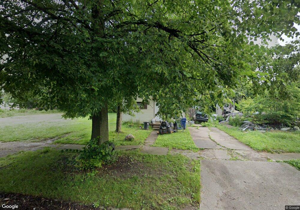
2513 Kansas Ave Flint, MI 48506
Eastside NeighborhoodEstimated Value: $24,000 - $77,000
2
Beds
1
Bath
851
Sq Ft
$53/Sq Ft
Est. Value
About This Home
This home is located at 2513 Kansas Ave, Flint, MI 48506 and is currently estimated at $45,256, approximately $53 per square foot. 2513 Kansas Ave is a home located in Genesee County with nearby schools including Potter School, Flint Cultural Center Academy, and WAY Academy of Flint.
Ownership History
Date
Name
Owned For
Owner Type
Purchase Details
Closed on
Jul 6, 2021
Sold by
Moore Keri
Bought by
Roberts Michael
Current Estimated Value
Purchase Details
Closed on
Feb 11, 2016
Sold by
Lamson Adam Michael
Bought by
Moore Keri
Purchase Details
Closed on
Jul 7, 2014
Sold by
Griswold Shelby
Bought by
Lamson Adam
Purchase Details
Closed on
Jul 1, 2014
Sold by
Lowe Bruce
Bought by
Griswold Shelby
Purchase Details
Closed on
Jun 25, 2009
Sold by
Lowe Susan Williams
Bought by
Lowe Bruce A
Purchase Details
Closed on
Feb 7, 2005
Sold by
Worthing Wesley C and Worthing Nancy J
Bought by
Wnw1164 Llc
Create a Home Valuation Report for This Property
The Home Valuation Report is an in-depth analysis detailing your home's value as well as a comparison with similar homes in the area
Home Values in the Area
Average Home Value in this Area
Purchase History
| Date | Buyer | Sale Price | Title Company |
|---|---|---|---|
| Roberts Michael | $4,000 | None Available | |
| Moore Keri | $1,000 | Attorney | |
| Lamson Adam | $1,000 | None Available | |
| Griswold Shelby | $3,410 | None Available | |
| Lowe Bruce A | -- | None Available | |
| Wnw1164 Llc | -- | None Available |
Source: Public Records
Tax History
| Year | Tax Paid | Tax Assessment Tax Assessment Total Assessment is a certain percentage of the fair market value that is determined by local assessors to be the total taxable value of land and additions on the property. | Land | Improvement |
|---|---|---|---|---|
| 2025 | $801 | $10,800 | $0 | $0 |
| 2024 | $749 | $10,000 | $0 | $0 |
| 2023 | $738 | $8,400 | $0 | $0 |
| 2022 | $0 | $6,800 | $0 | $0 |
| 2021 | $709 | $7,700 | $0 | $0 |
| 2020 | $662 | $7,500 | $0 | $0 |
| 2019 | $676 | $5,900 | $0 | $0 |
| 2018 | $668 | $6,400 | $0 | $0 |
| 2017 | $703 | $0 | $0 | $0 |
| 2016 | $670 | $0 | $0 | $0 |
| 2015 | -- | $0 | $0 | $0 |
| 2014 | -- | $0 | $0 | $0 |
| 2012 | -- | $8,800 | $0 | $0 |
Source: Public Records
Map
Nearby Homes
- 2605 Nebraska Ave
- 2610 Pennsylvania Ave
- 2301 Missouri Ave
- 406 S Lynch St
- 2601 Illinois Ave
- 1501 Arlington Ave
- 1622 Arlington Ave
- 605 S Lynch St
- 1318 Cronk Ave
- 1216 Minnesota Ave
- 2211 Torrance St
- 2002 Branch Rd
- 2013 E Court St
- 1609 Ohio Ave
- 2321 Levern St
- 3232 Dale Ave
- 3421 Brewster St
- 3205 Holly Ave
- 2426 Hoff St
- 1805 Bennett Ave
- 2601 Kansas Ave
- 2509 Kansas Ave
- 2505 Kansas Ave
- 2605 Kansas Ave
- 2514 Nebraska Ave
- 2602 Nebraska Ave
- 2510 Nebraska Ave
- 2609 Kansas Ave
- 2501 Kansas Ave
- 2502 Nebraska Ave
- 2613 Kansas Ave
- 2618 Nebraska Ave
- 2606 Nebraska Ave
- 2614 Nebraska Ave
- 2617 Kansas Ave
- 1001 N Cumberland St
- 2601 Nebraska Ave
- 2511 Nebraska Ave
- 2505 Nebraska Ave
- 2434 Nebraska Ave