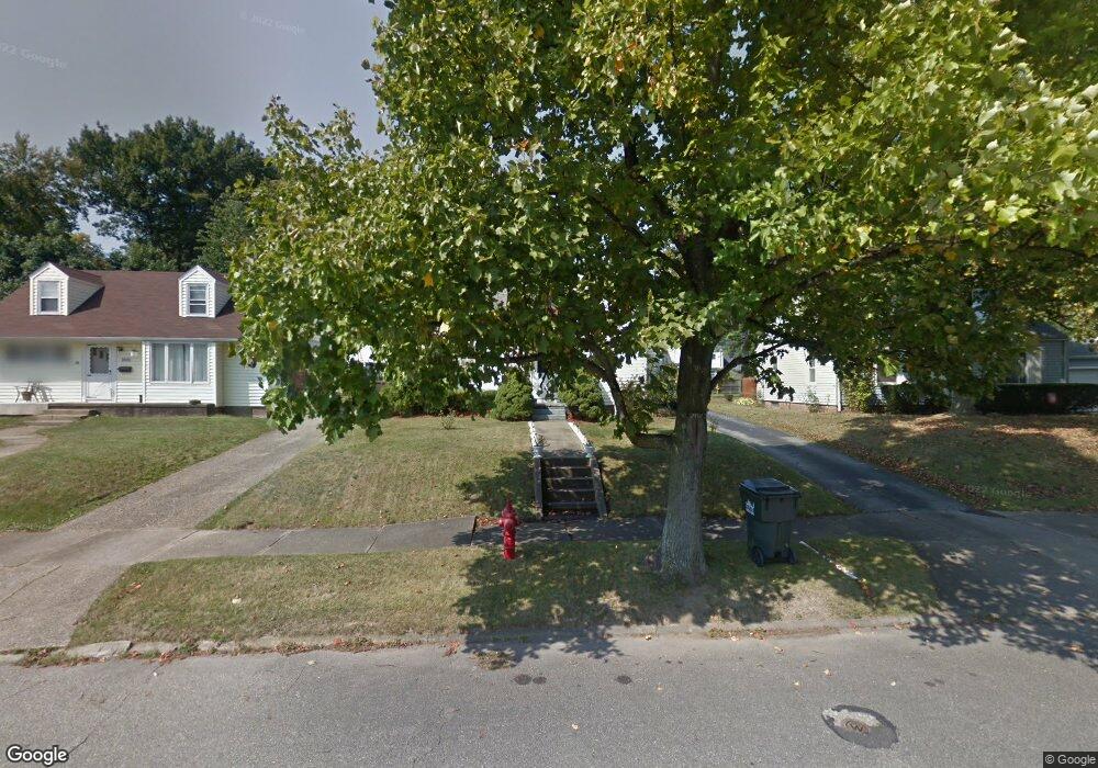
2513 Shunk Ave Alliance, OH 44601
Estimated Value: $144,000 - $186,000
2
Beds
1
Bath
1,305
Sq Ft
$121/Sq Ft
Est. Value
About This Home
This home is located at 2513 Shunk Ave, Alliance, OH 44601 and is currently estimated at $157,975, approximately $121 per square foot. 2513 Shunk Ave is a home located in Stark County with nearby schools including Alliance Elementary School at Rockhill, Alliance Intermediate School at Northside, and Alliance Middle School.
Ownership History
Date
Name
Owned For
Owner Type
Purchase Details
Closed on
Feb 12, 2021
Sold by
Cunin Richard A and Cunin Lourae
Bought by
Louc I Ltd
Current Estimated Value
Purchase Details
Closed on
Nov 4, 2014
Sold by
Louc I Ltd
Bought by
Cunin Richard A and Cunin Lourae
Purchase Details
Closed on
Apr 24, 2002
Sold by
Cunin Richard A and Cunin Lourae
Bought by
Louc I Ltd
Home Financials for this Owner
Home Financials are based on the most recent Mortgage that was taken out on this home.
Original Mortgage
$600,000
Interest Rate
7.13%
Mortgage Type
Seller Take Back
Purchase Details
Closed on
Dec 28, 1998
Sold by
Alliance Title Services Inc
Bought by
Cunin Richard A and Cunin Lourae
Purchase Details
Closed on
Sep 17, 1998
Sold by
Ferner Pearl J
Bought by
Union Title Co
Purchase Details
Closed on
May 26, 1988
Create a Home Valuation Report for This Property
The Home Valuation Report is an in-depth analysis detailing your home's value as well as a comparison with similar homes in the area
Home Values in the Area
Average Home Value in this Area
Purchase History
| Date | Buyer | Sale Price | Title Company |
|---|---|---|---|
| Louc I Ltd | -- | None Available | |
| Cunin Richard A | -- | None Available | |
| Louc I Ltd | -- | -- | |
| Cunin Richard A | -- | -- | |
| Alliance Title Services Inc | -- | -- | |
| Union Title Co | $59,900 | -- | |
| -- | $39,900 | -- |
Source: Public Records
Mortgage History
| Date | Status | Borrower | Loan Amount |
|---|---|---|---|
| Previous Owner | Louc I Ltd | $600,000 |
Source: Public Records
Tax History Compared to Growth
Tax History
| Year | Tax Paid | Tax Assessment Tax Assessment Total Assessment is a certain percentage of the fair market value that is determined by local assessors to be the total taxable value of land and additions on the property. | Land | Improvement |
|---|---|---|---|---|
| 2025 | -- | $39,100 | $10,470 | $28,630 |
| 2024 | -- | $39,100 | $10,470 | $28,630 |
| 2023 | $1,429 | $34,720 | $8,120 | $26,600 |
| 2022 | $1,439 | $34,720 | $8,120 | $26,600 |
| 2021 | $1,443 | $34,720 | $8,120 | $26,600 |
| 2020 | $1,334 | $30,000 | $7,070 | $22,930 |
| 2019 | $1,316 | $30,000 | $7,070 | $22,930 |
| 2018 | $1,322 | $30,000 | $7,070 | $22,930 |
| 2017 | $1,161 | $25,870 | $7,320 | $18,550 |
| 2016 | $1,171 | $25,870 | $7,320 | $18,550 |
| 2015 | $1,181 | $25,870 | $7,320 | $18,550 |
| 2014 | $1,133 | $23,630 | $6,690 | $16,940 |
| 2013 | $565 | $23,630 | $6,690 | $16,940 |
Source: Public Records
Map
Nearby Homes
- 2705 Shunk Ave
- 2839 S Rockhill Ave
- 549 Linwood Dr
- 2372 S Union Ave
- 3101 Ridgehill Ave
- 2405 Cherry Ave
- 1059 Oakwood Dr
- 236 E Milton St
- 2460 S Arch Ave
- 884 W College Rd
- 2408 S Linden Ave
- 317 E State St
- 1515 S Rockhill Ave
- 2112 Blenheim Ave
- 2195 Blenheim Ave
- 112 E College St
- 277 W Carol St
- 555 E Milton St
- 2218 S Freedom Ave
- 2376 S Seneca Ave
- 2521 Shunk Ave
- 2503 Shunk Ave
- 2531 Shunk Ave
- 2543 Shunk Ave
- 2490 Belleflower Dr
- 2465 Shunk Ave
- 2514 Shunk Ave
- 2504 Shunk Ave
- 2524 Shunk Ave
- 2553 Shunk Ave
- 2534 Shunk Ave
- 2455 Shunk Ave
- 2474 Shunk Ave
- 2470 Belleflower Dr
- 2544 Shunk Ave
- 2550 Belleflower Dr
- 2464 Shunk Ave
- 2603 Shunk Ave
- 2445 Shunk Ave
- 2556 Shunk Ave