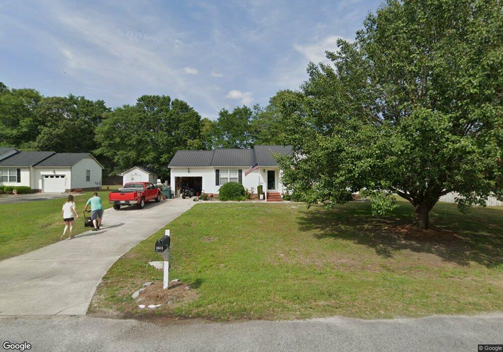
2514 Bradford Ct La Grange, NC 28551
Estimated Value: $193,000 - $235,000
3
Beds
2
Baths
1,198
Sq Ft
$173/Sq Ft
Est. Value
About This Home
This home is located at 2514 Bradford Ct, La Grange, NC 28551 and is currently estimated at $207,180, approximately $172 per square foot. 2514 Bradford Ct is a home located in Lenoir County with nearby schools including Banks Elementary School, E.B. Frink Middle School, and North Lenoir High School.
Ownership History
Date
Name
Owned For
Owner Type
Purchase Details
Closed on
Apr 9, 2008
Sold by
Laws William Jefferson and Laws Dana C
Bought by
Perry Millicent Arlene
Current Estimated Value
Home Financials for this Owner
Home Financials are based on the most recent Mortgage that was taken out on this home.
Original Mortgage
$105,730
Outstanding Balance
$67,061
Interest Rate
6.08%
Mortgage Type
New Conventional
Estimated Equity
$140,119
Create a Home Valuation Report for This Property
The Home Valuation Report is an in-depth analysis detailing your home's value as well as a comparison with similar homes in the area
Home Values in the Area
Average Home Value in this Area
Purchase History
| Date | Buyer | Sale Price | Title Company |
|---|---|---|---|
| Perry Millicent Arlene | $109,000 | None Available |
Source: Public Records
Mortgage History
| Date | Status | Borrower | Loan Amount |
|---|---|---|---|
| Open | Perry Millicent Arlene | $105,730 |
Source: Public Records
Tax History Compared to Growth
Tax History
| Year | Tax Paid | Tax Assessment Tax Assessment Total Assessment is a certain percentage of the fair market value that is determined by local assessors to be the total taxable value of land and additions on the property. | Land | Improvement |
|---|---|---|---|---|
| 2025 | $1,314 | $168,919 | $19,040 | $149,879 |
| 2024 | $1,029 | $104,070 | $14,000 | $90,070 |
| 2023 | $1,029 | $104,070 | $14,000 | $90,070 |
| 2022 | $1,029 | $104,070 | $14,000 | $90,070 |
| 2021 | $1,027 | $104,070 | $14,000 | $90,070 |
| 2020 | $1,027 | $104,070 | $14,000 | $90,070 |
| 2019 | $1,029 | $104,070 | $14,000 | $90,070 |
| 2018 | $924 | $104,070 | $14,000 | $90,070 |
| 2017 | $929 | $104,070 | $14,000 | $90,070 |
| 2014 | $948 | $107,724 | $14,000 | $93,724 |
| 2013 | -- | $107,724 | $14,000 | $93,724 |
| 2011 | -- | $107,724 | $14,000 | $93,724 |
Source: Public Records
Map
Nearby Homes
- 2526 Moulton Dr
- 2445 Tammy Dr
- 3178 Alton Phillips Rd
- 3711 Drew Farmer Rd
- 3684 Drew Farmer Rd
- 3696 Drew Farmer Rd
- 3725 Huntcliff Dr
- 3766 Huntcliff Dr
- 3740 Huntcliff Dr
- 3803 Huntcliff Dr
- 2321 Fred Everett Rd
- 3730 Huntcliff Dr
- 3379 Danfield Dr
- 3395 Danfield Dr
- 3128 Kelly Rd
- 3494 Danfield Dr
- 2886 Fox Run Cir
- 2912 Fox Run Cir
- 3100 Wheat Swamp Rd
- 2712 Stokes Cir
- 2495 Stratford Dr
- 2522 Bradford Ct
- 2517 Wesleyan Ct
- 2523 Wesleyan Ct
- 2503 Stratford Dr
- 2515 Bradford Ct
- 2528 Bradford Ct
- 2507 Bradford Ct
- 2523 Bradford Ct
- 2527 Wesleyan Ct
- 2496 Stratford Dr
- 2532 Bradford Ct
- 2486 Stratford Dr
- 2504 Stratford Dr
- 2529 Bradford Ct
- 2478 Stratford Dr
- 2824 Cornell Ct
- 2816 Cornell Ct
- 2512 Stratford Dr
- 2522 Wesleyan Ct