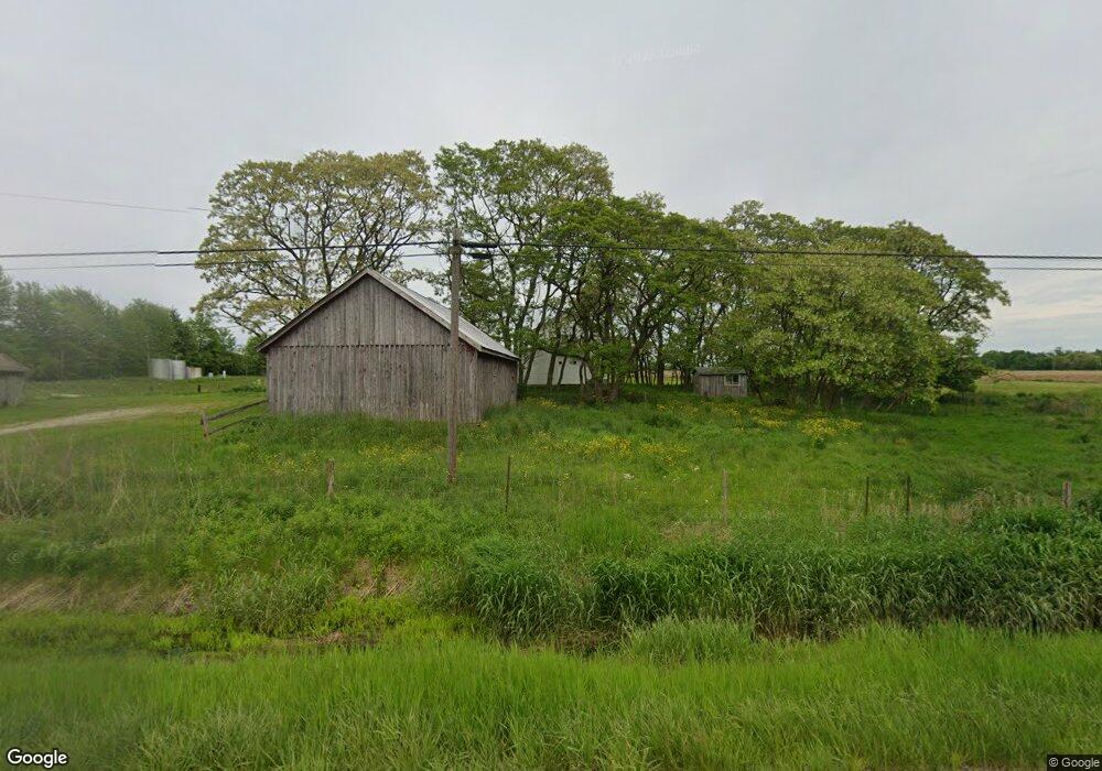
2514 State Route 7 N Pierpont, OH 44082
Estimated Value: $113,000 - $203,000
5
Beds
--
Bath
1,816
Sq Ft
$90/Sq Ft
Est. Value
About This Home
This home is located at 2514 State Route 7 N, Pierpont, OH 44082 and is currently estimated at $163,657, approximately $90 per square foot. 2514 State Route 7 N is a home located in Ashtabula County with nearby schools including Lakeshore Primary Elementary School, Gateway Elementary School, and Conneaut Middle School.
Ownership History
Date
Name
Owned For
Owner Type
Purchase Details
Closed on
May 29, 2024
Sold by
Miller Elizabeth
Bought by
Koran David C and Sweet Alissa L
Current Estimated Value
Purchase Details
Closed on
Apr 9, 2014
Sold by
Byler Atlee J and Byler Verna J
Bought by
Miller Elizabeth
Purchase Details
Closed on
Aug 26, 2013
Sold by
Byler Atlee J and Byler Verna J
Bought by
Byler Atlee J and Byler Verna J
Create a Home Valuation Report for This Property
The Home Valuation Report is an in-depth analysis detailing your home's value as well as a comparison with similar homes in the area
Home Values in the Area
Average Home Value in this Area
Purchase History
| Date | Buyer | Sale Price | Title Company |
|---|---|---|---|
| Koran David C | $100,000 | Title Professionals Group | |
| Koran David C | $100,000 | Title Professionals Group | |
| Miller Elizabeth | -- | None Available | |
| Byler Atlee J | -- | None Available | |
| Byler Atlee J | -- | None Available |
Source: Public Records
Tax History Compared to Growth
Tax History
| Year | Tax Paid | Tax Assessment Tax Assessment Total Assessment is a certain percentage of the fair market value that is determined by local assessors to be the total taxable value of land and additions on the property. | Land | Improvement |
|---|---|---|---|---|
| 2024 | $3,269 | $47,610 | $7,180 | $40,430 |
| 2023 | $1,636 | $47,610 | $7,180 | $40,430 |
| 2022 | $1,239 | $34,410 | $5,530 | $28,880 |
| 2021 | $1,272 | $34,410 | $5,530 | $28,880 |
| 2020 | $1,272 | $34,410 | $5,530 | $28,880 |
| 2019 | $1,387 | $36,090 | $5,430 | $30,660 |
| 2018 | $1,337 | $36,090 | $5,430 | $30,660 |
| 2017 | $1,220 | $36,090 | $5,430 | $30,660 |
| 2016 | $1,106 | $33,320 | $4,970 | $28,350 |
| 2015 | $1,105 | $33,320 | $4,970 | $28,350 |
| 2014 | $1,474 | $33,320 | $4,970 | $28,350 |
| 2013 | $1,545 | $30,530 | $3,540 | $26,990 |
Source: Public Records
Map
Nearby Homes
- 5011 Beckwith Rd
- 0 Middle Rd
- 2608 Stanhope Kelloggsville Rd
- 5024 Hilldom Rd
- 1148 Lewis Rd
- 0 Lewis Rd
- 0 Root Rd
- 350 Ohio 7
- 2342 & 2412 Artman Rd
- 627 State Line Rd
- 5051 Center Rd
- 0 Gageville-Monroe Rd
- 5958 Weaver Rd
- 6232 Weaver Rd
- 6421 Weaver Rd
- 3037 Philadelphia Rd
- 5719 N Richmond Rd
- V/L State Route 167
- 6174 US Route 6
- 0 Steamburg Rd
- 2514 Ohio 7
- 2472 State Route 7 N
- 2445 State Route 7 N
- 2558 State Route 7 N
- 2528 State Route 7 N
- 2555 State Route 7 N
- 2601 State Route 7 N
- 2350 State Route 7 N
- 2650 State Route 7 N
- 5860 Beckwith Rd
- 5848 Beckwith Rd
- 2681 State Route 7 N
- 5950 Beckwith Rd
- 5802 Beckwith Rd
- 2287 State Route 7 N
- 2710 State Route 7 N
- 5732 Beckwith Rd
- 5714 Beckwith Rd
- 6120 Beckwith Rd
- 0 Beckwith Rd Unit 2447716