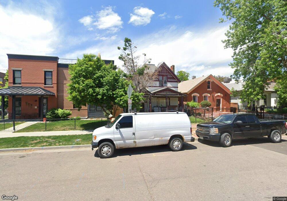
2515 Curtis St Denver, CO 80205
Five Points NeighborhoodEstimated Value: $642,480 - $894,000
5
Beds
1
Bath
1,613
Sq Ft
$480/Sq Ft
Est. Value
About This Home
This home is located at 2515 Curtis St, Denver, CO 80205 and is currently estimated at $774,620, approximately $480 per square foot. 2515 Curtis St is a home located in Denver County with nearby schools including Whittier ECE-8 School, Cole Arts & Science Academy, and McAuliffe Manual Middle School.
Ownership History
Date
Name
Owned For
Owner Type
Purchase Details
Closed on
Jul 19, 2016
Sold by
Santistevan Anthony Jude and Santistevan Jennifer
Bought by
Santistevan Anthony Jude and Santistevan Jennifer
Current Estimated Value
Purchase Details
Closed on
Feb 22, 1999
Sold by
Jude Santistevan Anthony
Bought by
Santistevan Anthony Jude and Santistevan Jennifer
Home Financials for this Owner
Home Financials are based on the most recent Mortgage that was taken out on this home.
Original Mortgage
$75,000
Interest Rate
6.83%
Create a Home Valuation Report for This Property
The Home Valuation Report is an in-depth analysis detailing your home's value as well as a comparison with similar homes in the area
Home Values in the Area
Average Home Value in this Area
Purchase History
| Date | Buyer | Sale Price | Title Company |
|---|---|---|---|
| Santistevan Anthony Jude | -- | None Available | |
| Santistevan Anthony Jude | -- | -- |
Source: Public Records
Mortgage History
| Date | Status | Borrower | Loan Amount |
|---|---|---|---|
| Closed | Santistevan Anthony Jude | $75,000 |
Source: Public Records
Tax History Compared to Growth
Tax History
| Year | Tax Paid | Tax Assessment Tax Assessment Total Assessment is a certain percentage of the fair market value that is determined by local assessors to be the total taxable value of land and additions on the property. | Land | Improvement |
|---|---|---|---|---|
| 2024 | $3,329 | $42,030 | $16,980 | $25,050 |
| 2023 | $3,257 | $42,030 | $16,980 | $25,050 |
| 2022 | $3,118 | $39,210 | $25,460 | $13,750 |
| 2021 | $3,010 | $40,340 | $26,190 | $14,150 |
| 2020 | $2,665 | $35,920 | $19,300 | $16,620 |
| 2019 | $2,590 | $35,920 | $19,300 | $16,620 |
| 2018 | $2,159 | $27,910 | $16,650 | $11,260 |
| 2017 | $2,153 | $27,910 | $16,650 | $11,260 |
| 2016 | $1,878 | $23,030 | $12,274 | $10,756 |
| 2015 | $1,799 | $23,030 | $12,274 | $10,756 |
| 2014 | $1,605 | $19,330 | $6,925 | $12,405 |
Source: Public Records
Map
Nearby Homes
- 2525 Arapahoe St Unit RD315
- 2525 Arapahoe St Unit 213
- 2550 Lawrence St Unit RB306
- 2550 Lawrence St Unit RB204
- 1150 26th St
- 1019 26th St
- 2496 Champa St
- 2524 Champa St Unit 4
- 2400 N Broadway Unit 4
- 2500 Walnut St Unit 202
- 2500 Walnut St Unit 201
- 2721 Curtis St
- 2641 Stout St
- 2256 Curtis St
- 2815 Curtis St
- 2560 Blake St Unit 205
- 709 27th St
- 2801 Lawrence St
- 1016 28th St
- 2731 California St