2515 Forrestbrook Dr Kannapolis, NC 28083
Estimated Value: $517,000 - $665,000
3
Beds
3
Baths
4,555
Sq Ft
$127/Sq Ft
Est. Value
About This Home
This home is located at 2515 Forrestbrook Dr, Kannapolis, NC 28083 and is currently estimated at $577,730, approximately $126 per square foot. 2515 Forrestbrook Dr is a home located in Cabarrus County with nearby schools including Forest Park Elementary School, Kannapolis Middle, and A.L. Brown High School.
Ownership History
Date
Name
Owned For
Owner Type
Purchase Details
Closed on
Sep 16, 2020
Sold by
Freeman Elizabeth Ann and Estate Of Monty Dewayne Freema
Bought by
Freeman Gray Priscilla Godwin
Current Estimated Value
Create a Home Valuation Report for This Property
The Home Valuation Report is an in-depth analysis detailing your home's value as well as a comparison with similar homes in the area
Home Values in the Area
Average Home Value in this Area
Purchase History
| Date | Buyer | Sale Price | Title Company |
|---|---|---|---|
| Freeman Gray Priscilla Godwin | -- | None Available |
Source: Public Records
Tax History
| Year | Tax Paid | Tax Assessment Tax Assessment Total Assessment is a certain percentage of the fair market value that is determined by local assessors to be the total taxable value of land and additions on the property. | Land | Improvement |
|---|---|---|---|---|
| 2025 | $4,968 | $444,740 | $66,290 | $378,450 |
| 2024 | $4,968 | $444,740 | $66,290 | $378,450 |
| 2023 | $3,889 | $318,370 | $56,090 | $262,280 |
| 2022 | $3,874 | $318,370 | $56,090 | $262,280 |
| 2021 | $3,874 | $318,370 | $56,090 | $262,280 |
| 2020 | $3,874 | $318,370 | $56,090 | $262,280 |
| 2019 | $3,904 | $320,840 | $56,090 | $264,750 |
Source: Public Records
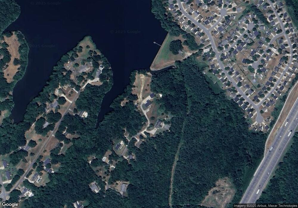
Map
Nearby Homes
- 915 Harbour View Cove NE
- 2495 Centergrove Rd
- 2458 Saguaro Ln
- 304 Athens Hills Place
- 2640 Centergrove Rd
- 2485 Acadia Ct
- 1838 Summit Ridge Ln
- 2990 Dale Earnhardt Blvd
- 2122 Centergrove Rd
- 2271 Knowles St
- 2882 Centergrove Rd
- 2124 Clear Brook Dr
- 2020 Quill Ct
- 00 Dixie Dr
- 1655 Garnett St
- 307 S Little Texas Rd
- 1699 Mission Oaks St
- 1365 Eagle Claw Dr
- 1768 Concord Lake Rd
- 108 S Little Texas Rd
- 2508 Forrestbrook Dr
- 2495 Forrestbrook Dr
- 2500 Forrestbrook Dr
- 2489 Forrestbrook Dr
- 2490 Forrestbrook Dr
- 2414 Pine Cape Ct
- 2483 Forrestbrook Dr
- 2410 Pine Cape Ct
- 2413 Pine Cape Ct
- 2477 Forrestbrook Dr
- 2644 Captains Watch
- 2648 Captains Watch
- 2640 Captains Watch
- 2636 Captains Watch Rd NE
- 2652 Captains Watch
- 2636 Captains Watch
- 2632 Captains Watch Rd NE
- 2476 Forrestbrook Dr
- 2656 Captains Watch
- 2632 Captains Watch
Your Personal Tour Guide
Ask me questions while you tour the home.