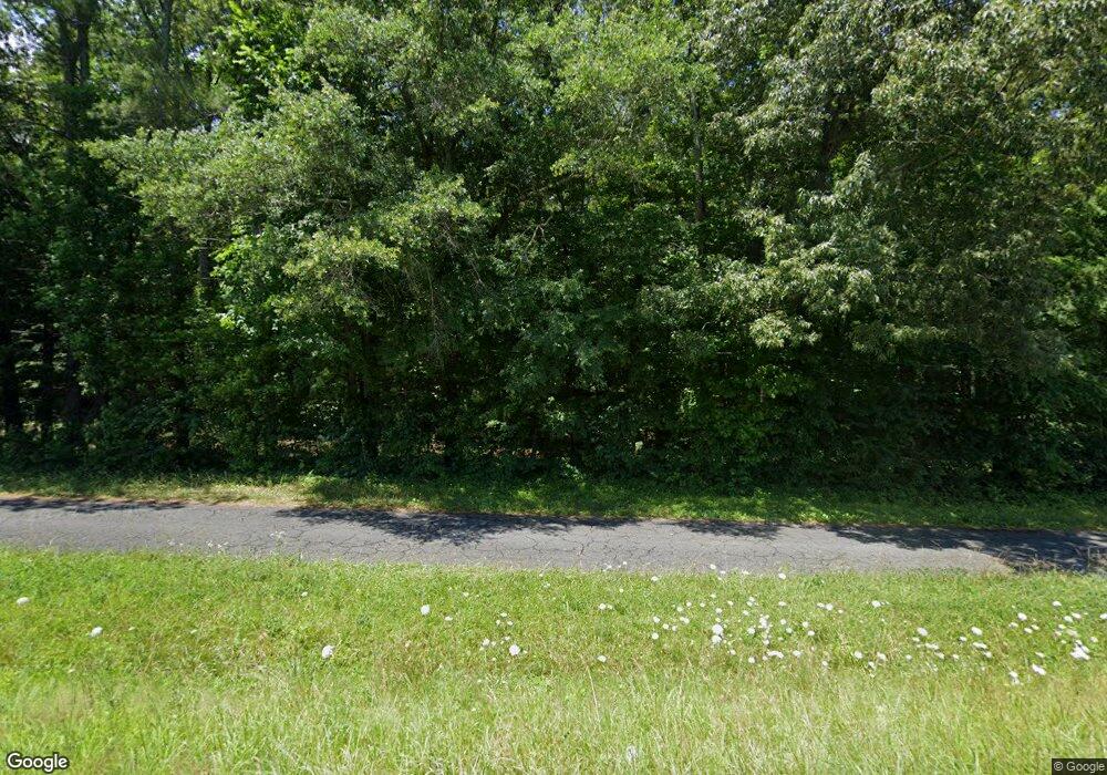
2515 Joe Frank Harris Pkwy SE Cartersville, GA 30120
Estimated Value: $122,486 - $151,000
2
Beds
--
Bath
916
Sq Ft
$149/Sq Ft
Est. Value
About This Home
This home is located at 2515 Joe Frank Harris Pkwy SE, Cartersville, GA 30120 and is currently estimated at $136,743, approximately $149 per square foot. 2515 Joe Frank Harris Pkwy SE is a home located in Bartow County with nearby schools including Kingston Elementary School, Cass Middle School, and Cass High School.
Ownership History
Date
Name
Owned For
Owner Type
Purchase Details
Closed on
Aug 9, 2018
Sold by
Howell
Bought by
Tran Benjamin
Current Estimated Value
Purchase Details
Closed on
Aug 7, 2018
Sold by
Cedar Crest Real Estate Llc
Bought by
Ledford Betty Boring
Purchase Details
Closed on
Jun 4, 2018
Sold by
Ryan Torrence
Bought by
Cedar Crest Real Estate Llc
Purchase Details
Closed on
Nov 6, 2017
Sold by
Howell Marion Boring Estat
Bought by
Cedar Crest Real Estate Llc
Purchase Details
Closed on
Nov 1, 2017
Sold by
Ledford Betty Boring
Bought by
Ryan Torrence
Create a Home Valuation Report for This Property
The Home Valuation Report is an in-depth analysis detailing your home's value as well as a comparison with similar homes in the area
Home Values in the Area
Average Home Value in this Area
Purchase History
| Date | Buyer | Sale Price | Title Company |
|---|---|---|---|
| Tran Benjamin | -- | -- | |
| Tran Benjamin | $65,180 | -- | |
| Ledford Betty Boring | -- | -- | |
| Cedar Crest Real Estate Llc | -- | -- | |
| Cedar Crest Real Estate Llc | $18,000 | -- | |
| Ryan Torrence | -- | -- |
Source: Public Records
Tax History Compared to Growth
Tax History
| Year | Tax Paid | Tax Assessment Tax Assessment Total Assessment is a certain percentage of the fair market value that is determined by local assessors to be the total taxable value of land and additions on the property. | Land | Improvement |
|---|---|---|---|---|
| 2024 | $1,449 | $43,039 | $43,039 | $0 |
| 2023 | $1,046 | $30,866 | $30,866 | $0 |
| 2022 | $784 | $30,866 | $30,866 | $0 |
| 2021 | $823 | $30,866 | $30,866 | $0 |
| 2020 | $848 | $30,866 | $30,866 | $0 |
| 2019 | $776 | $27,962 | $27,962 | $0 |
| 2018 | $785 | $28,162 | $27,962 | $200 |
| 2017 | $634 | $22,640 | $22,440 | $200 |
| 2016 | $639 | $22,640 | $22,440 | $200 |
| 2015 | $640 | $22,640 | $22,440 | $200 |
| 2014 | $659 | $22,600 | $22,440 | $160 |
| 2013 | -- | $22,600 | $22,440 | $160 |
Source: Public Records
Map
Nearby Homes
- 0 Mac Johnson Rd NW Unit 7616934
- 46 Mac Johnson Rd NW
- 102 Burnt Hickory Rd SW Unit Tract 2
- 1771 Joe Frank Harris Pkwy SE
- 261 Jordan Rd SE
- 273 Burnt Hickory Rd SE
- 70 Baker Rd SE
- 337 Mac Johnson Rd NW
- 188 Mac Johnson Rd NW
- 251 Mac Johnson Rd NW
- 36 Live Oak Run NW
- 305 Burnt Hickory Rd SE
- 30 Amberidge Dr NW
- 14 Glenmaura Way NW
- 109 Amberidge Dr NW
- 1317 Cassville Rd NW
- 104 Amberidge Dr NW
- 354 Oakridge Dr SE
- 40 Bishop Mill Dr NW
- 0 Mac Johnson Rd NW
- 00 Mac Johnson Rd NW
- 0 Mac Johnson Rd NW Unit 7470394
- 0 Mac Johnson Rd NW Unit 8616460
- 0 Mac Johnson Rd NW Unit 8384236
- 0 Mac Johnson Rd NW Unit 8182078
- 0 Mac Johnson Rd NW Unit 8118131
- 0 Mac Johnson Rd NW Unit 8719619
- 0 Mac Johnson Rd NW Unit 8184780
- 0 Mac Johnson Rd NW Unit 8062396
- 0 Mac Johnson Rd NW Unit 7570884
- 0 Mac Johnson Rd NW Unit 8256518
- 0 Mac Johnson Rd NW Unit 8212197
- 0 Mac Johnson Rd NW Unit 8132301
- 0 Mac Johnson Rd NW Unit 8824617
- 0 Mac Johnson Rd NW Unit 8419026
- 0 Mac Johnson Rd NW Unit 8877265
- 0 Mac Johnson Rd NW Unit 8887136
- 0 Mac Johnson Rd NW Unit 3167400
- 0 Mac Johnson Rd NW Unit 3190325
