2515 Taft Dr Lummi Island, WA 98262
Estimated Value: $885,000 - $1,015,000
4
Beds
2
Baths
2,365
Sq Ft
$406/Sq Ft
Est. Value
About This Home
This home is located at 2515 Taft Dr, Lummi Island, WA 98262 and is currently estimated at $959,572, approximately $405 per square foot. 2515 Taft Dr is a home located in Whatcom County with nearby schools including Beach Elementary School, Vista Middle School, and Ferndale High School.
Ownership History
Date
Name
Owned For
Owner Type
Purchase Details
Closed on
Oct 4, 2011
Sold by
Puckering David L
Bought by
Granger Janet E
Current Estimated Value
Home Financials for this Owner
Home Financials are based on the most recent Mortgage that was taken out on this home.
Original Mortgage
$342,900
Outstanding Balance
$234,547
Interest Rate
4.16%
Mortgage Type
New Conventional
Estimated Equity
$725,025
Purchase Details
Closed on
Jun 4, 2001
Sold by
Jensen John C
Bought by
Puckering David Lovell
Create a Home Valuation Report for This Property
The Home Valuation Report is an in-depth analysis detailing your home's value as well as a comparison with similar homes in the area
Home Values in the Area
Average Home Value in this Area
Purchase History
| Date | Buyer | Sale Price | Title Company |
|---|---|---|---|
| Granger Janet E | $428,912 | Chicago Title Insurance | |
| Puckering David Lovell | -- | Whatcom Land Title |
Source: Public Records
Mortgage History
| Date | Status | Borrower | Loan Amount |
|---|---|---|---|
| Open | Granger Janet E | $342,900 |
Source: Public Records
Tax History Compared to Growth
Tax History
| Year | Tax Paid | Tax Assessment Tax Assessment Total Assessment is a certain percentage of the fair market value that is determined by local assessors to be the total taxable value of land and additions on the property. | Land | Improvement |
|---|---|---|---|---|
| 2024 | $6,706 | $923,441 | $310,260 | $613,181 |
| 2023 | $6,706 | $889,823 | $298,965 | $590,858 |
| 2022 | $5,911 | $744,637 | $250,185 | $494,452 |
| 2021 | $5,081 | $600,523 | $201,765 | $398,758 |
| 2020 | $5,072 | $492,213 | $165,375 | $326,838 |
| 2019 | $3,748 | $446,452 | $150,000 | $296,452 |
| 2018 | $4,105 | $380,732 | $124,740 | $255,992 |
| 2017 | $3,843 | $319,412 | $104,670 | $214,742 |
| 2016 | $3,765 | $314,374 | $103,050 | $211,324 |
| 2015 | $3,484 | $304,352 | $100,350 | $204,002 |
| 2014 | -- | $278,352 | $91,800 | $186,552 |
| 2013 | -- | $269,896 | $90,000 | $179,896 |
Source: Public Records
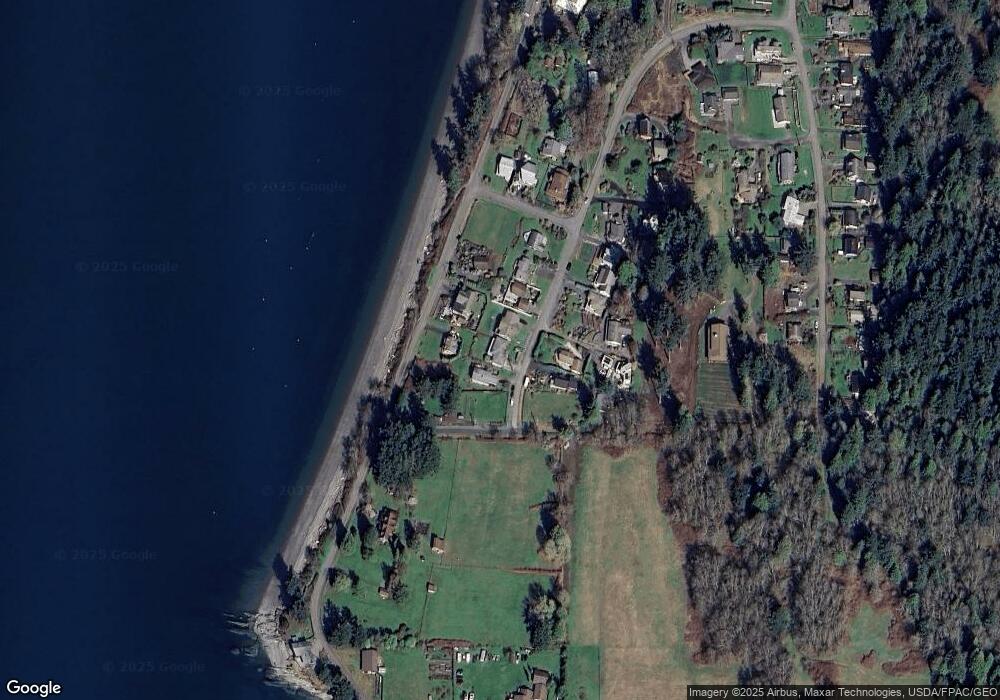
Map
Nearby Homes
- 4372 Melcher Ave
- 0 Taft Dr
- 2579 W Shore Dr
- 2591 Taft Dr
- 2395 W Shore Dr
- 2383 W Shore Dr
- 2879 N Nugent Rd Unit H8
- 2877 N Nugent Rd Unit M4
- 2877 N Nugent Rd Unit M3
- 2824 N Nugent Rd
- 2798 N Nugent Rd
- 2093 Granger Way
- 3965 Legoe Bay Rd
- 2589 Lummi View Dr
- 2619 Lummi View Dr
- 2625 Lummi View Dr
- 3456 Emma Rd
- 3455 Velma Rd
- 2560 Lummi View Dr
- 3440 Emma Rd