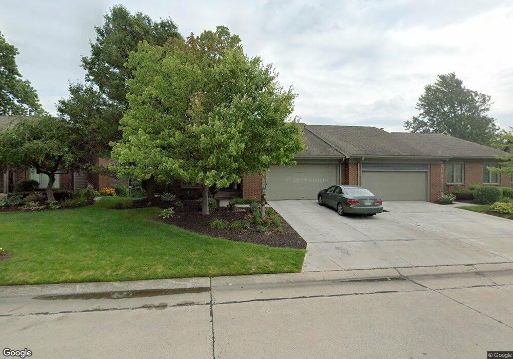
2516 E Saint Thomas Point Fort Wayne, IN 46815
Buckingham NeighborhoodEstimated Value: $292,281 - $315,000
4
Beds
4
Baths
2,059
Sq Ft
$149/Sq Ft
Est. Value
About This Home
This home is located at 2516 E Saint Thomas Point, Fort Wayne, IN 46815 and is currently estimated at $307,570, approximately $149 per square foot. 2516 E Saint Thomas Point is a home located in Allen County with nearby schools including J Wilbur Haley Elementary School, Blackhawk Middle School, and R Nelson Snider High School.
Ownership History
Date
Name
Owned For
Owner Type
Purchase Details
Closed on
Jul 29, 2019
Sold by
Knight John B and Knight Whitney C
Bought by
Macdonald David A and Macdonald Jennifer
Current Estimated Value
Home Financials for this Owner
Home Financials are based on the most recent Mortgage that was taken out on this home.
Original Mortgage
$222,750
Outstanding Balance
$193,385
Interest Rate
3.7%
Mortgage Type
Credit Line Revolving
Estimated Equity
$114,185
Purchase Details
Closed on
Sep 28, 2009
Sold by
Knight John B and Knight Whitney C
Bought by
Knight John B and Knight Whitney C
Create a Home Valuation Report for This Property
The Home Valuation Report is an in-depth analysis detailing your home's value as well as a comparison with similar homes in the area
Home Values in the Area
Average Home Value in this Area
Purchase History
| Date | Buyer | Sale Price | Title Company |
|---|---|---|---|
| Macdonald David A | $247,500 | Titan Title Serivces Llc | |
| Macdonald David A | $247,500 | Titan Title Serivces Llc | |
| Knight John B | -- | None Available |
Source: Public Records
Mortgage History
| Date | Status | Borrower | Loan Amount |
|---|---|---|---|
| Open | Macdonald David A | $222,750 |
Source: Public Records
Tax History
| Year | Tax Paid | Tax Assessment Tax Assessment Total Assessment is a certain percentage of the fair market value that is determined by local assessors to be the total taxable value of land and additions on the property. | Land | Improvement |
|---|---|---|---|---|
| 2025 | $3,694 | $339,700 | $48,000 | $291,700 |
| 2024 | $3,245 | $320,600 | $48,000 | $272,600 |
| 2022 | $3,127 | $276,200 | $48,000 | $228,200 |
| 2021 | $2,711 | $241,200 | $31,000 | $210,200 |
| 2020 | $2,347 | $214,500 | $31,000 | $183,500 |
| 2019 | $2,071 | $190,800 | $31,000 | $159,800 |
| 2018 | $2,184 | $199,700 | $31,000 | $168,700 |
| 2017 | $2,369 | $214,200 | $31,000 | $183,200 |
| 2016 | $2,175 | $200,000 | $31,000 | $169,000 |
| 2014 | $1,946 | $188,100 | $31,000 | $157,100 |
| 2013 | $1,909 | $184,800 | $31,000 | $153,800 |
Source: Public Records
Map
Nearby Homes
- 2611 Neptunes Crossing
- 5722 Port Royal
- 5723 Port Royal
- 2636 Kingston Point
- 5720 Bayside Dr
- 5717 Bayside Dr
- 6113 Millhollow Ln
- 6124 Vance Ave
- 6334 Bennington Dr
- 6320 Wakopa Ct
- 6601 Bennington Dr
- 5826 Thoreau Ave
- 2818 1/2 Reed Rd
- 6136 Landmark Dr
- 5109 Woodmark Ct
- 5117 Woodmark Ct
- 1605 Benham Dr
- 3210 Arrowwood Dr
- 3437 Marias Dr
- 6322 Baychester Dr
- 2510 E Saint Thomas Point
- 2522 E Saint Thomas Point
- 2509 E Saint Thomas Point
- 2506 E Saint Thomas Point
- 2515 E Saint Thomas Point
- 2502 E Saint Thomas Point
- 2409 Kingston Point
- 2534 E Saint Thomas Point
- 2527 E Saint Thomas Point
- 2421 Kingston Point
- 2510 Kingston Point
- 2516 Kingston Point
- 5837 N Saint Thomas Point
- 2435 Kingston Point
- 5828 Port Royal
- 2526 Kingston Point
- 5831 N Saint Thomas Point
- 2727 Old Pond Cove
- 2733 Old Pond Cove
- 2515 Kingston Point
Your Personal Tour Guide
Ask me questions while you tour the home.