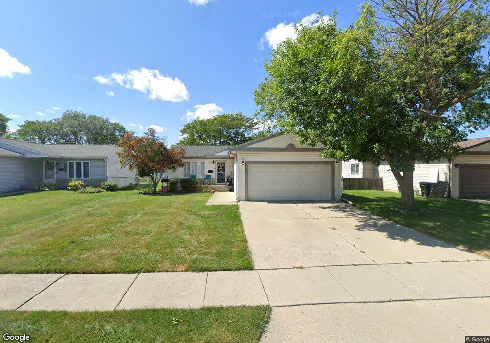
25167 Rose St Roseville, MI 48066
Estimated Value: $208,000 - $234,000
3
Beds
2
Baths
1,195
Sq Ft
$185/Sq Ft
Est. Value
About This Home
This home is located at 25167 Rose St, Roseville, MI 48066 and is currently estimated at $221,055, approximately $184 per square foot. 25167 Rose St is a home located in Macomb County with nearby schools including Dort Elementary School, Joseph G. Steenland Elementary School, and Fountain Elementary School.
Ownership History
Date
Name
Owned For
Owner Type
Purchase Details
Closed on
Mar 8, 2012
Sold by
Kish Dawn
Bought by
Parpart Anthony
Current Estimated Value
Purchase Details
Closed on
May 30, 2001
Sold by
Bolter Michael R
Bought by
Parpart Anthony C
Home Financials for this Owner
Home Financials are based on the most recent Mortgage that was taken out on this home.
Original Mortgage
$129,450
Interest Rate
7.11%
Create a Home Valuation Report for This Property
The Home Valuation Report is an in-depth analysis detailing your home's value as well as a comparison with similar homes in the area
Home Values in the Area
Average Home Value in this Area
Purchase History
| Date | Buyer | Sale Price | Title Company |
|---|---|---|---|
| Parpart Anthony | -- | None Available | |
| Parpart Anthony C | $130,500 | -- |
Source: Public Records
Mortgage History
| Date | Status | Borrower | Loan Amount |
|---|---|---|---|
| Previous Owner | Parpart Anthony C | $129,450 |
Source: Public Records
Tax History Compared to Growth
Tax History
| Year | Tax Paid | Tax Assessment Tax Assessment Total Assessment is a certain percentage of the fair market value that is determined by local assessors to be the total taxable value of land and additions on the property. | Land | Improvement |
|---|---|---|---|---|
| 2025 | $3,154 | $126,100 | $0 | $0 |
| 2024 | $1,673 | $114,700 | $0 | $0 |
| 2023 | $1,605 | $101,700 | $0 | $0 |
| 2022 | $2,817 | $85,600 | $0 | $0 |
| 2021 | $2,736 | $72,900 | $0 | $0 |
| 2020 | $1,561 | $67,700 | $0 | $0 |
| 2019 | $2,184 | $58,000 | $0 | $0 |
| 2018 | $2,355 | $0 | $0 | $0 |
| 2017 | $2,197 | $53,264 | $8,047 | $45,217 |
| 2016 | $2,184 | $53,264 | $0 | $0 |
| 2015 | $1,409 | $48,759 | $0 | $0 |
| 2013 | -- | $42,131 | $0 | $0 |
| 2011 | -- | $44,895 | $0 | $0 |
Source: Public Records
Map
Nearby Homes
- 25143 Fern St
- 25323 Fern St
- 25294 Wiseman St
- 25239 Lehner St
- 25110 Ford St
- 16097 Manchester Ave
- 25270 Ford St
- 24933 Grove Ave
- 25135 Dale St
- 25280 Dale St
- 25289 Packard St
- 16244 E 10 Mile Rd
- 25152 Leach St
- 25111 Leach St
- 24845 Grove Ave
- 16106 Chesterfield Ave
- 25673 Ford St
- 16084 Hauss Ave
- 15738 Frazho Rd
- 15676 Frazho Rd