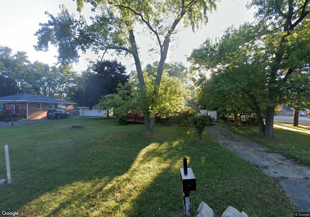
25168 Code Rd Southfield, MI 48033
Estimated Value: $190,553 - $267,000
--
Bed
1
Bath
1,075
Sq Ft
$215/Sq Ft
Est. Value
About This Home
This home is located at 25168 Code Rd, Southfield, MI 48033 and is currently estimated at $231,388, approximately $215 per square foot. 25168 Code Rd is a home located in Oakland County with nearby schools including Morris Adler Elementary School, Glenn W. Levey Middle School, and Bradford Academy.
Ownership History
Date
Name
Owned For
Owner Type
Purchase Details
Closed on
Jul 30, 2024
Sold by
Bloom Paulette A
Bought by
Bloom Paulette A and Paulette A Bloom Trust
Current Estimated Value
Purchase Details
Closed on
May 10, 2024
Sold by
Bloom Paulette A and Bloom Edward M
Bought by
Bloom Paulette A
Purchase Details
Closed on
Sep 12, 1996
Sold by
Bartholomew Eric A
Bought by
Bloom Edward M
Home Financials for this Owner
Home Financials are based on the most recent Mortgage that was taken out on this home.
Original Mortgage
$55,000
Interest Rate
8%
Mortgage Type
Purchase Money Mortgage
Create a Home Valuation Report for This Property
The Home Valuation Report is an in-depth analysis detailing your home's value as well as a comparison with similar homes in the area
Home Values in the Area
Average Home Value in this Area
Purchase History
| Date | Buyer | Sale Price | Title Company |
|---|---|---|---|
| Bloom Paulette A | -- | None Listed On Document | |
| Bloom Paulette A | -- | None Listed On Document | |
| Bloom Paulette A | -- | None Listed On Document | |
| Bloom Edward M | $95,000 | -- |
Source: Public Records
Mortgage History
| Date | Status | Borrower | Loan Amount |
|---|---|---|---|
| Previous Owner | Bloom Edward M | $55,000 |
Source: Public Records
Tax History Compared to Growth
Tax History
| Year | Tax Paid | Tax Assessment Tax Assessment Total Assessment is a certain percentage of the fair market value that is determined by local assessors to be the total taxable value of land and additions on the property. | Land | Improvement |
|---|---|---|---|---|
| 2022 | $2,021 | $80,210 | $15,730 | $64,480 |
| 2021 | $2,034 | $74,200 | $15,730 | $58,470 |
| 2020 | $1,781 | $67,010 | $13,680 | $53,330 |
| 2018 | $2,102 | $43,460 | $8,500 | $34,960 |
| 2015 | -- | $32,820 | $0 | $0 |
| 2014 | -- | $29,080 | $0 | $0 |
| 2011 | -- | $30,110 | $0 | $0 |
Source: Public Records
Map
Nearby Homes
- 25150 Briarbank Ave
- 25725 Dunbar St
- 25555 Lahser Rd Unit 15
- 25665 Lahser Rd
- 25160 Lahser Rd
- 24714 Pembrooke Dr
- 24390 Green Valley St
- 23409 Ranch Hill Dr W
- 23773 Clarkson St
- 23565 Oliver Ct
- 21763 Hidden Rivers Dr N Unit M68
- 23588 Lahser Rd
- 5000 S Civic Center Dr W Unit Ste 1302
- 21697 Mcclung Ave
- 21963 Deer Brook Dr Unit 1
- 21955 Deer Brook Dr Unit 3
- 21959 Deer Brook Dr Unit 2
- 21951 Deer Brook Dr Unit 4
- 27021 Nantucket Ct
- 23463 Berg Rd
- 25174 Code Rd
- 25201 Briarbank Ave
- 25221 Briarbank Ave
- 25232 Code Rd
- 25100 Code Rd
- 25095 Briarbank Ave
- 25233 Briarbank Ave
- 25077 Briarbank Ave
- 25247 Briarbank Ave
- 25266 Code Rd
- 25062 Code Rd
- 25184 Briarbank Ave
- 25055 Briarbank Ave
- 25261 Briarbank Ave
- 25228 Briarbank Ave
- 25265 Code Rd
- 25124 Briarbank Ave
- 25100 Briarbank Ave
- 25280 Code Rd
- 25028 Code Rd