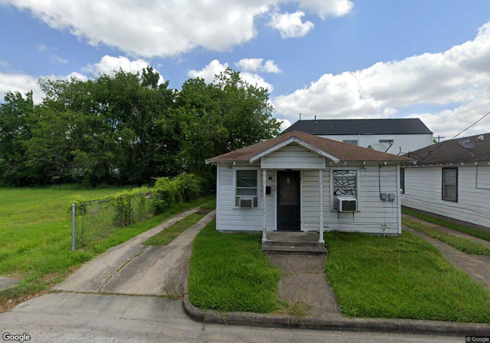
2517 Francis St Houston, TX 77004
Third Ward NeighborhoodEstimated Value: $301,000 - $449,000
3
Beds
1
Bath
1,500
Sq Ft
$250/Sq Ft
Est. Value
About This Home
This home is located at 2517 Francis St, Houston, TX 77004 and is currently estimated at $375,000, approximately $250 per square foot. 2517 Francis St is a home located in Harris County with nearby schools including Blackshear Elementary School, Cullen Middle School, and Yates High School.
Ownership History
Date
Name
Owned For
Owner Type
Purchase Details
Closed on
Jun 15, 2009
Sold by
Bratton Lynette D
Bought by
Row House Community Development Corporat
Current Estimated Value
Purchase Details
Closed on
May 20, 2006
Sold by
Allen Larry
Bought by
Brown Cathy
Purchase Details
Closed on
Feb 7, 2006
Sold by
Hawkins Wayne E
Bought by
Glenn Cathy Brown
Purchase Details
Closed on
Jan 10, 2006
Sold by
Allen Henry W and Allen Mamie
Bought by
Bratton Lynette Darlene
Purchase Details
Closed on
Jun 30, 2005
Sold by
Allen Henry W and Allen Mamie
Bought by
Bratton Lynnette Darlene
Create a Home Valuation Report for This Property
The Home Valuation Report is an in-depth analysis detailing your home's value as well as a comparison with similar homes in the area
Home Values in the Area
Average Home Value in this Area
Purchase History
| Date | Buyer | Sale Price | Title Company |
|---|---|---|---|
| Row House Community Development Corporat | -- | Fidelity National Title | |
| Brown Cathy | $1,600 | None Available | |
| Glenn Cathy Brown | -- | None Available | |
| Glenn Cathy Brown | -- | None Available | |
| Bratton Lynette Darlene | $8,400 | None Available | |
| Bratton Lynette Darlene | $6,024 | None Available | |
| Bratton Lynnette Darlene | $8,400 | -- |
Source: Public Records
Tax History Compared to Growth
Tax History
| Year | Tax Paid | Tax Assessment Tax Assessment Total Assessment is a certain percentage of the fair market value that is determined by local assessors to be the total taxable value of land and additions on the property. | Land | Improvement |
|---|---|---|---|---|
| 2025 | -- | -- | -- | -- |
| 2024 | -- | -- | -- | -- |
| 2023 | -- | -- | -- | -- |
| 2022 | $0 | $0 | $0 | $0 |
| 2021 | $0 | $0 | $0 | $0 |
| 2020 | $2,560 | $0 | $0 | $0 |
| 2019 | $2,796 | $105,700 | $105,600 | $100 |
| 2018 | $2,277 | $90,000 | $89,900 | $100 |
| 2017 | $2,379 | $90,000 | $89,900 | $100 |
| 2016 | $2,723 | $103,000 | $96,000 | $7,000 |
| 2015 | -- | $76,600 | $72,000 | $4,600 |
| 2014 | -- | $63,577 | $42,000 | $21,577 |
Source: Public Records
Map
Nearby Homes
- 3417 Live Oak St
- 2109 Holman St
- 3410 Nagle St
- 3402 Emancipation Ave
- 3012, 3014, 3016 Rosalie St
- 2511 Rosalie St
- 3207 Rosalie St
- 3420 Delano St
- 2502 Berry St
- 3229 Elgin St
- 2724 Rosalie St
- 2711 Berry St
- 2415 Anita St Unit A
- 3114 Anita St
- 2707 Berry St
- 2620 Berry St
- 2311 Nagle St
- 2709 Berry St
- 3217 Hutchins St
- 2510 Tuam St Unit G
- 2519 Francis St
- 3306 Live Oak St
- 2506 Stuart St
- 3304 Live Oak St
- 2502 Stuart St
- 3402 Live Oak St
- 3302 Live Oak St
- 2500 Stuart St
- 2504 Stuart St
- 2420 Stuart St
- 3404 Live Oak St
- 2418 Stuart St
- 2509 Stuart St
- 2413 Francis St
- 2505 Division St
- 3406 Live Oak St
- 2511 Stuart St
- 2419 Francis St
- 2416 Stuart St
- 2507 Stuart St