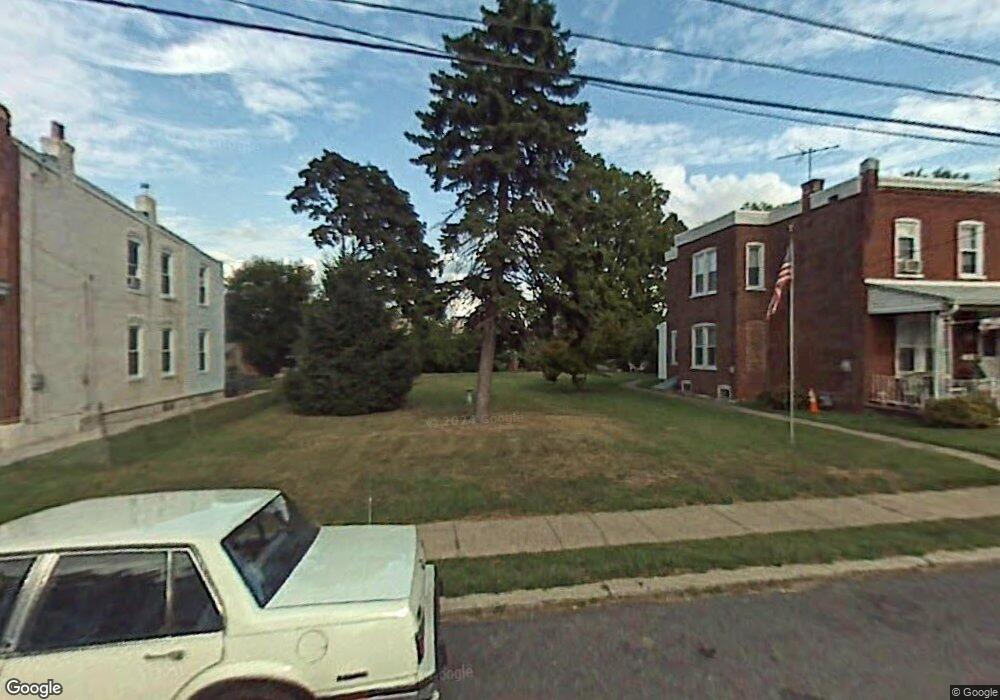
2517 Lindsay St Chester, PA 19013
Estimated Value: $136,282 - $176,000
3
Beds
1
Bath
1,448
Sq Ft
$111/Sq Ft
Est. Value
About This Home
This home is located at 2517 Lindsay St, Chester, PA 19013 and is currently estimated at $160,071, approximately $110 per square foot. 2517 Lindsay St is a home located in Delaware County with nearby schools including Widener Partnership Charter School, Chester Community Charter School, and Drexel Newman Academy.
Ownership History
Date
Name
Owned For
Owner Type
Purchase Details
Closed on
Dec 30, 2008
Sold by
Platt Jeanette T
Bought by
Barice Group Holdings Llc
Current Estimated Value
Home Financials for this Owner
Home Financials are based on the most recent Mortgage that was taken out on this home.
Original Mortgage
$82,500
Outstanding Balance
$54,360
Interest Rate
5.99%
Mortgage Type
Purchase Money Mortgage
Estimated Equity
$105,711
Create a Home Valuation Report for This Property
The Home Valuation Report is an in-depth analysis detailing your home's value as well as a comparison with similar homes in the area
Home Values in the Area
Average Home Value in this Area
Purchase History
| Date | Buyer | Sale Price | Title Company |
|---|---|---|---|
| Barice Group Holdings Llc | $110,000 | First American Title Ins Co |
Source: Public Records
Mortgage History
| Date | Status | Borrower | Loan Amount |
|---|---|---|---|
| Open | Barice Group Holdings Llc | $82,500 |
Source: Public Records
Tax History Compared to Growth
Tax History
| Year | Tax Paid | Tax Assessment Tax Assessment Total Assessment is a certain percentage of the fair market value that is determined by local assessors to be the total taxable value of land and additions on the property. | Land | Improvement |
|---|---|---|---|---|
| 2025 | $1,727 | $63,330 | $23,310 | $40,020 |
| 2024 | $1,727 | $63,330 | $23,310 | $40,020 |
| 2023 | $1,775 | $63,330 | $23,310 | $40,020 |
| 2022 | $1,807 | $63,330 | $23,310 | $40,020 |
| 2021 | $811 | $63,330 | $23,310 | $40,020 |
| 2020 | $290 | $53,060 | $26,930 | $26,130 |
| 2019 | $290 | $53,060 | $26,930 | $26,130 |
| 2018 | $297 | $53,060 | $0 | $0 |
| 2017 | $297 | $53,060 | $0 | $0 |
| 2016 | $291 | $53,060 | $0 | $0 |
| 2015 | $297 | $53,060 | $0 | $0 |
| 2014 | $297 | $53,060 | $0 | $0 |
Source: Public Records
Map
Nearby Homes
- 2523 Lindsay St
- 2515 Lindsay St
- 2525 Lindsay St
- 2511 Lindsay St
- 2518 Sandeland St
- 2526 Sandeland St
- 2516 Sandeland St
- 2509 Lindsay St
- 2524 Sandeland St
- 2514 Sandeland St
- 2526 Sandelands St
- 2535 Lindsay St
- 2528 Sandeland St
- 2512 Sandeland St
- 2503 Lindsay St
- 312 Sunnyside Ave
- 2530 Sandeland St
- 2537 Lindsay St
- 314 Sunnyside Ave
- 2501 Lindsay St