2517 Willard St Stevens Point, WI 54481
Estimated Value: $285,000 - $312,000
Studio
--
Bath
--
Sq Ft
27,704
Sq Ft Lot
About This Home
This home is located at 2517 Willard St, Stevens Point, WI 54481 and is currently estimated at $292,938. 2517 Willard St is a home located in Portage County with nearby schools including McDill Elementary School, Benjamin Franklin Junior High School, and Stevens Point Area Senior High School.
Ownership History
Date
Name
Owned For
Owner Type
Purchase Details
Closed on
Jun 20, 2023
Sold by
Nazami Muhammad Y and Nazami Lynn M
Bought by
Nazami Lynn M
Current Estimated Value
Home Financials for this Owner
Home Financials are based on the most recent Mortgage that was taken out on this home.
Original Mortgage
$103,450
Outstanding Balance
$99,724
Interest Rate
5.75%
Mortgage Type
New Conventional
Estimated Equity
$193,214
Purchase Details
Closed on
Jan 28, 2016
Sold by
Haas Ava A, Ava A,
Bought by
Haas Ava A
Create a Home Valuation Report for This Property
The Home Valuation Report is an in-depth analysis detailing your home's value as well as a comparison with similar homes in the area
Home Values in the Area
Average Home Value in this Area
Purchase History
| Date | Buyer | Sale Price | Title Company |
|---|---|---|---|
| Nazami Lynn M | -- | Point Title | |
| Haas Ava A | $70,000 | -- |
Source: Public Records
Mortgage History
| Date | Status | Borrower | Loan Amount |
|---|---|---|---|
| Open | Nazami Lynn M | $103,450 |
Source: Public Records
Tax History
| Year | Tax Paid | Tax Assessment Tax Assessment Total Assessment is a certain percentage of the fair market value that is determined by local assessors to be the total taxable value of land and additions on the property. | Land | Improvement |
|---|---|---|---|---|
| 2025 | $3,301 | $212,900 | $47,900 | $165,000 |
| 2024 | $36 | $212,900 | $47,900 | $165,000 |
| 2023 | $3,214 | $212,900 | $47,900 | $165,000 |
| 2022 | $3,136 | $212,900 | $47,900 | $165,000 |
| 2021 | $2,782 | $143,700 | $33,800 | $109,900 |
| 2020 | $2,763 | $143,700 | $33,800 | $109,900 |
| 2019 | $2,800 | $143,700 | $33,800 | $109,900 |
| 2018 | $2,639 | $143,700 | $33,800 | $109,900 |
| 2017 | $2,473 | $143,700 | $33,800 | $109,900 |
| 2016 | $2,505 | $143,700 | $33,800 | $109,900 |
| 2015 | $3,371 | $143,700 | $33,800 | $109,900 |
| 2014 | $3,571 | $143,700 | $33,800 | $109,900 |
Source: Public Records
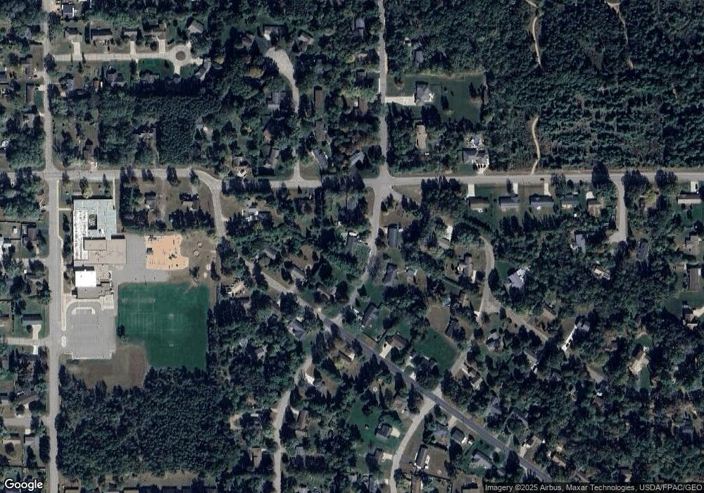
Map
Nearby Homes
- 2906 Post Rd
- 2710 Porter Rd
- 3017 1st St
- 3019 1st St
- 600 7th St
- 2200 Post Rd
- 1915 School St
- 3350 Bonnie Bay Rd
- 840 Ramble Ln
- 2704 & 2724 Post Rd
- 36.20 Acres Brentwood Dr
- 10 Acres Brentwood Dr
- 1301 Spruce Dr
- 3325 Della St
- 1011 Melody Ln
- 262 White Oak Ave
- 1031-1033 Fred's Ct
- 720 Polk St
- 1821 Post Rd
- 1500 Brookshire Dr
Your Personal Tour Guide
Ask me questions while you tour the home.