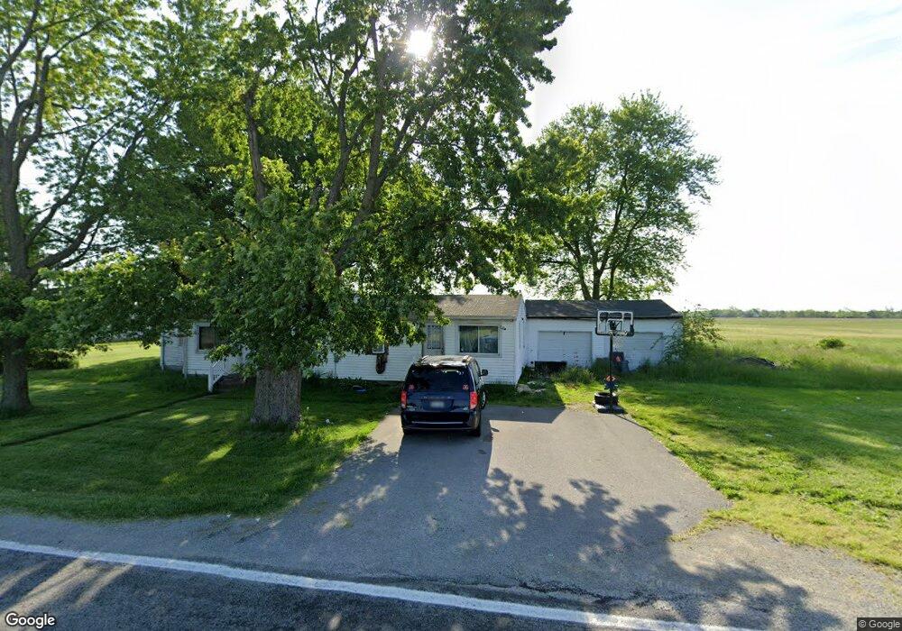
2518 Bernard Rd New Vienna, OH 45159
Estimated Value: $142,273 - $335,000
4
Beds
1
Bath
1,579
Sq Ft
$137/Sq Ft
Est. Value
About This Home
This home is located at 2518 Bernard Rd, New Vienna, OH 45159 and is currently estimated at $216,068, approximately $136 per square foot. 2518 Bernard Rd is a home located in Clinton County with nearby schools including East Clinton High School.
Ownership History
Date
Name
Owned For
Owner Type
Purchase Details
Closed on
Aug 13, 2012
Sold by
Lowe Royce D and Lowe Tina K
Bought by
Calloway Kimberly Ann
Current Estimated Value
Home Financials for this Owner
Home Financials are based on the most recent Mortgage that was taken out on this home.
Original Mortgage
$46,639
Outstanding Balance
$32,431
Interest Rate
3.75%
Mortgage Type
FHA
Estimated Equity
$183,637
Purchase Details
Closed on
Oct 18, 2000
Sold by
Lowe Edgar M
Bought by
Lowe Royce D and Lowe Tina
Home Financials for this Owner
Home Financials are based on the most recent Mortgage that was taken out on this home.
Original Mortgage
$42,800
Interest Rate
7.96%
Mortgage Type
New Conventional
Purchase Details
Closed on
May 21, 1997
Bought by
Lowe Edgar M
Create a Home Valuation Report for This Property
The Home Valuation Report is an in-depth analysis detailing your home's value as well as a comparison with similar homes in the area
Home Values in the Area
Average Home Value in this Area
Purchase History
| Date | Buyer | Sale Price | Title Company |
|---|---|---|---|
| Calloway Kimberly Ann | -- | -- | |
| Lowe Royce D | $53,500 | -- | |
| Lowe Edgar M | -- | -- |
Source: Public Records
Mortgage History
| Date | Status | Borrower | Loan Amount |
|---|---|---|---|
| Open | Calloway Kimberly Ann | $46,639 | |
| Previous Owner | Lowe Royce D | $42,800 |
Source: Public Records
Tax History Compared to Growth
Tax History
| Year | Tax Paid | Tax Assessment Tax Assessment Total Assessment is a certain percentage of the fair market value that is determined by local assessors to be the total taxable value of land and additions on the property. | Land | Improvement |
|---|---|---|---|---|
| 2024 | $889 | $22,410 | $7,950 | $14,460 |
| 2023 | $889 | $22,410 | $7,950 | $14,460 |
| 2022 | $831 | $18,140 | $5,330 | $12,810 |
| 2021 | $838 | $18,140 | $5,330 | $12,810 |
| 2020 | $828 | $18,140 | $5,330 | $12,810 |
| 2019 | $692 | $14,750 | $5,330 | $9,420 |
| 2018 | $655 | $14,750 | $5,330 | $9,420 |
| 2017 | $548 | $14,750 | $5,330 | $9,420 |
| 2016 | $611 | $16,480 | $4,400 | $12,080 |
| 2015 | $587 | $16,480 | $4,400 | $12,080 |
| 2013 | $673 | $17,580 | $5,500 | $12,080 |
Source: Public Records
Map
Nearby Homes
- 822 Bernard Rd
- 57 Kings Ct
- 2593 Terrell Rd
- 13279 Ohio 729
- 13287 State Route 729
- 208 Dorothy Ln
- 7844 Church St
- 12228 New Lexington Ave
- 0 E Fork Rd Unit 1842519
- 0 E Fork Rd Unit 1829555
- 8529 Ohio 72
- 8581 Ruby Ln
- 0 Hildebrant Rd Unit 1856809
- 1529 Hildebrant Rd
- 10035 Wolfe Rd
- 5891 Farmers Rd
- 12841 Sabina Rd
- 6081 Panhandle Rd
- 62 Kings Ct
- 392 Romans Rd