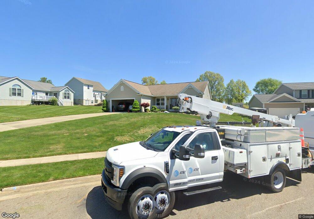
2518 Enclave St NW Uniontown, OH 44685
Estimated Value: $438,000 - $563,000
3
Beds
3
Baths
2,698
Sq Ft
$186/Sq Ft
Est. Value
About This Home
This home is located at 2518 Enclave St NW, Uniontown, OH 44685 and is currently estimated at $501,762, approximately $185 per square foot. 2518 Enclave St NW is a home located in Stark County with nearby schools including Lake Middle/High School and Lake Center Christian School.
Ownership History
Date
Name
Owned For
Owner Type
Purchase Details
Closed on
Jan 24, 2005
Sold by
Alpine Design & Development Corp
Bought by
Palcheff Andrew S and Palcheff Wendy
Current Estimated Value
Home Financials for this Owner
Home Financials are based on the most recent Mortgage that was taken out on this home.
Original Mortgage
$242,200
Outstanding Balance
$129,159
Interest Rate
5.75%
Mortgage Type
Purchase Money Mortgage
Estimated Equity
$372,603
Create a Home Valuation Report for This Property
The Home Valuation Report is an in-depth analysis detailing your home's value as well as a comparison with similar homes in the area
Home Values in the Area
Average Home Value in this Area
Purchase History
| Date | Buyer | Sale Price | Title Company |
|---|---|---|---|
| Palcheff Andrew S | $49,800 | -- |
Source: Public Records
Mortgage History
| Date | Status | Borrower | Loan Amount |
|---|---|---|---|
| Open | Palcheff Andrew S | $242,200 |
Source: Public Records
Tax History Compared to Growth
Tax History
| Year | Tax Paid | Tax Assessment Tax Assessment Total Assessment is a certain percentage of the fair market value that is determined by local assessors to be the total taxable value of land and additions on the property. | Land | Improvement |
|---|---|---|---|---|
| 2025 | -- | $161,980 | $35,280 | $126,700 |
| 2024 | -- | $161,980 | $35,280 | $126,700 |
| 2023 | $5,621 | $109,800 | $32,310 | $77,490 |
| 2022 | $5,640 | $109,800 | $32,310 | $77,490 |
| 2021 | $5,700 | $109,800 | $32,310 | $77,490 |
| 2020 | $5,662 | $97,450 | $29,300 | $68,150 |
| 2019 | $5,617 | $97,450 | $29,300 | $68,150 |
| 2018 | $5,622 | $97,450 | $29,300 | $68,150 |
| 2017 | $6,104 | $97,940 | $27,410 | $70,530 |
| 2016 | $6,116 | $97,940 | $27,410 | $70,530 |
| 2015 | $6,115 | $97,940 | $27,410 | $70,530 |
| 2014 | $1,135 | $84,490 | $23,660 | $60,830 |
| 2013 | $2,568 | $84,490 | $23,660 | $60,830 |
Source: Public Records
Map
Nearby Homes
- 2348 Ledgestone Dr NW
- 2452 Ledgestone Dr NW
- 2399 Ledgestone Dr NW
- 2455 Ledgestone Dr NW
- 2439 Ledgestone Dr NW
- 2411 Ledgestone Dr NW
- 2693 Ledgestone Dr NW
- 12494 Bridgemont Ave NW
- 835 Brodie Ct
- 843 Brodie Ct
- 12235 Cantburg Ave NW
- 12374 Springwater Ave NW
- 12340 Waterfall Ave NW
- 2498 Foxfire St NW
- 1905 Hampshire Cir NW
- 1711 Batavia St NW Unit 518B
- 0 Pine St NW
- 13341 Sugar Bush Ave NW
- 11334 Mogadore Ave NW
- 12201 King Church Ave NW
- 2530 Enclave St NW
- 2544 Enclave St NW
- 12284 San Marino Ave NW
- 2517 Enclave St NW
- 12298 San Marino Ave NW
- 12241 Titano Cir NW
- 12270 San Marino Ave NW
- 2529 Enclave St NW
- 2558 Enclave St NW
- 12237 Titano Cir NW
- 2543 Enclave St NW
- 12254 San Marino Ave NW
- 2574 Enclave St NW
- 12236 Titano Cir NW
- 2559 Enclave St NW
- 12225 Titano Cir NW
- 12273 San Marino Ave NW
- 12238 San Marino Ave NW
- 2575 Enclave St NW
- 12243 Rimini Ave NW