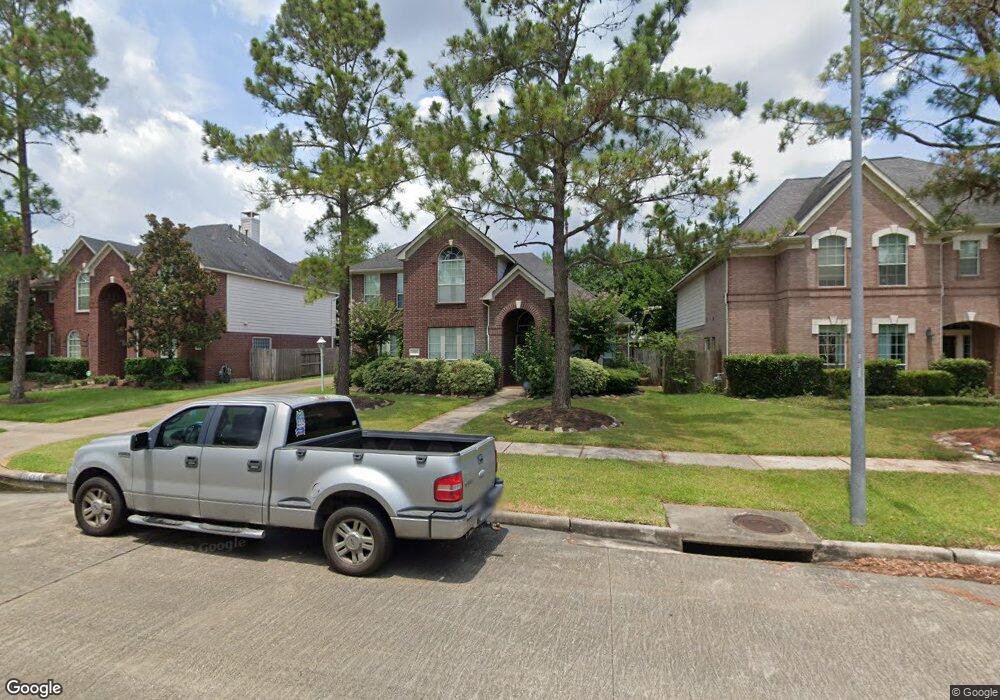
2518 Lansing Cir Pearland, TX 77584
Silverlake NeighborhoodEstimated Value: $476,239 - $536,000
--
Bed
4
Baths
3,040
Sq Ft
$167/Sq Ft
Est. Value
About This Home
This home is located at 2518 Lansing Cir, Pearland, TX 77584 and is currently estimated at $508,060, approximately $167 per square foot. 2518 Lansing Cir is a home located in Brazoria County with nearby schools including Silvercrest Elementary School, Rogers Middle School, and Berry Miller Junior High School.
Ownership History
Date
Name
Owned For
Owner Type
Purchase Details
Closed on
Feb 5, 2025
Sold by
Thomas Roy
Bought by
Roy Thomas Revocable Living Trust and Thomas
Current Estimated Value
Purchase Details
Closed on
May 12, 2000
Sold by
Newmark Homes Lp
Bought by
Thomas Roy
Home Financials for this Owner
Home Financials are based on the most recent Mortgage that was taken out on this home.
Original Mortgage
$179,800
Interest Rate
8.19%
Create a Home Valuation Report for This Property
The Home Valuation Report is an in-depth analysis detailing your home's value as well as a comparison with similar homes in the area
Home Values in the Area
Average Home Value in this Area
Purchase History
| Date | Buyer | Sale Price | Title Company |
|---|---|---|---|
| Roy Thomas Revocable Living Trust | -- | None Listed On Document | |
| Thomas Roy | -- | Pacific Title |
Source: Public Records
Mortgage History
| Date | Status | Borrower | Loan Amount |
|---|---|---|---|
| Previous Owner | Thomas Roy | $179,800 |
Source: Public Records
Tax History Compared to Growth
Tax History
| Year | Tax Paid | Tax Assessment Tax Assessment Total Assessment is a certain percentage of the fair market value that is determined by local assessors to be the total taxable value of land and additions on the property. | Land | Improvement |
|---|---|---|---|---|
| 2025 | $2,745 | $469,320 | $87,960 | $381,360 |
| 2023 | $2,745 | $417,377 | $91,790 | $378,610 |
| 2022 | $8,468 | $379,434 | $36,720 | $376,190 |
| 2021 | $8,301 | $344,940 | $30,600 | $314,340 |
| 2020 | $8,631 | $337,580 | $30,600 | $306,980 |
| 2019 | $8,397 | $324,250 | $30,600 | $293,650 |
| 2018 | $8,436 | $324,250 | $30,600 | $293,650 |
| 2017 | $8,300 | $316,930 | $30,600 | $286,330 |
| 2016 | $7,978 | $309,920 | $30,600 | $279,320 |
| 2014 | $4,409 | $251,740 | $30,600 | $221,140 |
Source: Public Records
Map
Nearby Homes
- 2507 Lansing Cir
- 2615 Pinebend Dr
- 3011 Taylorcrest Dr
- 2806 Dixon Dr
- 2708 Courtyard Ln
- 11108 Dawson Rd
- 2603 Fair Oak St
- 0 Carson Rd
- 3501 Carson Ct
- 11406 Harris Ave
- 3046 Barton Dr
- 2706 April Cove Ct
- 5618 Orangery Ln
- 2423 Mission Heights Way
- 5614 Orangery Ln
- 5519 Bonfire Alley
- 5427 Peach Garden Way
- 5519 Peach Garden Way
- 2470 Guava Hills Ln
- 5422 Blackcurrant Rd
- 2522 Lansing Cir
- 2514 Lansing Cir
- 2410 Newbridge Ct
- 2406 Newbridge Ct
- 2510 Lansing Cir
- 2402 Newbridge Ct
- 2526 Lansing Cir
- 2711 Garner Ct
- 2414 Newbridge Ct
- 2506 Lansing Cir
- 2515 Lansing Cir
- 2702 Garner Ct
- 2746 Martinec Dr
- 2715 Garner Ct
- 2511 Lansing Cir
- 2706 Garner Ct
- 2502 Lansing Cir
- 2419 Newbridge Ct
- 2742 Martinec Dr
- 2710 Garner Ct