2518 Melvin Propst Dr Morganton, NC 28655
Estimated Value: $304,000 - $367,000
4
Beds
3
Baths
1,944
Sq Ft
$168/Sq Ft
Est. Value
About This Home
This home is located at 2518 Melvin Propst Dr, Morganton, NC 28655 and is currently estimated at $326,000, approximately $167 per square foot. 2518 Melvin Propst Dr is a home located in Burke County with nearby schools including Salem Elementary School, Liberty Middle School, and Robert L. Patton High School.
Ownership History
Date
Name
Owned For
Owner Type
Purchase Details
Closed on
Apr 26, 2006
Sold by
Propst Janis M and Propst John
Bought by
Tallent Brandon and Tallent Christina
Current Estimated Value
Home Financials for this Owner
Home Financials are based on the most recent Mortgage that was taken out on this home.
Original Mortgage
$132,000
Outstanding Balance
$75,637
Interest Rate
6.31%
Mortgage Type
Future Advance Clause Open End Mortgage
Estimated Equity
$250,363
Create a Home Valuation Report for This Property
The Home Valuation Report is an in-depth analysis detailing your home's value as well as a comparison with similar homes in the area
Home Values in the Area
Average Home Value in this Area
Purchase History
| Date | Buyer | Sale Price | Title Company |
|---|---|---|---|
| Tallent Brandon | $32,000 | None Available |
Source: Public Records
Mortgage History
| Date | Status | Borrower | Loan Amount |
|---|---|---|---|
| Open | Tallent Brandon | $132,000 |
Source: Public Records
Tax History
| Year | Tax Paid | Tax Assessment Tax Assessment Total Assessment is a certain percentage of the fair market value that is determined by local assessors to be the total taxable value of land and additions on the property. | Land | Improvement |
|---|---|---|---|---|
| 2025 | $1,313 | $185,025 | $21,053 | $163,972 |
| 2024 | $1,318 | $185,025 | $21,053 | $163,972 |
| 2023 | $1,218 | $169,867 | $21,053 | $148,814 |
| 2022 | $1,300 | $152,219 | $21,053 | $131,166 |
| 2021 | $1,294 | $152,219 | $21,053 | $131,166 |
| 2020 | $1,290 | $152,219 | $21,053 | $131,166 |
| 2019 | $1,252 | $152,219 | $21,053 | $131,166 |
| 2018 | $1,211 | $147,010 | $21,053 | $125,957 |
| 2017 | $978 | $0 | $0 | $0 |
| 2016 | $978 | $120,083 | $9,975 | $110,108 |
| 2015 | $975 | $120,083 | $9,975 | $110,108 |
| 2014 | $973 | $120,083 | $9,975 | $110,108 |
| 2013 | $973 | $120,083 | $9,975 | $110,108 |
Source: Public Records
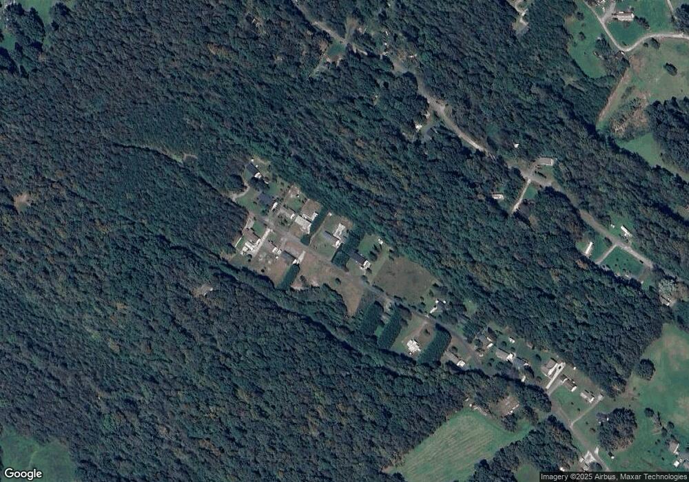
Map
Nearby Homes
- 2153 S Fork Dr
- 00 Paul Shuping Ave
- 0 Paul Shuping Ave
- 6501 Jenkins Rd Unit 3
- 4314 Belmont Dr
- 2301 Saratoga Run
- 4390 Belmont Dr
- 2522 Saratoga Run
- 2490 Saratoga Run
- VL Clark Loop
- 5341 Reese Store Ave
- 4331 Acorn Trace
- 3055 Cornwell Dr
- 578 Conley Rd Unit 37 and 38
- 3825 Wood Glen Dr Unit 5
- 3687 Cornwell Dr Unit 138
- 3163 Cornwell Dr Unit 56
- 5983 Bollinger Loop
- 4269 Aaron Ct
- 3647 Cornwell Dr Unit 45
- 2758 Melvin Propst Dr
- 2516 Melvin Propst Dr
- 2519 Melvin Propst Dr
- 2514 Melvin Propst Dr
- 2523 Melvin Propst Dr
- 2523 Melvin Propst Dr
- 2513 Melvin Propst Dr
- 2512 Melvin Propst Dr
- 2510 Melvin Propst Dr
- 2508 Melvin Propst Dr
- 4730 Crystal Creek Rd
- 2506 Melvin Propst Dr
- 2505 Melvin Propst Dr
- 4710 Crystal Creek Rd
- 2504 Melvin Propst Dr
- 4733 Crystal Creek Rd
- 2515,2517,2519 Melvin Propst Dr
- 2515 Melvin Propst Dr
- 2517 Melvin Propst Dr
- 2500 Melvin Propst Dr
Your Personal Tour Guide
Ask me questions while you tour the home.