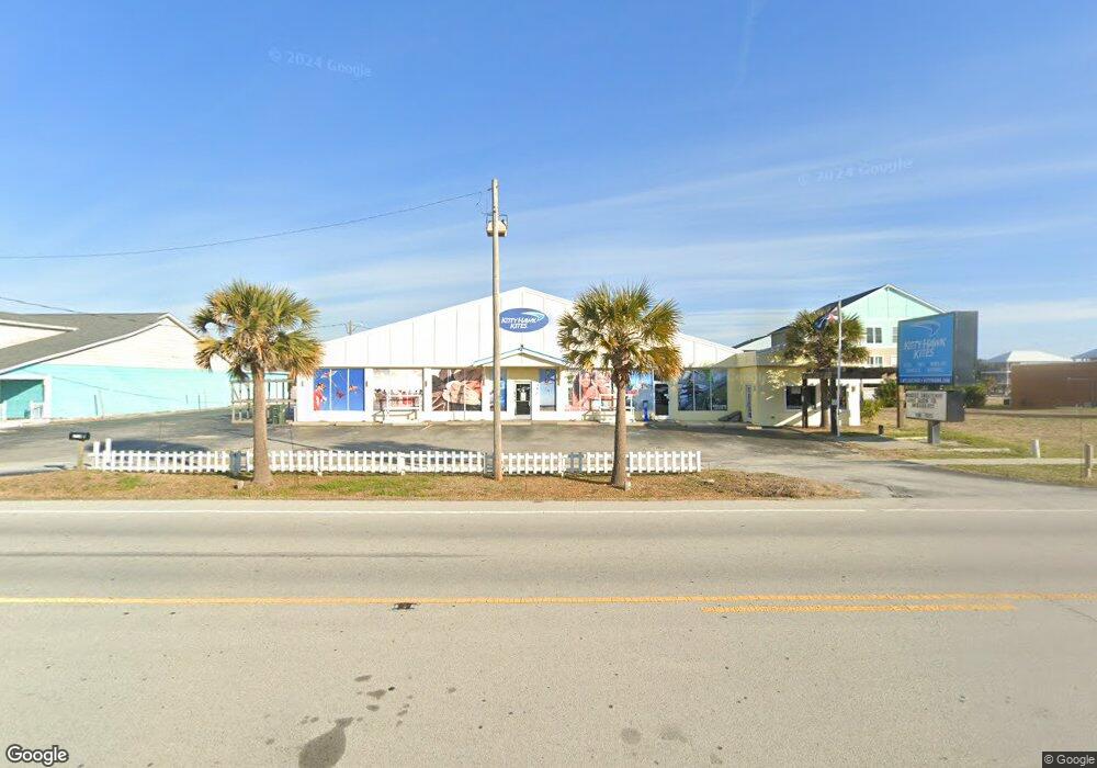
2518 W Fort MacOn Rd Atlantic Beach, NC 28512
Estimated Value: $1,060,842
--
Bed
2
Baths
4,836
Sq Ft
$219/Sq Ft
Est. Value
About This Home
This home is located at 2518 W Fort MacOn Rd, Atlantic Beach, NC 28512 and is currently estimated at $1,060,842, approximately $219 per square foot. 2518 W Fort MacOn Rd is a home located in Carteret County with nearby schools including Morehead City Primary School, Morehead Elementary School at Camp Glenn, and Morehead City Middle School.
Ownership History
Date
Name
Owned For
Owner Type
Purchase Details
Closed on
Jun 27, 2016
Sold by
Malouf Antoine P
Bought by
You Can Fly Llc
Current Estimated Value
Home Financials for this Owner
Home Financials are based on the most recent Mortgage that was taken out on this home.
Original Mortgage
$467,500
Outstanding Balance
$373,086
Interest Rate
3.57%
Mortgage Type
Commercial
Estimated Equity
$693,995
Purchase Details
Closed on
Jan 30, 2006
Sold by
Malouf Pattie L
Bought by
Malouf Antoine P
Create a Home Valuation Report for This Property
The Home Valuation Report is an in-depth analysis detailing your home's value as well as a comparison with similar homes in the area
Home Values in the Area
Average Home Value in this Area
Purchase History
| Date | Buyer | Sale Price | Title Company |
|---|---|---|---|
| You Can Fly Llc | $502,000 | Attorney | |
| Malouf Antoine P | -- | None Available |
Source: Public Records
Mortgage History
| Date | Status | Borrower | Loan Amount |
|---|---|---|---|
| Open | You Can Fly Llc | $467,500 |
Source: Public Records
Tax History Compared to Growth
Tax History
| Year | Tax Paid | Tax Assessment Tax Assessment Total Assessment is a certain percentage of the fair market value that is determined by local assessors to be the total taxable value of land and additions on the property. | Land | Improvement |
|---|---|---|---|---|
| 2025 | $2,252 | $957,245 | $654,500 | $302,745 |
| 2024 | $2,830 | $803,552 | $542,202 | $261,350 |
| 2023 | $2,747 | $803,552 | $542,202 | $261,350 |
| 2022 | $2,667 | $803,552 | $542,202 | $261,350 |
| 2021 | $2,667 | $803,552 | $542,202 | $261,350 |
| 2020 | $2,667 | $803,552 | $542,202 | $261,350 |
| 2019 | $2,566 | $822,932 | $550,271 | $272,661 |
| 2017 | $2,566 | $822,932 | $550,271 | $272,661 |
| 2016 | $2,566 | $822,932 | $550,271 | $272,661 |
| 2015 | $2,484 | $822,932 | $550,271 | $272,661 |
| 2014 | $2,235 | $739,996 | $523,167 | $216,829 |
Source: Public Records
Map
Nearby Homes
- 2509 W Fort MacOn Rd Unit 103 B
- 2503 W Fort MacOn Rd Unit 108a
- 2503 Ft MacOn Rd W Unit 207-A
- 2509 W Ft MacOn Rd W Unit 105 B
- 107 Beachwood Dr Unit A2
- 112 Lee Dr Unit A
- 105 Beachwood Dr Unit 1C
- 2306 W Ft MacOn Rd W Unit 308 H
- 2305 W Fort MacOn Rd Unit 207
- 2305 W Fort MacOn Rd Unit 101
- 2800 W Fort MacOn Rd Unit 56
- 2800 W Fort MacOn Rd Unit 46
- 2800 W Fort MacOn Rd Unit 37
- 2800 W Fort MacOn Rd Unit 35
- 201 Hoop Pole Creek Dr
- 107 Shady Ln
- 145 Hoop Pole Creek Dr Unit B
- 207 Fairview St
- 113 Hoop Pole Creek Dr
- 2111 W Ft MacOn Rd Unit 251
- 107 Beachwood Dr Unit 2B
- 107 Beachwood Dr Unit 2D
- 2604 W Fort MacOn Rd
- 2500 W Fort MacOn Rd
- 105 Beachwood Dr Unit 1D
- 105 Beachwood Dr Unit 1a
- 105 Beachwood Dr Unit D-1
- 105 Beachwood Dr Unit 1D Blue Water
- 105 Beachwood Dr Unit A
- 105 Beachwood Dr Unit 1b
- 105 Beachwood Dr Unit A-1
- 101 Beachwood Dr
- 103 Beachwood Dr
- 2509 W Fort MacOn Rd Unit B304
- 2509 W Fort MacOn Rd Unit B-204
- 2509 W Fort MacOn Rd Unit 105b
- 2509 W Fort MacOn Rd Unit U 103 B
- 2509 W Fort MacOn Rd Unit 102B
- 2509 W Fort MacOn Rd Unit 301-B
- 2509 W Fort MacOn Rd Unit 106 B