25194 Leslie Way Elmira, OR 97437
Estimated Value: $634,000 - $659,000
3
Beds
3
Baths
2,003
Sq Ft
$323/Sq Ft
Est. Value
About This Home
This home is located at 25194 Leslie Way, Elmira, OR 97437 and is currently estimated at $646,884, approximately $322 per square foot. 25194 Leslie Way is a home located in Lane County with nearby schools including Elmira Elementary School, Fern Ridge Middle School, and Elmira High School.
Ownership History
Date
Name
Owned For
Owner Type
Purchase Details
Closed on
Apr 29, 2011
Sold by
Federal National Mortgage Association
Bought by
Bernard Mark
Current Estimated Value
Purchase Details
Closed on
Sep 24, 2010
Sold by
Warne Patricia A and Warne Patrick T
Bought by
Federal National Mortgage Association
Purchase Details
Closed on
Apr 21, 2003
Sold by
Warne Patricia
Bought by
Warne Patricia A and Warne Patrick T
Home Financials for this Owner
Home Financials are based on the most recent Mortgage that was taken out on this home.
Original Mortgage
$243,200
Interest Rate
7.25%
Purchase Details
Closed on
Jan 4, 2002
Sold by
May James Patrick and May Beverly Lynn
Bought by
Warne Patricia
Home Financials for this Owner
Home Financials are based on the most recent Mortgage that was taken out on this home.
Original Mortgage
$211,400
Interest Rate
6.73%
Create a Home Valuation Report for This Property
The Home Valuation Report is an in-depth analysis detailing your home's value as well as a comparison with similar homes in the area
Home Values in the Area
Average Home Value in this Area
Purchase History
| Date | Buyer | Sale Price | Title Company |
|---|---|---|---|
| Bernard Mark | $249,900 | Multiple | |
| Federal National Mortgage Association | $366,382 | First American Title | |
| Warne Patricia A | -- | Evergreen Land Title Company | |
| Warne Patricia | $234,900 | Western Title & Escrow Compa |
Source: Public Records
Mortgage History
| Date | Status | Borrower | Loan Amount |
|---|---|---|---|
| Previous Owner | Warne Patricia A | $243,200 | |
| Previous Owner | Warne Patricia | $211,400 |
Source: Public Records
Tax History Compared to Growth
Tax History
| Year | Tax Paid | Tax Assessment Tax Assessment Total Assessment is a certain percentage of the fair market value that is determined by local assessors to be the total taxable value of land and additions on the property. | Land | Improvement |
|---|---|---|---|---|
| 2025 | $4,918 | $371,213 | -- | -- |
| 2024 | $4,779 | $360,401 | -- | -- |
| 2023 | $4,779 | $349,904 | $0 | $0 |
| 2022 | $4,467 | $339,713 | $0 | $0 |
| 2021 | $4,108 | $329,819 | $0 | $0 |
| 2020 | $4,003 | $320,213 | $0 | $0 |
| 2019 | $3,904 | $310,887 | $0 | $0 |
| 2018 | $3,769 | $293,042 | $0 | $0 |
| 2017 | $3,610 | $293,042 | $0 | $0 |
| 2016 | $3,355 | $284,507 | $0 | $0 |
| 2015 | $3,339 | $276,220 | $0 | $0 |
| 2014 | $3,281 | $268,175 | $0 | $0 |
Source: Public Records
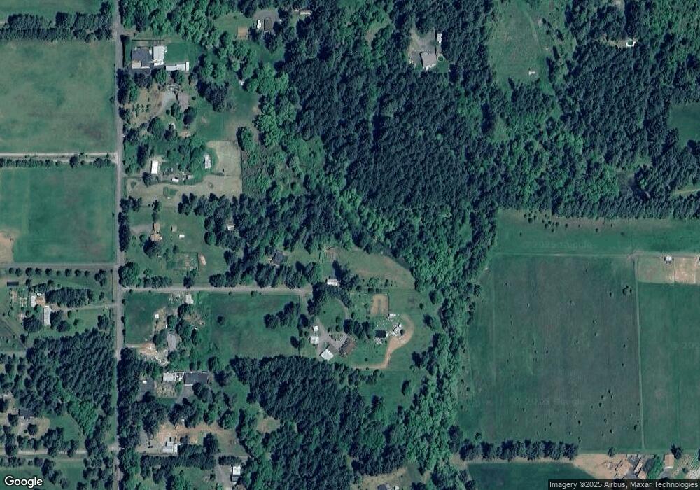
Map
Nearby Homes
- 89312 Territorial Rd
- 24417 Sailview Dr
- 0 Lakeshore Lot 1 Unit 119637472
- 88793 Territorial Hwy
- 0 Lakeshore Lot 2
- 0
- 0 Umanski Ln
- 25234 Tanglewood Way
- 25262 Tanglewood Way
- 25228 Tanglewood Way
- 88800 Winter Ln
- 0 Jeans Rd Unit 22292812
- 0 Jeans Rd Unit 758212635
- 0 Jeans Rd Unit 218932234
- 0 Territorial Hwy
- 89975 Sheffler Rd
- 88454 Sproat Ranch Rd
- 90361 Baker Rd
- 25229 Tanglewood Way
- 25221 Tanglewood Way
- 89605 Demming Rd
- 89565 Demming Rd
- 89589 Demming Rd
- 89623 Demming Rd
- 89667 Demming Rd
- 25256 Arnold Ln
- 89533 Demming Rd
- 89713 Demming Rd
- 89596 Demming Rd
- 89562 Demming Rd
- 89499 Demming Rd
- 89546 Demming Rd
- 89652 Demming Rd
- 89739 Demming Rd
- 89473 Demming Rd
- 25292 Arnold Ln
- 25222 Arnold Ln
- 25180 Arnold Ln
- 25236 Arnold Ln
- 25260 Arnold Ln