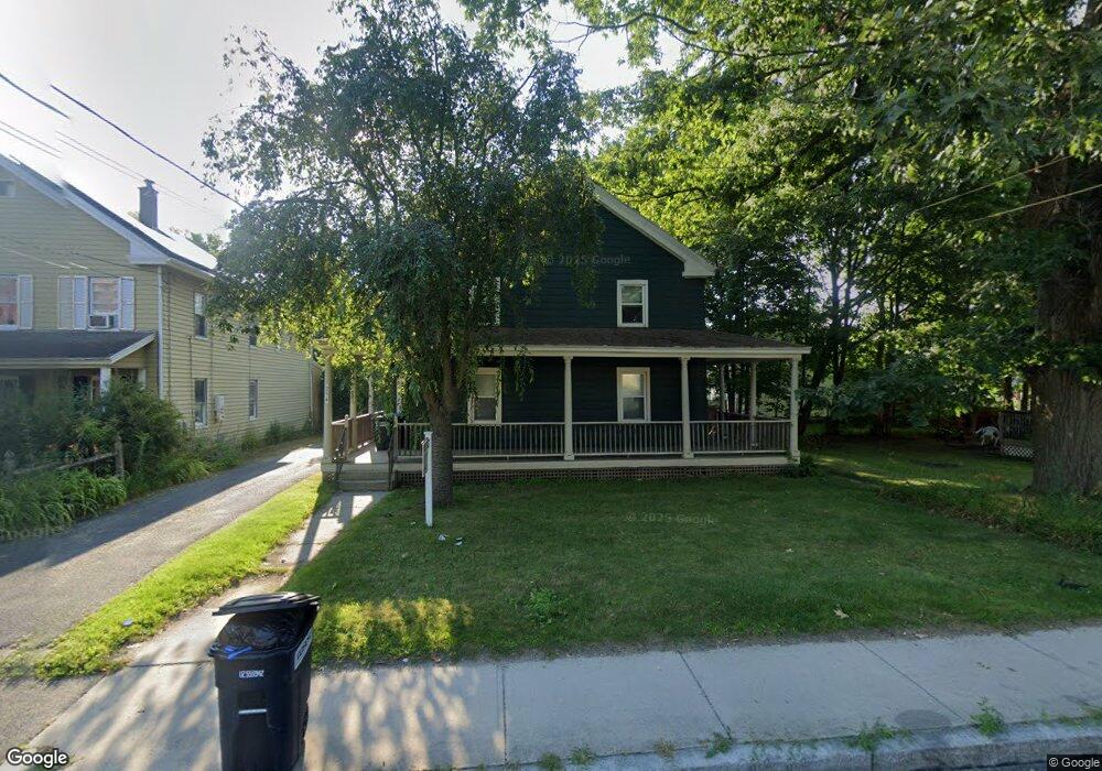
252 1st St Pittsfield, MA 01201
Estimated Value: $229,743
5
Beds
3
Baths
3,068
Sq Ft
$75/Sq Ft
Est. Value
About This Home
This home is located at 252 1st St, Pittsfield, MA 01201 and is currently estimated at $229,743, approximately $74 per square foot. 252 1st St is a home located in Berkshire County with nearby schools including Morningside Community School, Theodore Herberg Middle School, and Pittsfield High School.
Ownership History
Date
Name
Owned For
Owner Type
Purchase Details
Closed on
Oct 2, 2020
Sold by
First Street Nt
Bought by
252 First Street Llc
Current Estimated Value
Purchase Details
Closed on
Jan 21, 2005
Sold by
Kasuba Matthew J and Furciniti Carmen F
Bought by
First Street Nt and Hamel
Home Financials for this Owner
Home Financials are based on the most recent Mortgage that was taken out on this home.
Original Mortgage
$180,000
Interest Rate
5.71%
Mortgage Type
Commercial
Create a Home Valuation Report for This Property
The Home Valuation Report is an in-depth analysis detailing your home's value as well as a comparison with similar homes in the area
Home Values in the Area
Average Home Value in this Area
Purchase History
| Date | Buyer | Sale Price | Title Company |
|---|---|---|---|
| 252 First Street Llc | $155,000 | None Available | |
| First Street Nt | $180,000 | -- | |
| First Street Nt | $180,000 | -- | |
| First Street Nt | $180,000 | -- |
Source: Public Records
Mortgage History
| Date | Status | Borrower | Loan Amount |
|---|---|---|---|
| Previous Owner | First Street Nt | $180,000 |
Source: Public Records
Tax History Compared to Growth
Tax History
| Year | Tax Paid | Tax Assessment Tax Assessment Total Assessment is a certain percentage of the fair market value that is determined by local assessors to be the total taxable value of land and additions on the property. | Land | Improvement |
|---|---|---|---|---|
| 2025 | -- | $213,900 | $63,300 | $150,600 |
| 2024 | -- | $171,900 | $63,300 | $108,600 |
| 2023 | $0 | $171,900 | $63,300 | $108,600 |
| 2022 | $0 | $163,700 | $63,300 | $100,400 |
| 2021 | $0 | $171,900 | $63,300 | $108,600 |
| 2020 | $5,682 | $171,900 | $63,300 | $108,600 |
| 2019 | $0 | $171,900 | $63,300 | $108,600 |
| 2018 | $5,725 | $168,500 | $63,300 | $105,200 |
| 2017 | $5,260 | $174,100 | $63,300 | $110,800 |
| 2016 | $5,260 | $174,100 | $63,300 | $110,800 |
| 2015 | $5,260 | $174,100 | $63,300 | $110,800 |
Source: Public Records
Map
Nearby Homes
- 68 Orchard St
- 71 Maplewood Ave
- 33 Maplewood Ave Unit 305
- 33 Maplewood Ave Unit 103
- 9 Myrtle St
- 33 Adam St
- 58 Seymour St
- 51 Adam St
- 17 - 23 Linden St
- 98 Lincoln St
- 26 Springside Ave
- 29 Glenwood Ave
- 24 Glenwood Ave
- 159 Union St
- 48 Brown St
- 52 Brown St
- 114 Danforth Ave
- 19 Richmond Ave
- 138 Robbins Ave
- 27 Daniels Ave