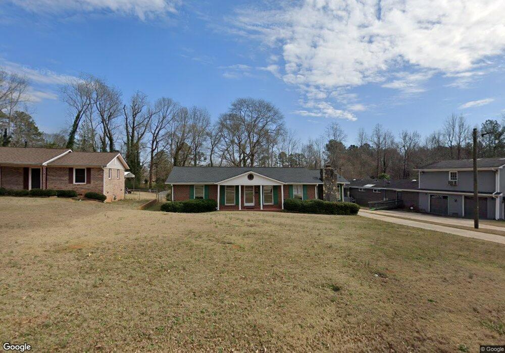
252 Armstead Cir Griffin, GA 30223
Spalding County NeighborhoodEstimated Value: $186,000 - $207,000
3
Beds
2
Baths
1,759
Sq Ft
$112/Sq Ft
Est. Value
About This Home
This home is located at 252 Armstead Cir, Griffin, GA 30223 and is currently estimated at $196,267, approximately $111 per square foot. 252 Armstead Cir is a home located in Spalding County with nearby schools including Atkinson Elementary School, Cowan Road Middle School, and Spalding High School.
Ownership History
Date
Name
Owned For
Owner Type
Purchase Details
Closed on
Nov 4, 2020
Sold by
Britt Louise Tataum
Bought by
Britt Donald and Britt Lisa L
Current Estimated Value
Purchase Details
Closed on
Jun 11, 2019
Sold by
Britt Joe L
Bought by
Britt Louise T and Britt Donald
Purchase Details
Closed on
Feb 20, 1967
Sold by
Goldstein Arthur Forrer and Goldstein Louis
Bought by
Britt Joe L and Britt Louise T
Purchase Details
Closed on
Feb 9, 1967
Sold by
Forrer Arthur
Bought by
Forrer Arthur and Goldstein Louis W
Purchase Details
Closed on
Sep 2, 1965
Sold by
Vaughn Thomas E
Bought by
Forrer Arthur
Purchase Details
Closed on
May 16, 1953
Bought by
Vaughn Thomas E
Create a Home Valuation Report for This Property
The Home Valuation Report is an in-depth analysis detailing your home's value as well as a comparison with similar homes in the area
Home Values in the Area
Average Home Value in this Area
Purchase History
| Date | Buyer | Sale Price | Title Company |
|---|---|---|---|
| Britt Donald | -- | -- | |
| Britt Louise T | -- | -- | |
| Britt Joe L | $2,200 | -- | |
| Forrer Arthur | -- | -- | |
| Forrer Arthur | $2,200 | -- | |
| Vaughn Thomas E | -- | -- |
Source: Public Records
Tax History Compared to Growth
Tax History
| Year | Tax Paid | Tax Assessment Tax Assessment Total Assessment is a certain percentage of the fair market value that is determined by local assessors to be the total taxable value of land and additions on the property. | Land | Improvement |
|---|---|---|---|---|
| 2024 | $2,228 | $57,738 | $6,000 | $51,738 |
| 2023 | $1,816 | $45,445 | $6,000 | $39,445 |
| 2022 | $1,594 | $39,879 | $4,800 | $35,079 |
| 2021 | $1,462 | $36,579 | $4,800 | $31,779 |
| 2020 | $558 | $31,283 | $4,800 | $26,483 |
| 2019 | $567 | $31,283 | $4,800 | $26,483 |
| 2018 | $497 | $28,654 | $4,800 | $23,854 |
| 2017 | $478 | $28,654 | $4,800 | $23,854 |
| 2016 | $484 | $28,654 | $4,800 | $23,854 |
| 2015 | $536 | $30,244 | $4,800 | $25,444 |
| 2014 | $744 | $30,244 | $4,800 | $25,444 |
Source: Public Records
Map
Nearby Homes
- 0 Short St Unit 10555372
- 0 Short St Unit 7572526
- 1416 Spellman Ave
- 1621 N Hill St
- 607 Lakewood Dr
- 1324 Spellman Ave
- 1307 Wildwood Dr
- 32 UNIT MUTLIPL Multiple
- 1406 Canterbury Rd
- 126 Callie Rd
- 1406 N 9th St
- 204 Derek Ct
- 418 E Northwoods Dr
- 221 Lexington Ave
- 1315 Greenbriar Dr
- 101 Behan Place
- 125 W Lexington Ave
- 112 W Lexington Ave
- 204 Custer Cir
- 209 Kentucky Ave
- 201 Ella Dr
- 250 Armstead Cir
- 248 Armstead Cir
- 219 Ella Dr
- 242 Armstead Cir
- 0 Armstead Cir Unit 7240581
- 0 Armstead Cir
- 262 Armstead Cir
- 253 Armstead Cir
- 221 Ella Dr Unit 1
- 134 Ella St
- 205 Pinetree Cir
- 207 Armstead Cir
- 207 Pinetree Cir
- 236 Armstead Cir
- 130 Ella St
- 209 Pinetree Cir
- 218 Ella Dr
- 135 Short St
- 127 Ella St