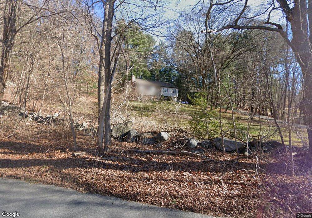
252 Aspetuck Ridge Rd New Milford, CT 06776
Estimated Value: $380,000 - $426,202
3
Beds
2
Baths
1,176
Sq Ft
$342/Sq Ft
Est. Value
About This Home
This home is located at 252 Aspetuck Ridge Rd, New Milford, CT 06776 and is currently estimated at $402,051, approximately $341 per square foot. 252 Aspetuck Ridge Rd is a home located in Litchfield County with nearby schools including Northville Elementary School, Sarah Noble Intermediate School, and Schaghticoke Middle School.
Ownership History
Date
Name
Owned For
Owner Type
Purchase Details
Closed on
Aug 20, 1992
Sold by
Lieberman Larry and Lieberman Patricia
Bought by
Herstatt Steven P
Current Estimated Value
Home Financials for this Owner
Home Financials are based on the most recent Mortgage that was taken out on this home.
Original Mortgage
$114,000
Interest Rate
4.88%
Mortgage Type
Unknown
Create a Home Valuation Report for This Property
The Home Valuation Report is an in-depth analysis detailing your home's value as well as a comparison with similar homes in the area
Home Values in the Area
Average Home Value in this Area
Purchase History
| Date | Buyer | Sale Price | Title Company |
|---|---|---|---|
| Herstatt Steven P | $142,500 | -- |
Source: Public Records
Mortgage History
| Date | Status | Borrower | Loan Amount |
|---|---|---|---|
| Open | Herstatt Steven P | $75,500 | |
| Closed | Herstatt Steven P | $30,000 | |
| Closed | Herstatt Steven P | $110,000 | |
| Closed | Herstatt Steven P | $114,000 |
Source: Public Records
Tax History Compared to Growth
Tax History
| Year | Tax Paid | Tax Assessment Tax Assessment Total Assessment is a certain percentage of the fair market value that is determined by local assessors to be the total taxable value of land and additions on the property. | Land | Improvement |
|---|---|---|---|---|
| 2025 | $8,203 | $268,940 | $77,350 | $191,590 |
| 2024 | $5,215 | $175,170 | $59,390 | $115,780 |
| 2023 | $5,076 | $175,170 | $59,390 | $115,780 |
| 2022 | $4,966 | $175,170 | $59,390 | $115,780 |
| 2021 | $142 | $175,170 | $59,390 | $115,780 |
| 2020 | $4,953 | $172,690 | $65,870 | $106,820 |
| 2019 | $142 | $172,690 | $65,870 | $106,820 |
| 2018 | $4,865 | $172,690 | $65,870 | $106,820 |
| 2017 | $4,706 | $172,690 | $65,870 | $106,820 |
| 2016 | $4,623 | $172,690 | $65,870 | $106,820 |
| 2015 | $4,593 | $171,710 | $65,870 | $105,840 |
| 2014 | $4,516 | $171,710 | $65,870 | $105,840 |
Source: Public Records
Map
Nearby Homes
- 18 Bayberry Ln
- 11 Tall Oaks Dr Unit 11
- 1 Tall Oaks Dr
- 41 Meetinghouse Terrace
- 159 Merryall Rd
- 165 Merryall Rd
- 42 Twin Oaks
- 34 Twin Oaks
- 309 Kent Rd
- 59 Carlson Ridge Rd
- 12 Wells Rd
- 3 Belair Dr Unit 3
- 77 Carlson Ridge Rd
- 40 Mount Tom Rd
- 0 Chestnut Land Rd Unit 24024843
- 0 Chestnut Land Rd Unit 24024823
- 7 Mount Tom Rd
- 74 Park Lane Rd
- 22 River Rd
- 61 Park Lane Rd
- 2 Putnam Rd
- 254 Aspetuck Ridge Rd
- 255 Aspetuck Ridge Rd
- 7 Boulder Brook Ln
- 2 Fieldstone Ln
- 1 Boulder Brook Ln
- 6 Putnam Rd
- 267 Aspetuck Ridge Rd
- 55 Fieldstone Ln
- 55-95 Fieldstone Ln
- 100 Fieldstone Ln
- 5 Boulder Brook Ln
- 6 Fieldstone Ln
- 3 Fieldstone Ln
- 270 Aspetuck Ridge Rd
- 3 Boulder Brook Ln
- 12 Putnam Rd
- 271 Aspetuck Ridge Rd
- 11 Fieldstone Ln
- 78 Long Mountain Rd