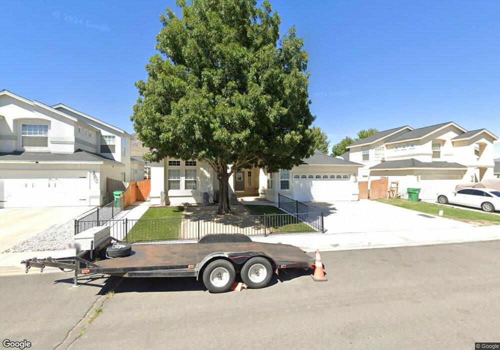
252 Corral Dr Dayton, NV 89403
Estimated Value: $402,819 - $439,000
3
Beds
2
Baths
1,692
Sq Ft
$250/Sq Ft
Est. Value
About This Home
This home is located at 252 Corral Dr, Dayton, NV 89403 and is currently estimated at $423,455, approximately $250 per square foot. 252 Corral Dr is a home located in Lyon County with nearby schools including Sutro Elementary School, Dayton Intermediate School, and Dayton High School.
Ownership History
Date
Name
Owned For
Owner Type
Purchase Details
Closed on
Apr 30, 2019
Sold by
Lohman Albert J
Bought by
Albert Lohman Trust
Current Estimated Value
Purchase Details
Closed on
Jun 24, 2017
Sold by
Grants Hereby
Bought by
Lohman Albert J
Home Financials for this Owner
Home Financials are based on the most recent Mortgage that was taken out on this home.
Original Mortgage
$140,000
Interest Rate
3.83%
Mortgage Type
New Conventional
Purchase Details
Closed on
Jul 7, 2010
Sold by
Lambert Jariett C and Lambert Debra R
Bought by
Lohman Janice G
Home Financials for this Owner
Home Financials are based on the most recent Mortgage that was taken out on this home.
Original Mortgage
$121,600
Interest Rate
4.76%
Mortgage Type
New Conventional
Create a Home Valuation Report for This Property
The Home Valuation Report is an in-depth analysis detailing your home's value as well as a comparison with similar homes in the area
Home Values in the Area
Average Home Value in this Area
Purchase History
| Date | Buyer | Sale Price | Title Company |
|---|---|---|---|
| Albert Lohman Trust | -- | None Available | |
| Lohman Albert J | -- | None Available | |
| Lohman Janice G | $152,000 | Capital Title Co |
Source: Public Records
Mortgage History
| Date | Status | Borrower | Loan Amount |
|---|---|---|---|
| Previous Owner | Lohman Albert J | $140,000 | |
| Previous Owner | Lohman Janice G | $121,600 |
Source: Public Records
Tax History
| Year | Tax Paid | Tax Assessment Tax Assessment Total Assessment is a certain percentage of the fair market value that is determined by local assessors to be the total taxable value of land and additions on the property. | Land | Improvement |
|---|---|---|---|---|
| 2025 | $1,909 | $121,476 | $56,000 | $65,476 |
| 2024 | $1,854 | $121,919 | $56,000 | $65,919 |
| 2023 | $1,854 | $117,900 | $56,000 | $61,900 |
| 2022 | $1,484 | $101,043 | $43,785 | $57,258 |
| 2021 | $1,441 | $99,684 | $43,785 | $55,899 |
| 2020 | $1,398 | $97,338 | $43,790 | $53,548 |
| 2019 | $1,357 | $80,806 | $29,190 | $51,616 |
| 2018 | $1,318 | $71,456 | $21,000 | $50,456 |
| 2017 | $1,280 | $64,485 | $14,000 | $50,485 |
| 2016 | $1,247 | $54,318 | $7,880 | $46,438 |
| 2015 | $1,245 | $42,116 | $7,880 | $34,236 |
| 2014 | $1,208 | $37,849 | $7,880 | $29,969 |
Source: Public Records
Map
Nearby Homes
- 430 Crosswinds Dr
- 737 Butte Creek Rd
- 629 Westwinds Dr
- 720 Butte Creek Rd
- 334 Monte Cristo Dr
- 7013 Highway 50
- 209 Corral Dr
- 1111 Gold Crater Place Unit Homesite 6
- 539 Rawe Peak Dr
- 737 Roberts Creek Dr
- 1115 Gold Crater Place Unit Homesite 8
- 1115 Gold Crater Place
- 708 Grubbs Well Trail
- 1107 Gold Crater Place Unit Homesite 4
- 201 Crown Point Dr
- 1109 Gold Crater Place Unit Homesite 5
- 187 Dayton Village Pkwy
- 260 Green Ln
- 258 Green Ln
- 345 Halite Dr
- 254 Corral Dr
- 521 Windchase Dr
- 248 Corral Dr
- 523 Windchase Dr
- 519 Windchase Dr
- 251 Corral Dr
- 253 Corral Dr
- 246 Corral Dr
- 249 Corral Dr
- 255 Corral Dr
- 604 Westwinds Dr
- 602 Westwinds Dr
- 517 Windchase Dr
- 600 Westwinds Dr
- 606 Westwinds Dr
- 247 Corral Dr
- 257 Corral Dr
- 244 Corral Dr
- 611 Westwinds Dr
- 515 Windchase Dr
Your Personal Tour Guide
Ask me questions while you tour the home.