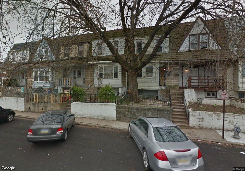
252 Coverly Rd Lansdowne, PA 19050
Estimated Value: $117,000 - $174,000
3
Beds
1
Bath
1,064
Sq Ft
$131/Sq Ft
Est. Value
About This Home
This home is located at 252 Coverly Rd, Lansdowne, PA 19050 and is currently estimated at $139,358, approximately $130 per square foot. 252 Coverly Rd is a home located in Delaware County with nearby schools including Charles Kelly El School, Upper Darby High School, and Vision Academy Charter School.
Ownership History
Date
Name
Owned For
Owner Type
Purchase Details
Closed on
Sep 12, 1996
Sold by
Mink George W and Mink Elmer
Bought by
Lashley Bobb Mavis
Current Estimated Value
Home Financials for this Owner
Home Financials are based on the most recent Mortgage that was taken out on this home.
Original Mortgage
$50,971
Outstanding Balance
$4,257
Interest Rate
7.89%
Mortgage Type
FHA
Estimated Equity
$135,101
Create a Home Valuation Report for This Property
The Home Valuation Report is an in-depth analysis detailing your home's value as well as a comparison with similar homes in the area
Home Values in the Area
Average Home Value in this Area
Purchase History
| Date | Buyer | Sale Price | Title Company |
|---|---|---|---|
| Lashley Bobb Mavis | $51,000 | Commonwealth Land Title Ins |
Source: Public Records
Mortgage History
| Date | Status | Borrower | Loan Amount |
|---|---|---|---|
| Open | Lashley Bobb Mavis | $50,971 |
Source: Public Records
Tax History Compared to Growth
Tax History
| Year | Tax Paid | Tax Assessment Tax Assessment Total Assessment is a certain percentage of the fair market value that is determined by local assessors to be the total taxable value of land and additions on the property. | Land | Improvement |
|---|---|---|---|---|
| 2025 | $2,684 | $63,460 | $13,530 | $49,930 |
| 2024 | $2,684 | $63,460 | $13,530 | $49,930 |
| 2023 | $2,659 | $63,460 | $13,530 | $49,930 |
| 2022 | $2,587 | $63,460 | $13,530 | $49,930 |
| 2021 | $3,488 | $63,460 | $13,530 | $49,930 |
| 2020 | $2,673 | $41,330 | $12,300 | $29,030 |
| 2019 | $2,627 | $41,330 | $12,300 | $29,030 |
| 2018 | $2,596 | $41,330 | $0 | $0 |
| 2017 | $2,529 | $41,330 | $0 | $0 |
| 2016 | $227 | $41,330 | $0 | $0 |
| 2015 | $227 | $41,330 | $0 | $0 |
| 2014 | $227 | $41,330 | $0 | $0 |
Source: Public Records
Map
Nearby Homes
- 243 Coverly Rd
- 291 N Wycombe Ave
- 143 Springton Rd
- 149 Springton Rd
- 239 N Maple Ave
- 142 Springton Rd
- 163 Springton Rd
- 7247 Guilford Rd
- 7265 Calvin Rd
- 404 Croyden Rd
- 339 Huntley Rd
- 127 Sherbrook Blvd
- 346 Long Ln
- 432 Grace Rd
- 7181 Ruskin Ln
- 7229 Clinton Rd
- 178 N Union Ave
- 164 Woodland Ave
- 433 Copley Rd
- 7210 Spruce St
- 254 Coverly Rd Unit 59
- 250 Coverly Rd
- 248 Coverly Rd
- 256 Coverly Rd
- 246 Coverly Rd
- 269 Sheffield Rd
- 267 Sheffield Rd
- 271 Sheffield Rd
- 265 Sheffield Rd
- 273 Sheffield Rd
- 260 Coverly Rd
- 258 Coverly Rd
- 275 Sheffield Rd
- 263 Sheffield Rd
- 253 Coverly Rd
- 287 Sheffield Rd
- 251 Coverly Rd
- 261 Coverly Rd
- 212 Guilford Rd
- 210 Guilford Rd