252 Knapp Rd Brooklyn, MI 49230
Estimated Value: $231,593 - $270,000
2
Beds
1
Bath
672
Sq Ft
$376/Sq Ft
Est. Value
About This Home
This home is located at 252 Knapp Rd, Brooklyn, MI 49230 and is currently estimated at $252,898, approximately $376 per square foot. 252 Knapp Rd is a home located in Lenawee County with nearby schools including Columbia Lower Elementary School, Columbia Upper Elementary School, and Columbia Central Jr./Sr. High School.
Ownership History
Date
Name
Owned For
Owner Type
Purchase Details
Closed on
Jul 26, 2013
Sold by
Corns William L and Corns Dolors F
Bought by
Souva Cynthia Ann
Current Estimated Value
Home Financials for this Owner
Home Financials are based on the most recent Mortgage that was taken out on this home.
Original Mortgage
$82,800
Outstanding Balance
$20,556
Interest Rate
4.33%
Mortgage Type
New Conventional
Estimated Equity
$232,342
Purchase Details
Closed on
Nov 8, 2005
Sold by
Corns William L and Corns Dolores F
Bought by
Corns William L and Corns Dolores F
Create a Home Valuation Report for This Property
The Home Valuation Report is an in-depth analysis detailing your home's value as well as a comparison with similar homes in the area
Purchase History
| Date | Buyer | Sale Price | Title Company |
|---|---|---|---|
| Souva Cynthia Ann | $103,500 | First American Title Insura | |
| Corns William L | -- | None Available |
Source: Public Records
Mortgage History
| Date | Status | Borrower | Loan Amount |
|---|---|---|---|
| Open | Souva Cynthia Ann | $82,800 |
Source: Public Records
Tax History
| Year | Tax Paid | Tax Assessment Tax Assessment Total Assessment is a certain percentage of the fair market value that is determined by local assessors to be the total taxable value of land and additions on the property. | Land | Improvement |
|---|---|---|---|---|
| 2025 | $3,128 | $93,700 | $0 | $0 |
| 2023 | $25 | $68,700 | $0 | $0 |
| 2022 | $3,310 | $68,300 | $0 | $0 |
| 2021 | $3,240 | $64,800 | $0 | $0 |
| 2020 | $3,227 | $63,200 | $0 | $0 |
| 2019 | $170,927 | $58,000 | $0 | $0 |
| 2018 | $3,186 | $58,011 | $0 | $0 |
| 2017 | $3,153 | $58,135 | $0 | $0 |
| 2016 | $3,160 | $57,562 | $0 | $0 |
| 2014 | -- | $55,808 | $0 | $0 |
Source: Public Records
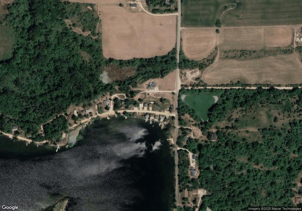
Map
Nearby Homes
- 13000 Person Hwy
- 108 Bloomfield Blvd
- 109 Bloomfield Blvd
- 139 Bloomfield Blvd
- 2764 Sunset Dr
- 3026 Village Ln
- 2149 Glenwood Ct
- 2090 Lake View Dr
- 2503 Dardy Ct
- 10000 M50 Rd
- 209 North Dr
- 12112 Hardcastle Rd
- 920 Cambridge Dr
- 318 Cedar St
- 1110 Cambridge Dr
- 11195 Singer Rd
- 11494 Tamarack Dr
- 0 North Dr
- 504 Wilbur Ave
- 10000 W M-50 Block
- 206 Knapp Rd
- 260 Knapp Rd
- 268 Knapp Rd
- 501 Knapp Rd
- 501 Knapp Rd Unit 501 Knapp St.
- 507 Knapp Rd
- 509 Knapp Rd
- 535 Knapp Rd
- 204 Knapp Rd
- 202 Knapp Rd
- 277 Knapp Rd
- 276 Knapp Rd
- 12980 Pink St
- 13075 Person Hwy
- 0 Person Hwy Unit 4008184
- 0 Person Hwy Unit 4008183
- 0 Person Hwy Unit 4006912
- 0 Person Hwy Unit 4006908
- 0 Person Hwy Unit 4006910
- 0 Person Hwy Unit 20013202
Your Personal Tour Guide
Ask me questions while you tour the home.